Top 5 European Destinations • 250 Monuments

European Architectural & Sacred Monuments Directory

Explore 250 monumental landmarks across Barcelona, Paris, Rome, Prague, and Amsterdam. Architectural historiography, 3D spatial topography, and studio neural audio guides.

All 250 European Landmarks

Showing 250 canonical dossiers
Basílica de la Sagrada Família
Barcelona•modernism
1882 - Present
41.4036°N, 2.1744°E

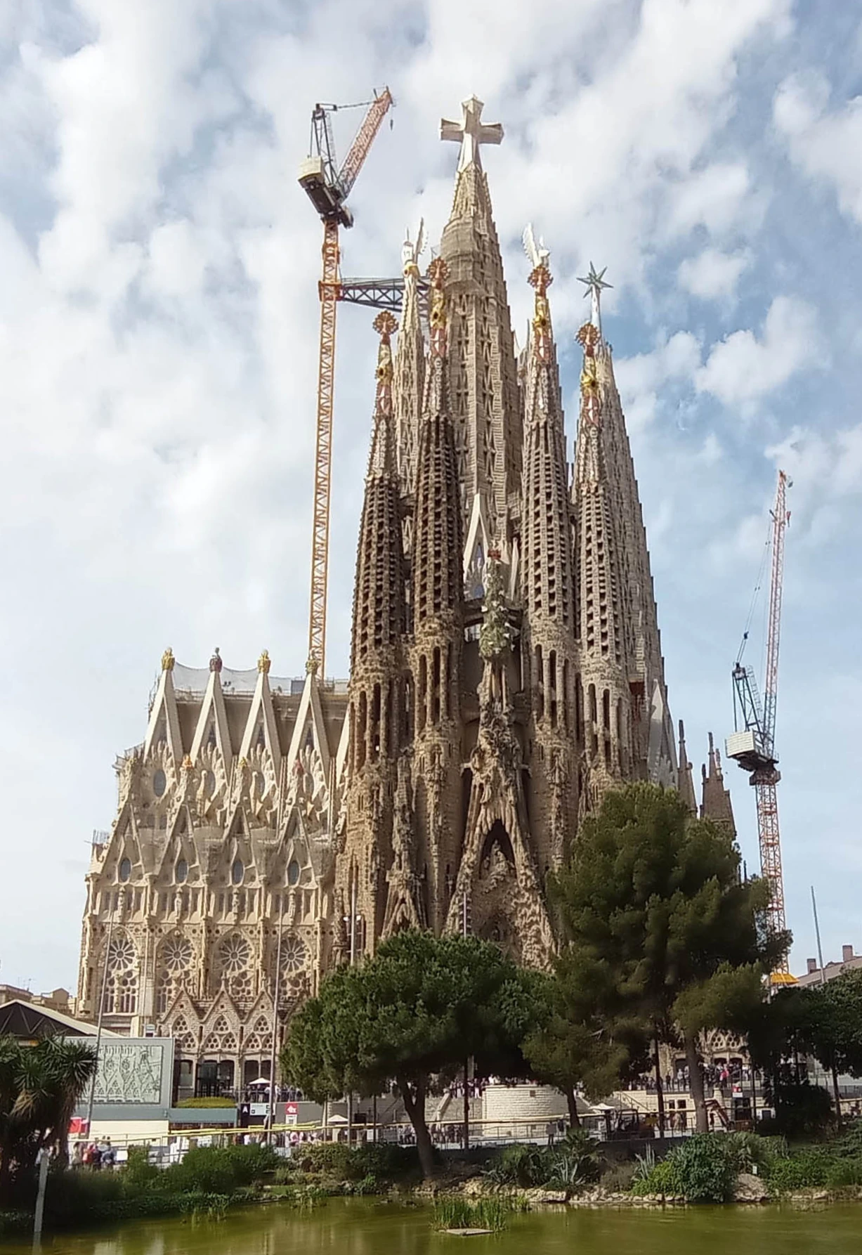
Basílica de la Sagrada Família

Monumental unfinished basilica and Antoni Gaudí's supreme masterpiece

Construction began in 1882 under architect Francisco de Paula del Villar and was taken over by Antoni Gaudí in 1883, who radically transformed it into an organic forest of stone. Consecrated by Pope Benedict XVI in 2010, it is funded entirely through private donations and visitor admissions.
Park Güell Monumental Reserve
Barcelona•modernism
1900 - 1914
41.4145°N, 2.1527°E

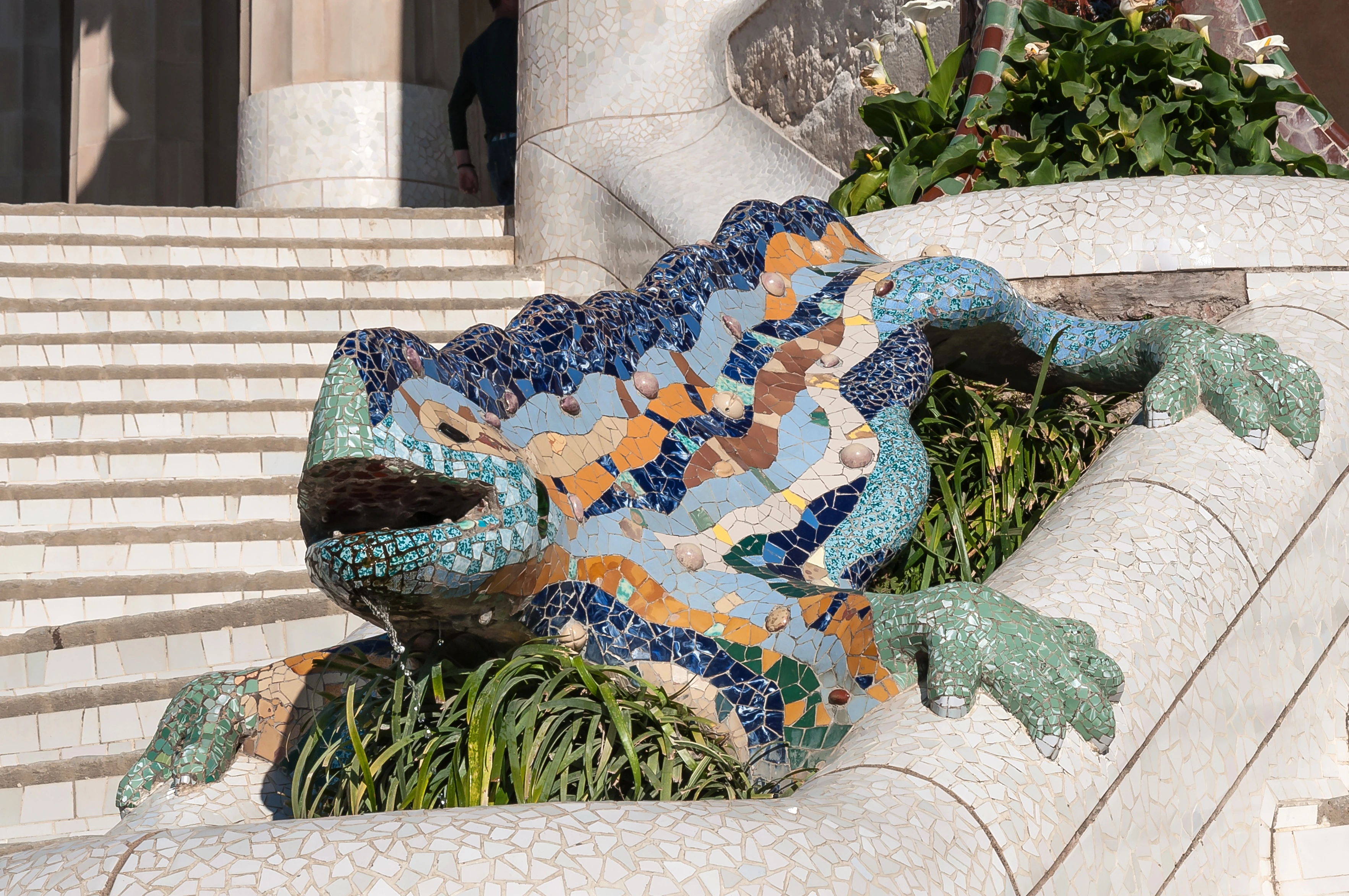
Park Güell Monumental Reserve

Visionary garden-city and monumental park with iconic mosaic terraces

Commissioned in 1900 by industrialist Count Eusebi Güell as an exclusive residential estate of 60 private villas. The urbanization halted in 1914 with only two houses completed, and the municipal council opened it as a public park in 1926.

Casa Batlló • The Dragon House
Barcelona•modernism
1904 - 1906
41.3917°N, 2.1649°E

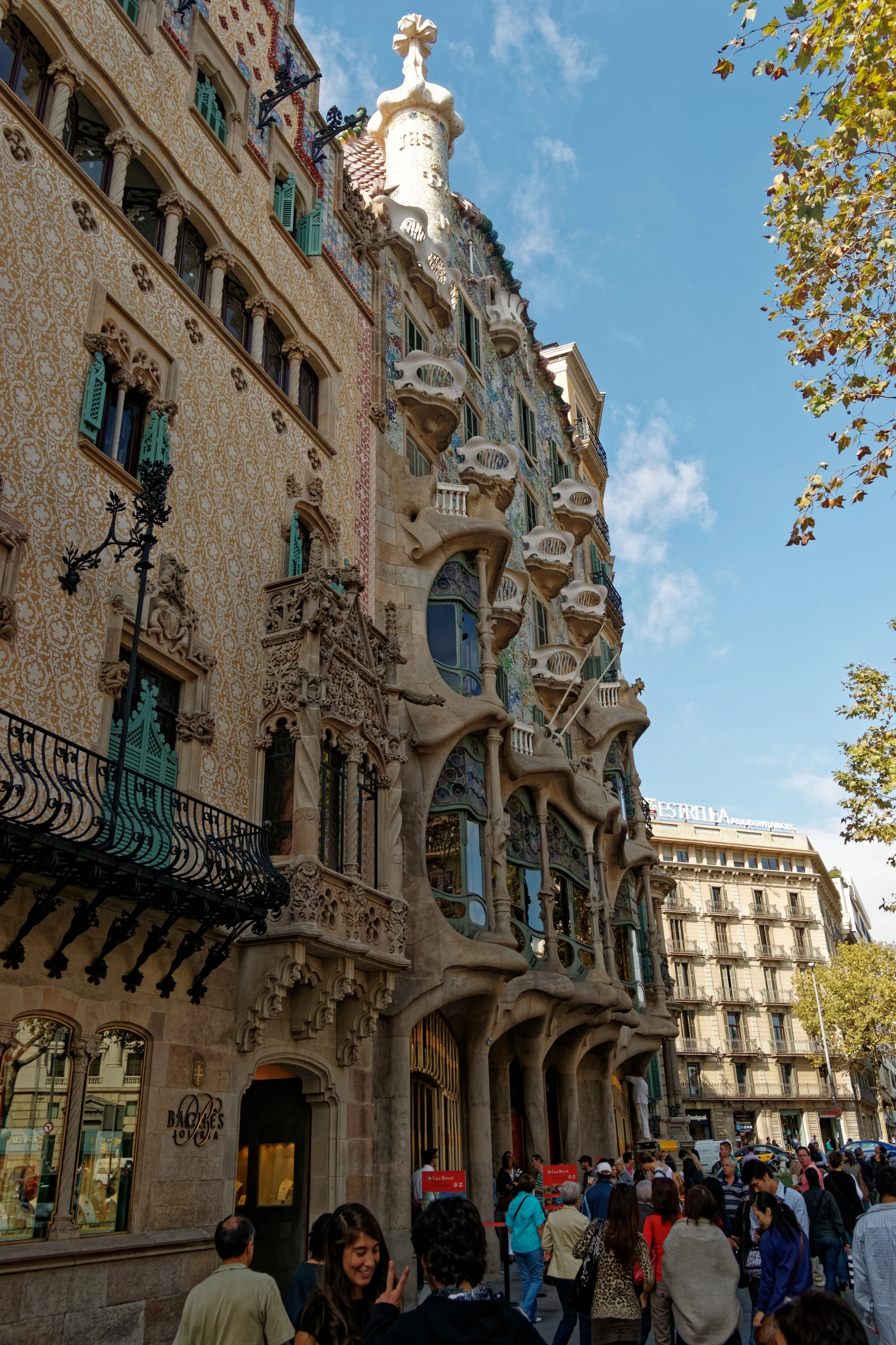
Casa Batlló • The Dragon House

Legendary Modernista residence with an undulating facade and iridescent roof

In 1904, textile magnate Josep Batlló commissioned Antoni Gaudí to renovate an existing 1877 townhouse on Passeig de Gràcia. Gaudí remodeled the facade, expanded the central lightwell, and added the iconic dragon roof between 1904 and 1906.

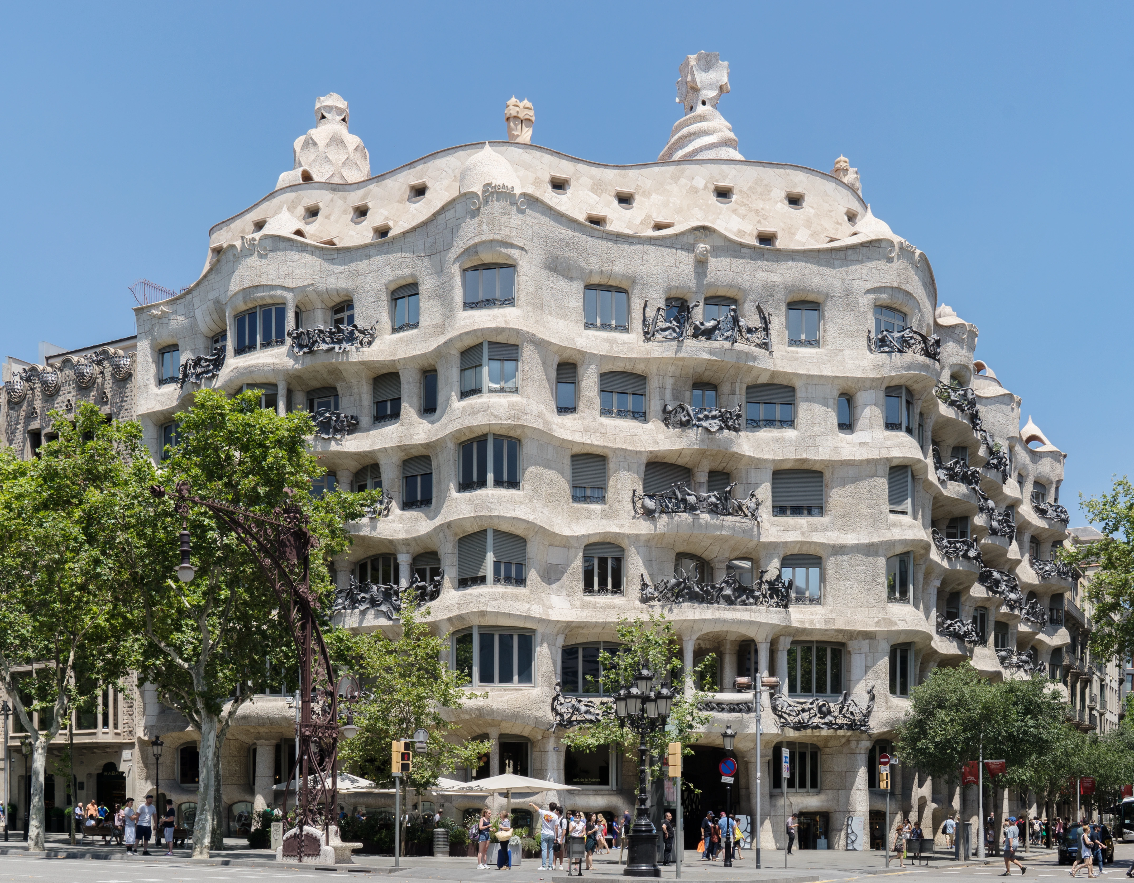
Casa Milà (La Pedrera)
Barcelona•modernism
1906 - 1912
41.3954°N, 2.1620°E

Casa Milà (La Pedrera)

Monumental undulating limestone fortress with sentinel rooftop chimneys

Constructed between 1906 and 1912 for Pere Milà and Roser Segimon. It was the last private civil residential palace designed by Gaudí before dedicating his full focus to the Sagrada Família.

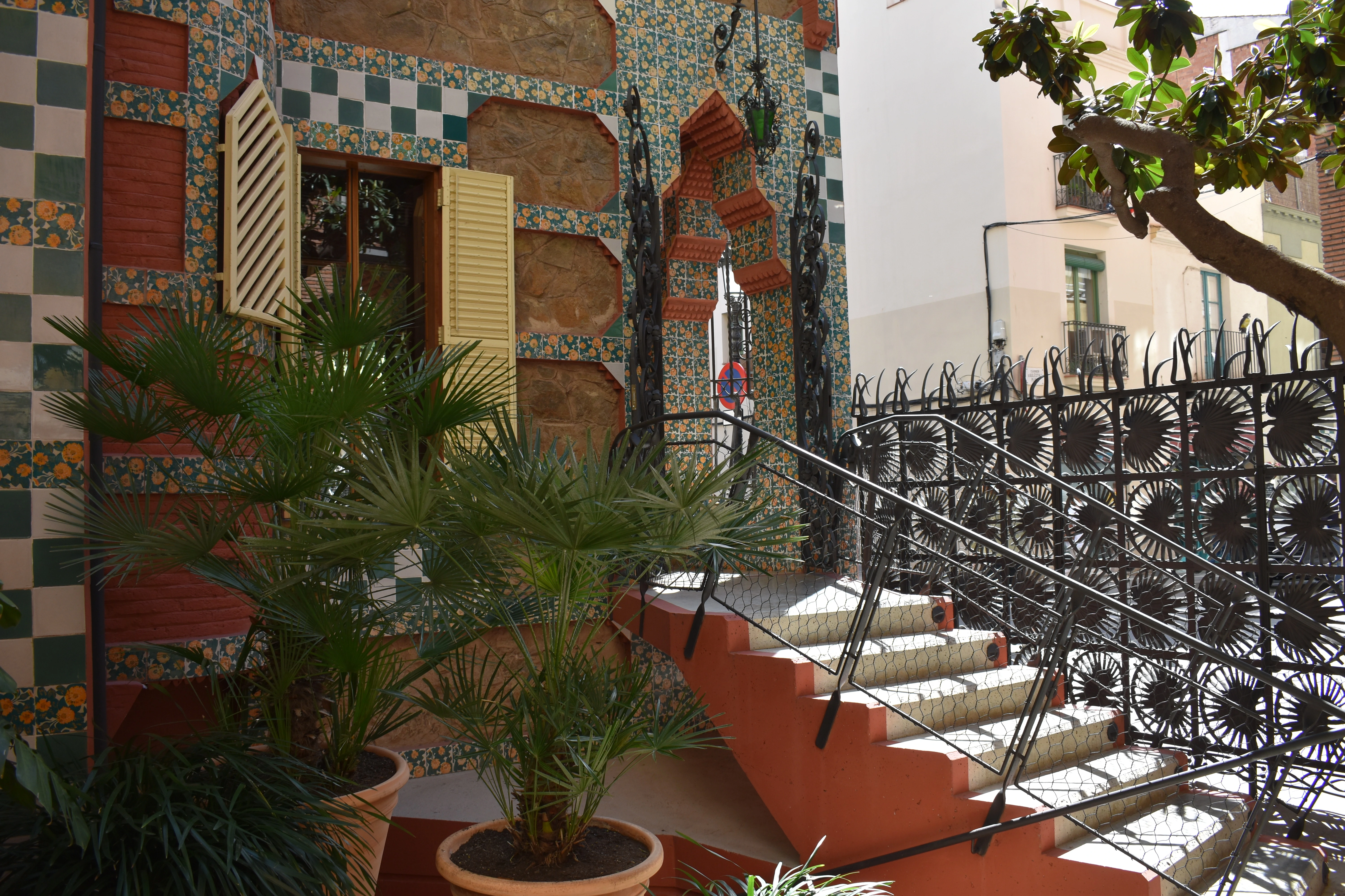
Casa Vicens
Barcelona•modernism
1883 - 1885
41.4034°N, 2.1506°E

Casa Vicens

Antoni Gaudí's first private residential masterpiece with Neo-Mudéjar flair

Built between 1883 and 1885 as a summer retreat for stockbroker Manuel Vicens i Montaner in Gràcia. Inscribed as a UNESCO World Heritage site in 2005 and opened to the public as a permanent museum in 2017.

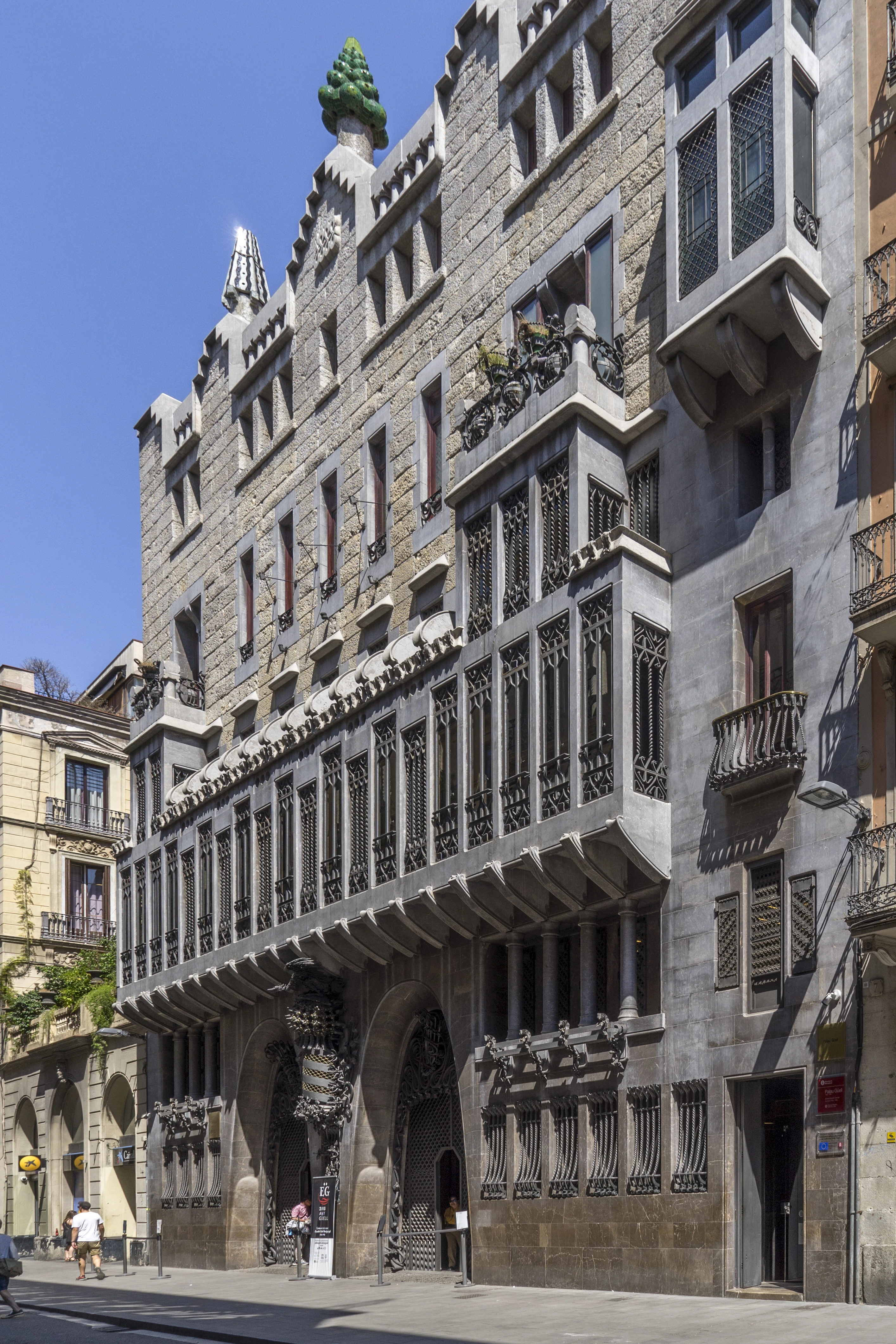
Palau Güell
Barcelona•modernism
1886 - 1890
41.3792°N, 2.1742°E

Palau Güell

Opulent urban palace with celestial parabolic cupola and sculpted chimneys

Built between 1886 and 1890 as the primary urban residence of industrialist Eusebi Güell just off Las Ramblas, establishing Gaudí's reputation among Barcelona's high-society cultural elite.

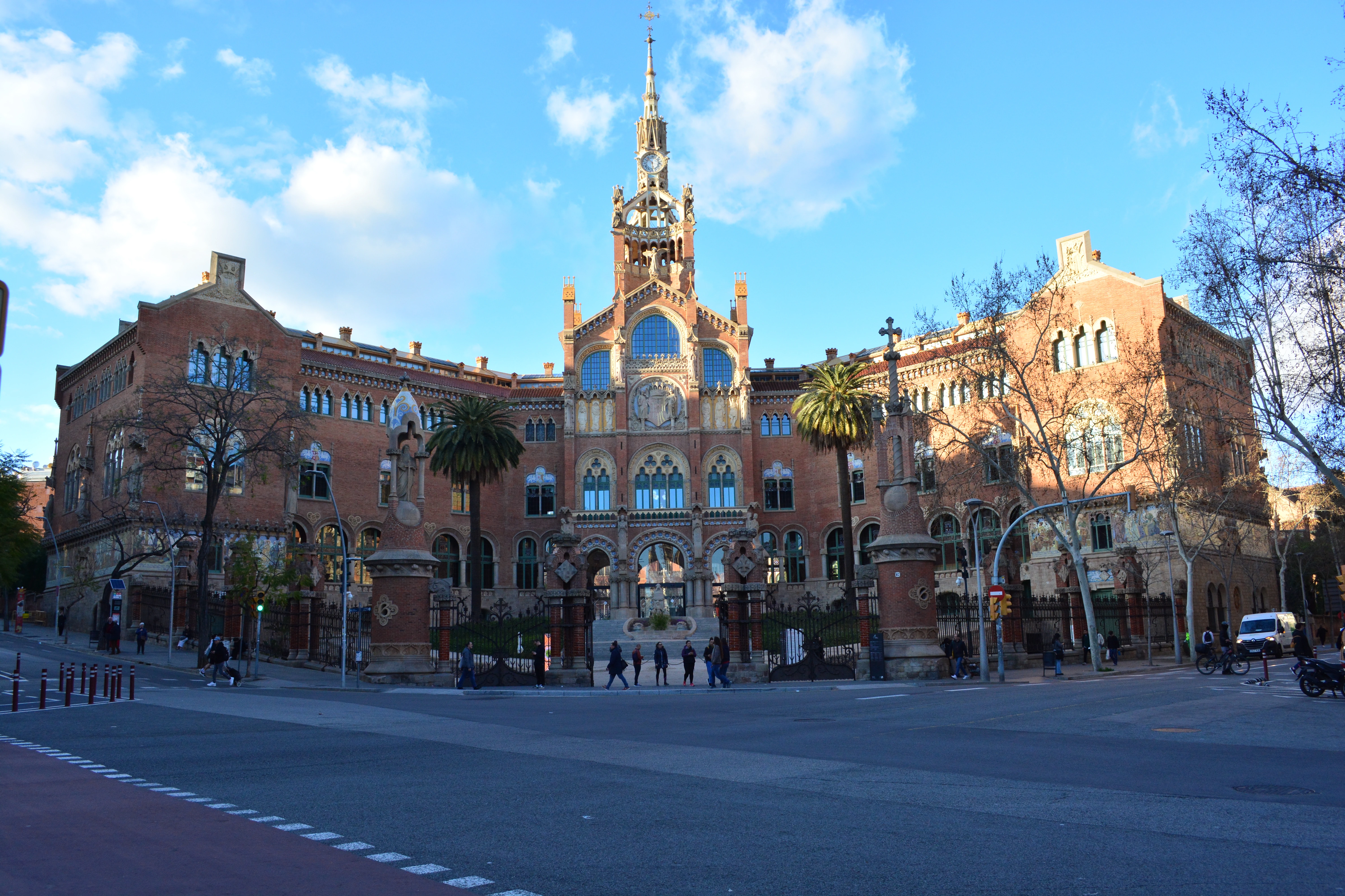
Recinte Modernista de Sant Pau
Barcelona•modernism
1901 - 1930
41.4116°N, 2.1745°E

Recinte Modernista de Sant Pau

World's largest Art Nouveau medical complex set within therapeutic gardens

Designed by master architect Lluís Domènech i Montaner and built between 1901 and 1930 through a bequest from banker Pau Gil. Functioned as a public hospital for nearly a century before its cultural restoration as a UNESCO site.

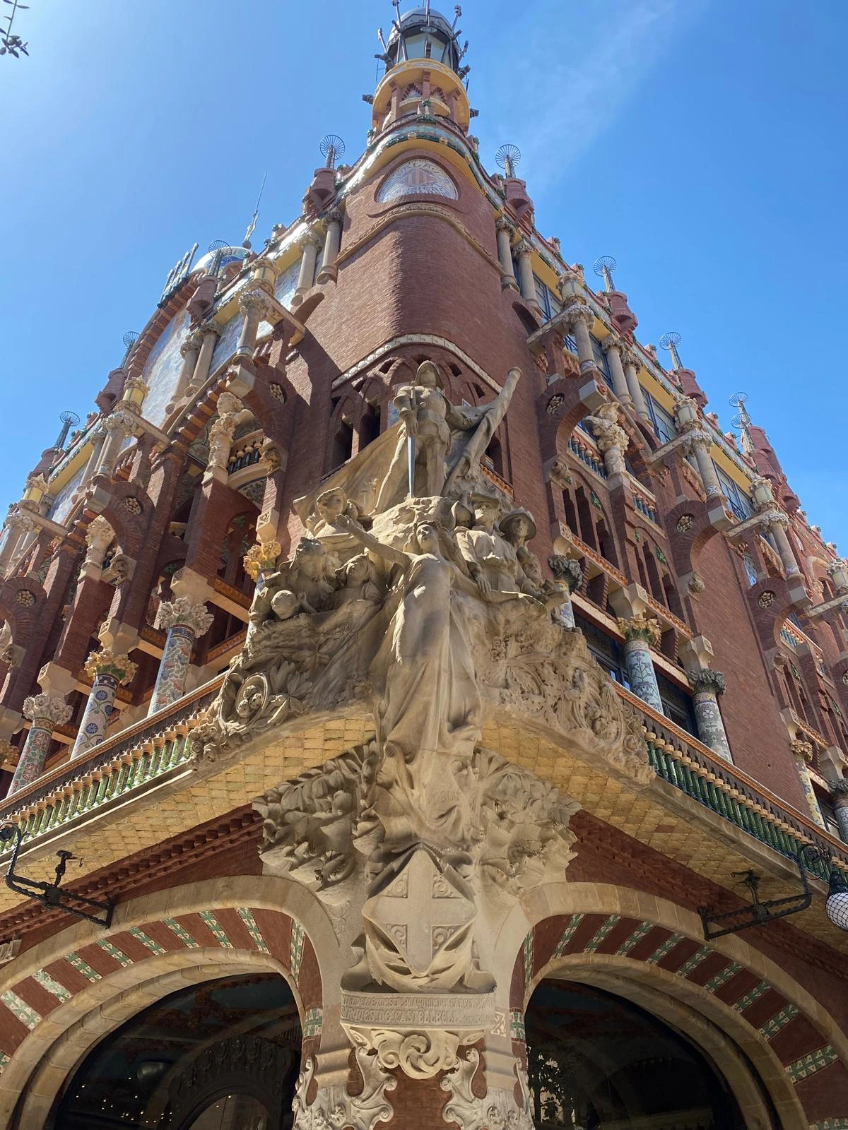
Palau de la Música Catalana
Barcelona•modernism
1905 - 1908
41.3876°N, 2.1753°E

Palau de la Música Catalana

Exuberant concert auditorium featuring an inverted stained-glass sun skylight

Built between 1905 and 1908 by Lluís Domènech i Montaner as the headquarters of the Orfeó Català choral society. Erected in just three years through public donations and designated as a UNESCO World Heritage site in 1997.

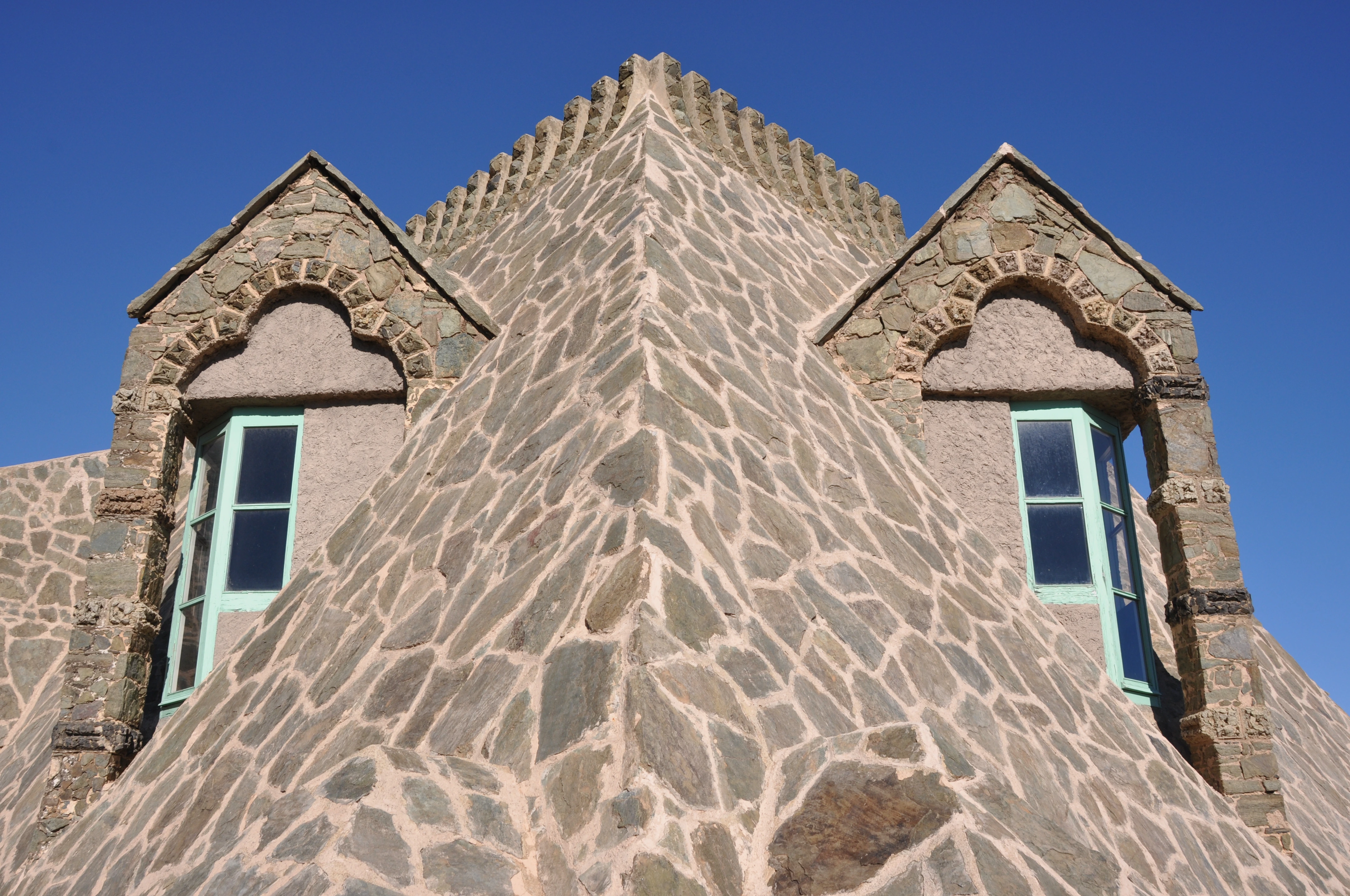
Torre Bellesguard (Casa Figueras)
Barcelona•modernism
1900 - 1909
41.4095°N, 2.1278°E

Torre Bellesguard (Casa Figueras)

Fortified neo-Gothic manor erected over the medieval castle of King Martí I

Built by Antoni Gaudí between 1900 and 1909 on the Collserola foothills over the royal palace ruins of King Martí l'Humà, the last monarch of the House of Barcelona.

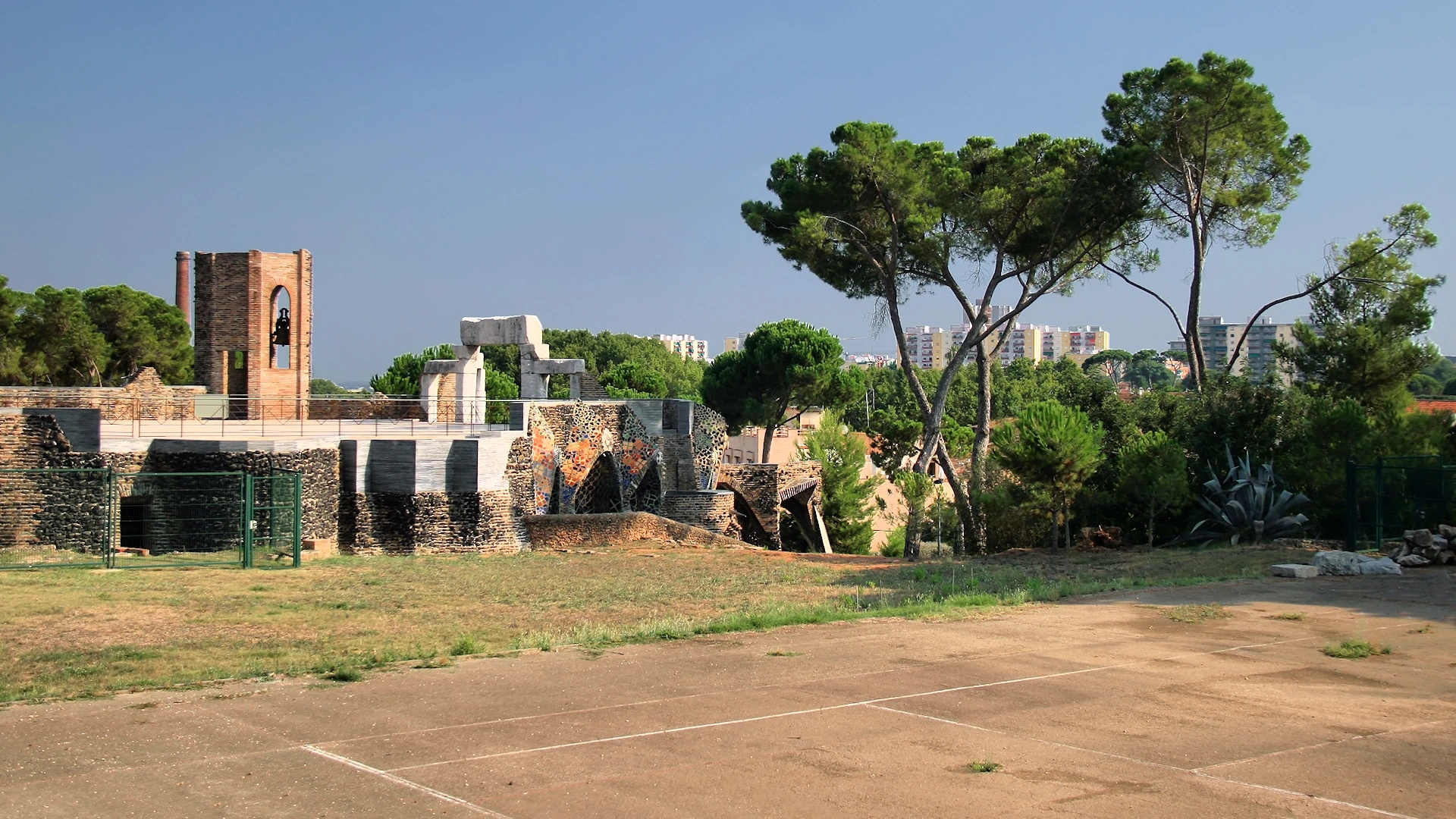
Crypt of Colònia Güell
Barcelona•modernism
1908 - 1914
41.3639°N, 2.0280°E

Crypt of Colònia Güell

Gaudí's supreme structural laboratory of catenary arches and tilted pillars

Commissioned in 1898 by Count Eusebi Güell as a workers' church for his textile colony in Santa Coloma de Cervelló. Gaudí worked on the site from 1908 until 1914, completing the lower crypt before work was halted.

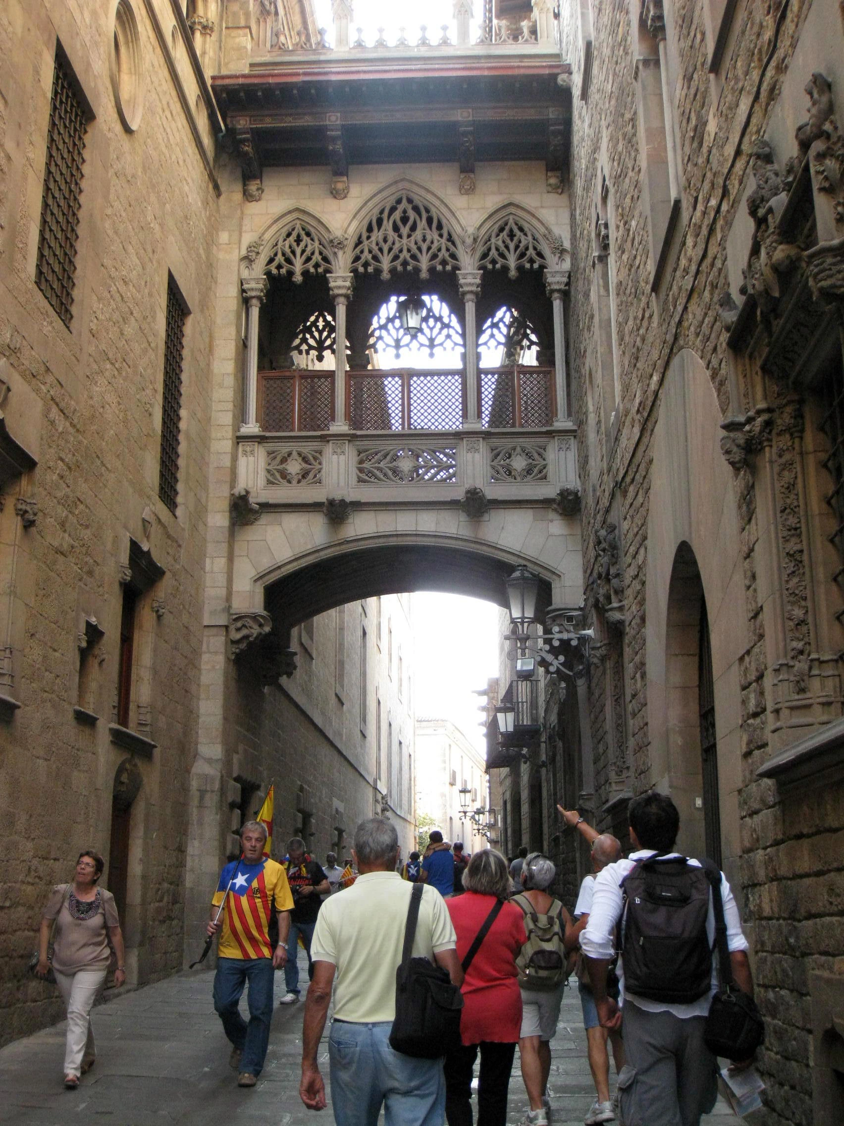
Barri Gòtic (Gothic Quarter)
Barcelona•neighborhoods
1st Century BC - Present
41.3833°N, 2.1764°E

Barri Gòtic (Gothic Quarter)

Medieval labyrinthine quarter resting upon the ancient Roman colony of Barcino

Stands upon the Roman colony of Barcino founded around 10 BC under Emperor Augustus. Rebuilt during the 13th to 15th centuries as the political and spiritual capital of the Crown of Aragon.

Las Ramblas
Barcelona•neighborhoods
18th Century - Present
41.3816°N, 2.1736°E

Las Ramblas

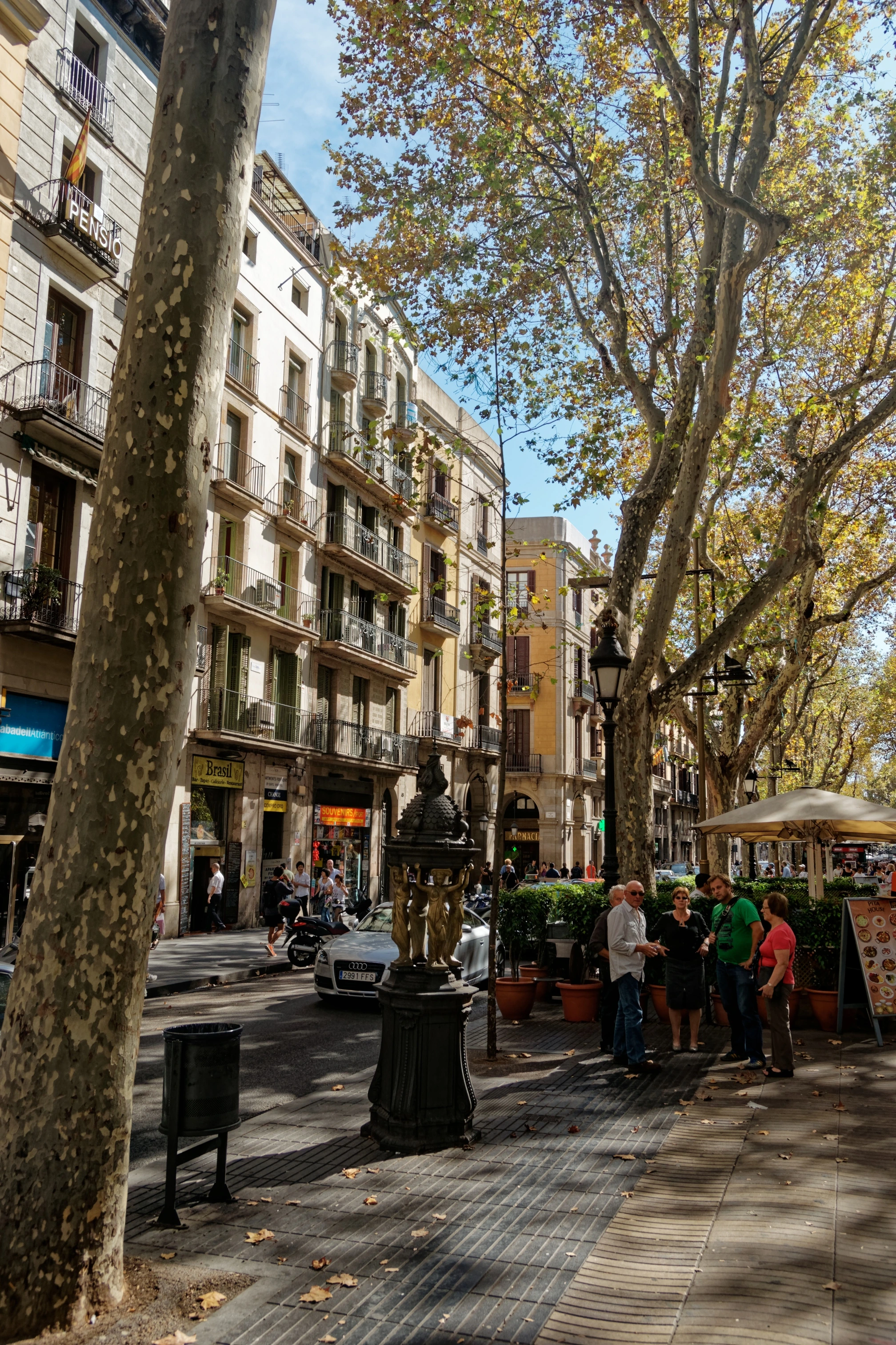
World-famous 1.2-kilometer civic promenade connecting Plaça Catalunya to the sea

Originally a seasonal rainwater torrent outside the medieval city walls ('ramla' in Arabic). Paved and lined with plane trees in the late 18th century as the western walls were demolished.

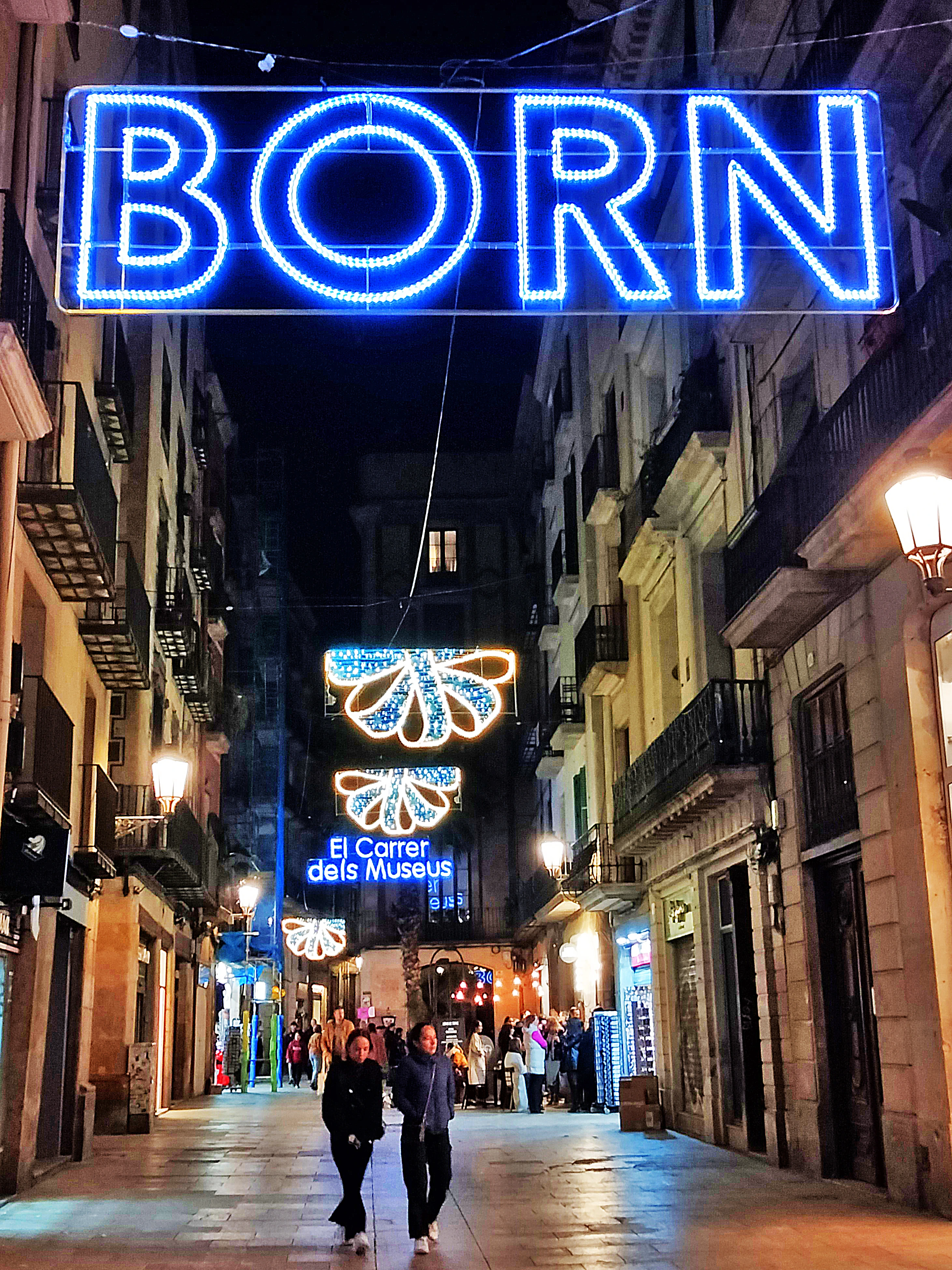
El Born (La Ribera)
Barcelona•neighborhoods
13th Century - Present
41.3853°N, 2.1822°E

El Born (La Ribera)

Historic medieval merchant quarter, fashion district, and archaeological site

Flourished in the 13th and 14th centuries as Barcelona's maritime commercial gateway. Grand Gothic palaces lined Carrer de Montcada while jousts took place on the Passeig del Born.

El Raval
Barcelona•neighborhoods
10th Century - Present
41.3800°N, 2.1690°E

El Raval

Vibrant multicultural quarter blending historic convents with avant-garde arts

Evolved from medieval agricultural lands ('rabad' in Arabic) into an enclosed 14th-century neighborhood of monastic convents, hospitals, and 19th-century textile mills.

Passeig de Gràcia
Barcelona•neighborhoods
1859 - Present
41.3927°N, 2.1642°E

Passeig de Gràcia

Aristocratic Modernista avenue featuring luxury boutiques and iconic palaces

Designed in Ildefons Cerdà's 1859 Eixample plan as the central boulevard connecting ancient Barcelona to the village of Gràcia, transformed by bourgeois industrialists in the 1900s.

Plaça de Catalunya
Barcelona•neighborhoods
1927 - Present
41.3870°N, 2.1700°E

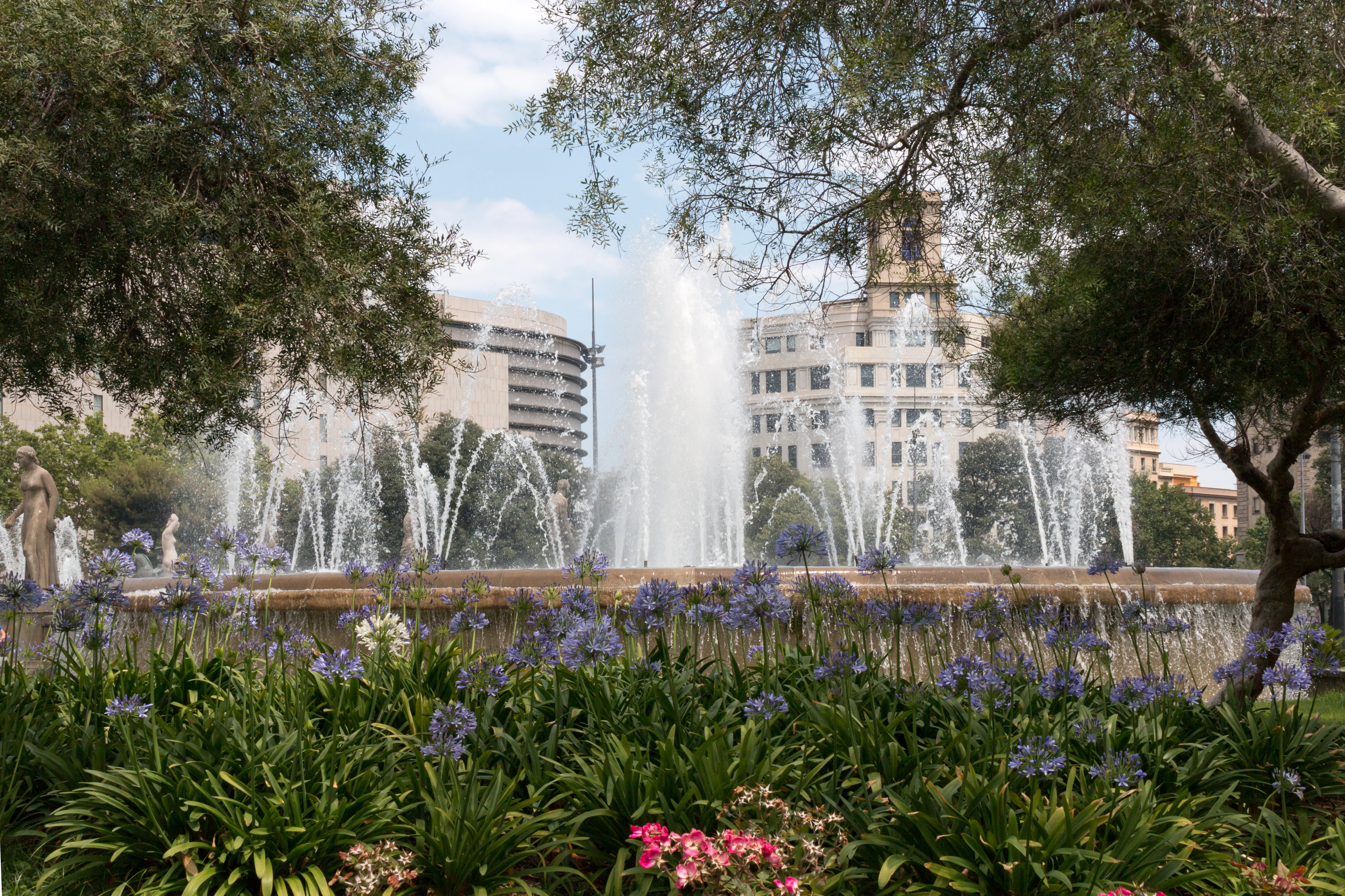
Plaça de Catalunya

The monumental central crossroads uniting the Gothic Quarter with the Eixample

Formed in the 1850s after the demolition of the medieval city walls. Formally designed by Francesc Nebot and inaugurated in 1927 for the 1929 International Exposition.

Vila de Gràcia
Barcelona•neighborhoods
17th Century - Present
41.4027°N, 2.1567°E

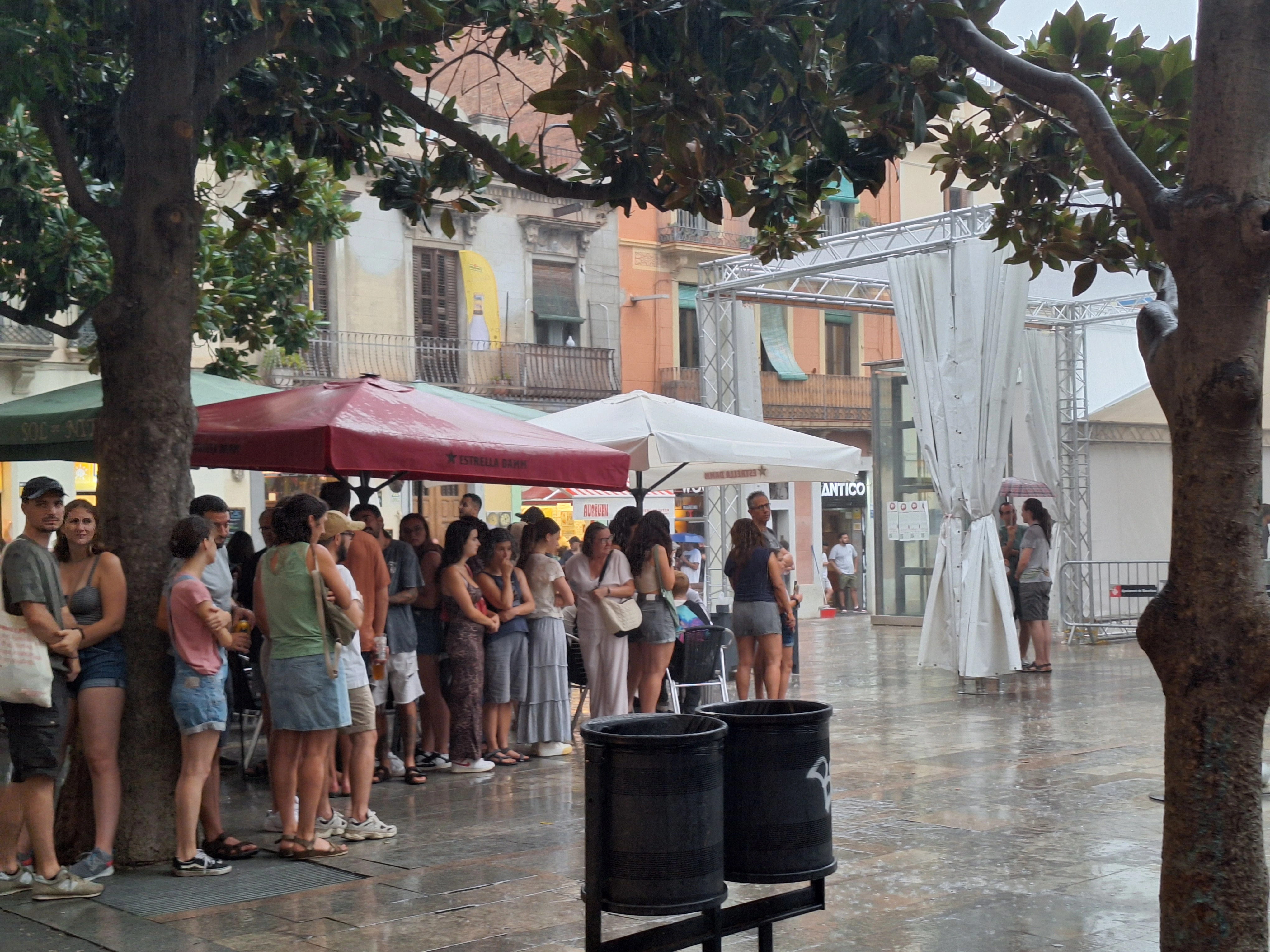
Vila de Gràcia

Bohemian village of pedestrian squares, artisan workshops, and independent spirit

An independent municipality until its annexation by Barcelona in 1897. Renowned for its community civic pride, artisan workshops, and lively cafe culture.

Sant Andreu & Fabra i Coats
Barcelona•neighborhoods
10th Century - Present
41.4357°N, 2.1911°E

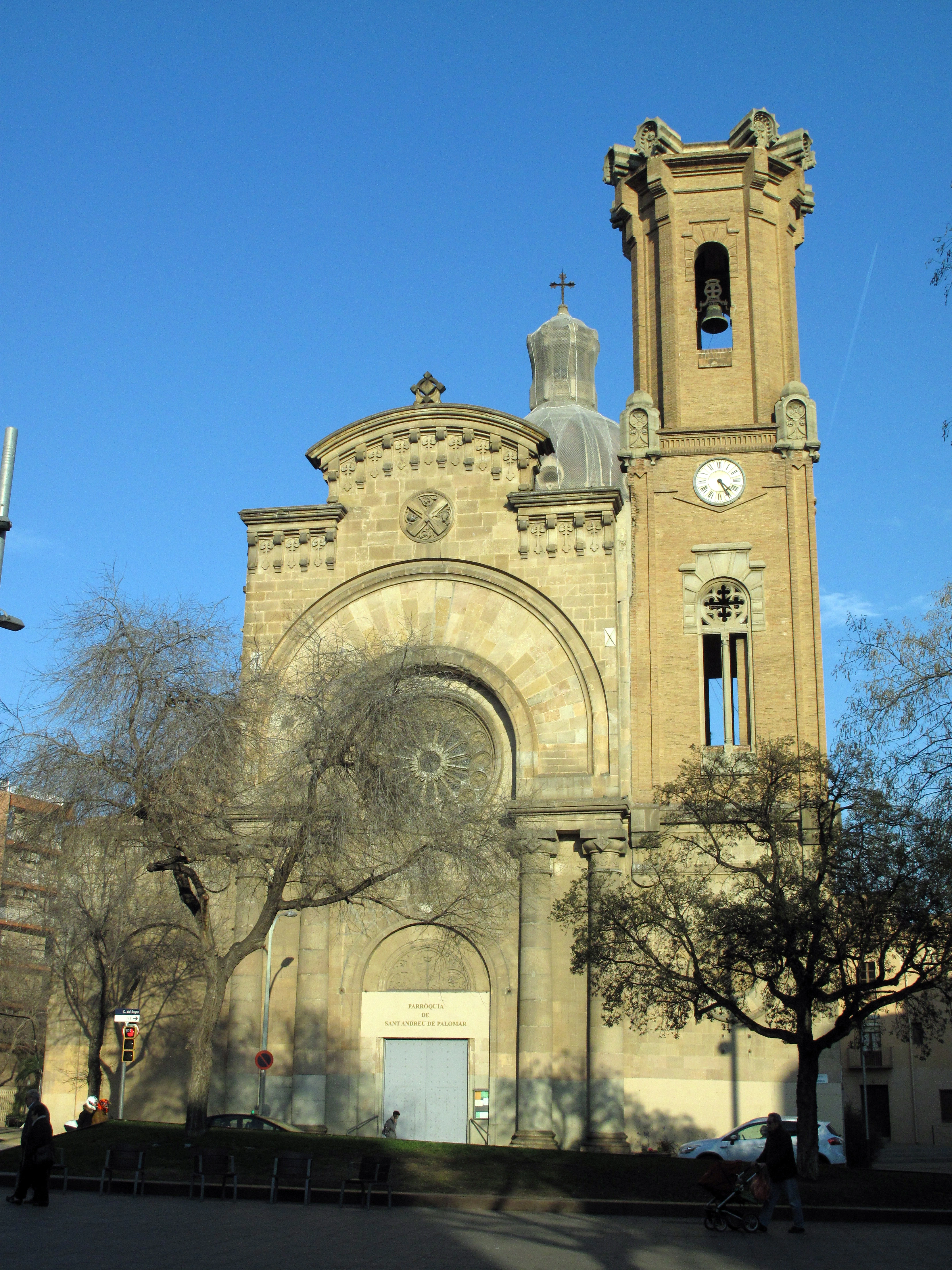
Sant Andreu & Fabra i Coats

Authentic working-class district with 19th-century textile factory arts complex

Historic village centered on the Rec Comtal water canal, transformed during the industrial revolution into a major textile powerhouse and annexed by Barcelona in 1897.

Plaça de Sant Felip Neri
Barcelona•neighborhoods
1752 - Present
41.3831°N, 2.1754°E

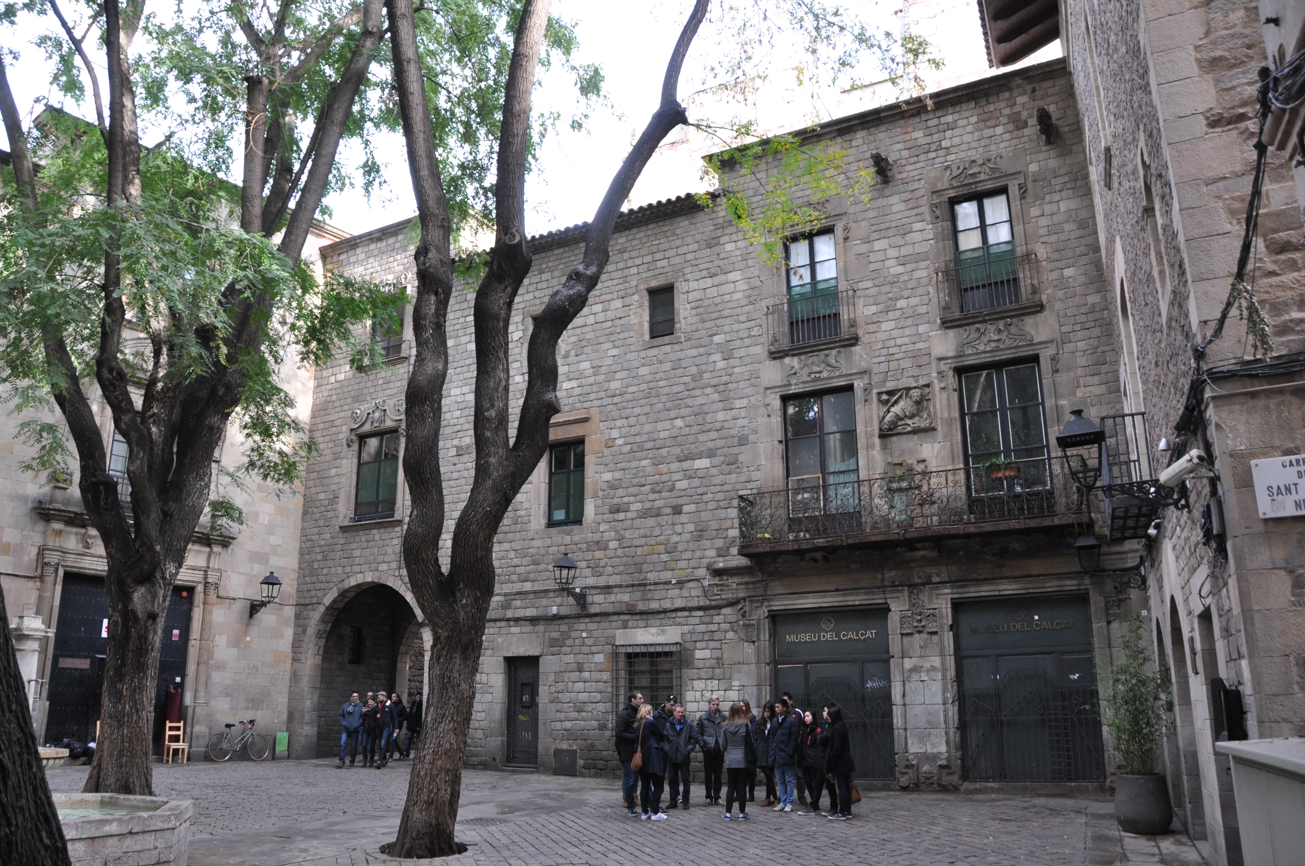
Plaça de Sant Felip Neri

Tranquil Gothic square with shrapnel scars of 1938 and a peaceful fountain

Built over a medieval cemetery behind the cathedral. In the 18th century, the baroque Church of Saint Philip Neri was erected as the Oratorian headquarters.

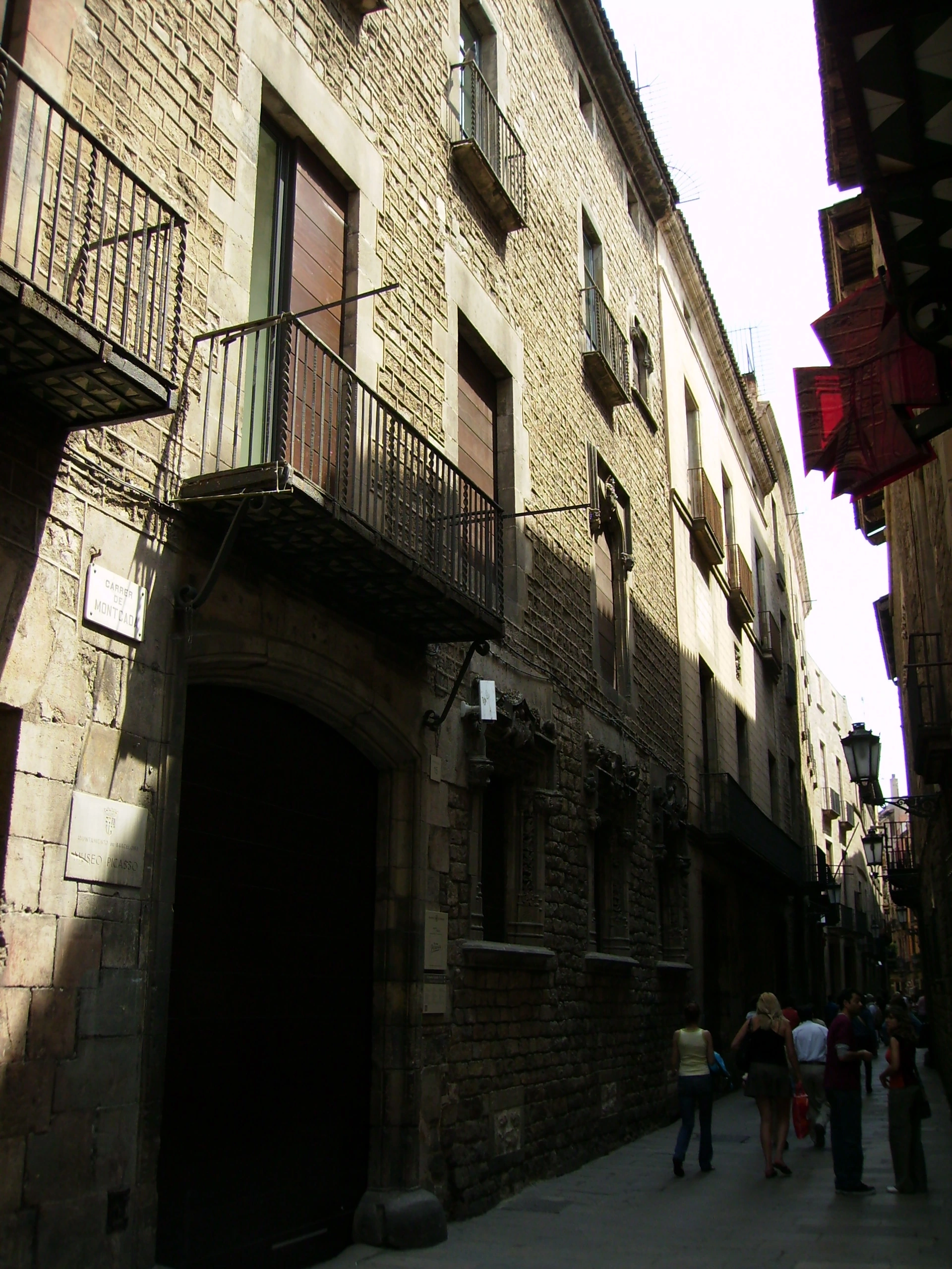
Museu Picasso
Barcelona•museums
1963 - Present
41.3853°N, 2.1810°E

Museu Picasso

World-class collection of early works and Las Meninas series in Gothic palaces

Opened in 1963 on Carrer de Montcada, this was the first museum dedicated to Picasso's work and the only one founded during his lifetime with his personal secretary Jaume Sabartés.

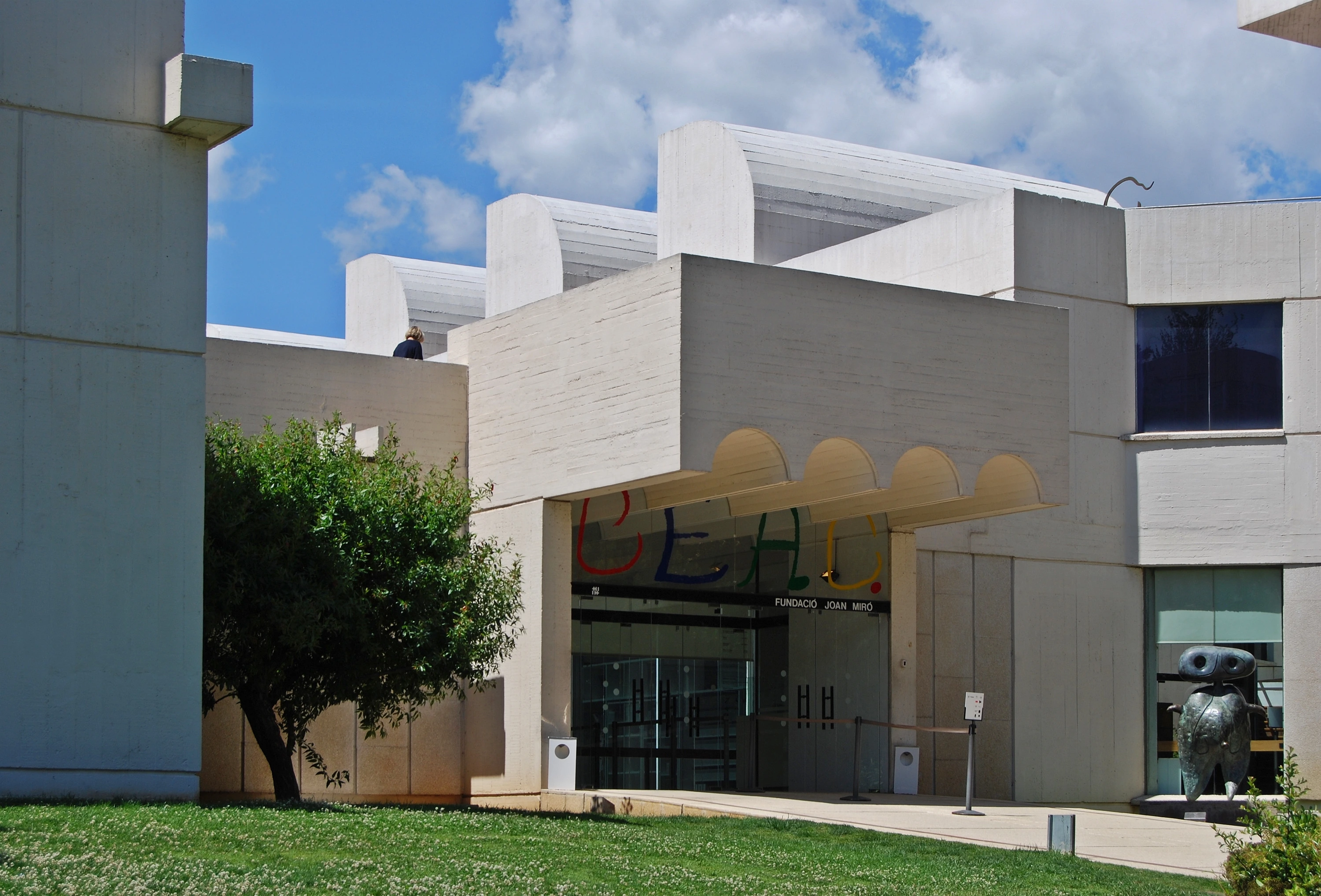
Fundació Joan Miró
Barcelona•museums
1975 - Present
41.3685°N, 2.1600°E

Fundació Joan Miró

Masterpiece of rationalist architecture showcasing Joan Miró's cosmic art

Inaugurated in 1975 on Montjuïc, founded by Joan Miró to create an international contemporary art research center and house his personal collection.

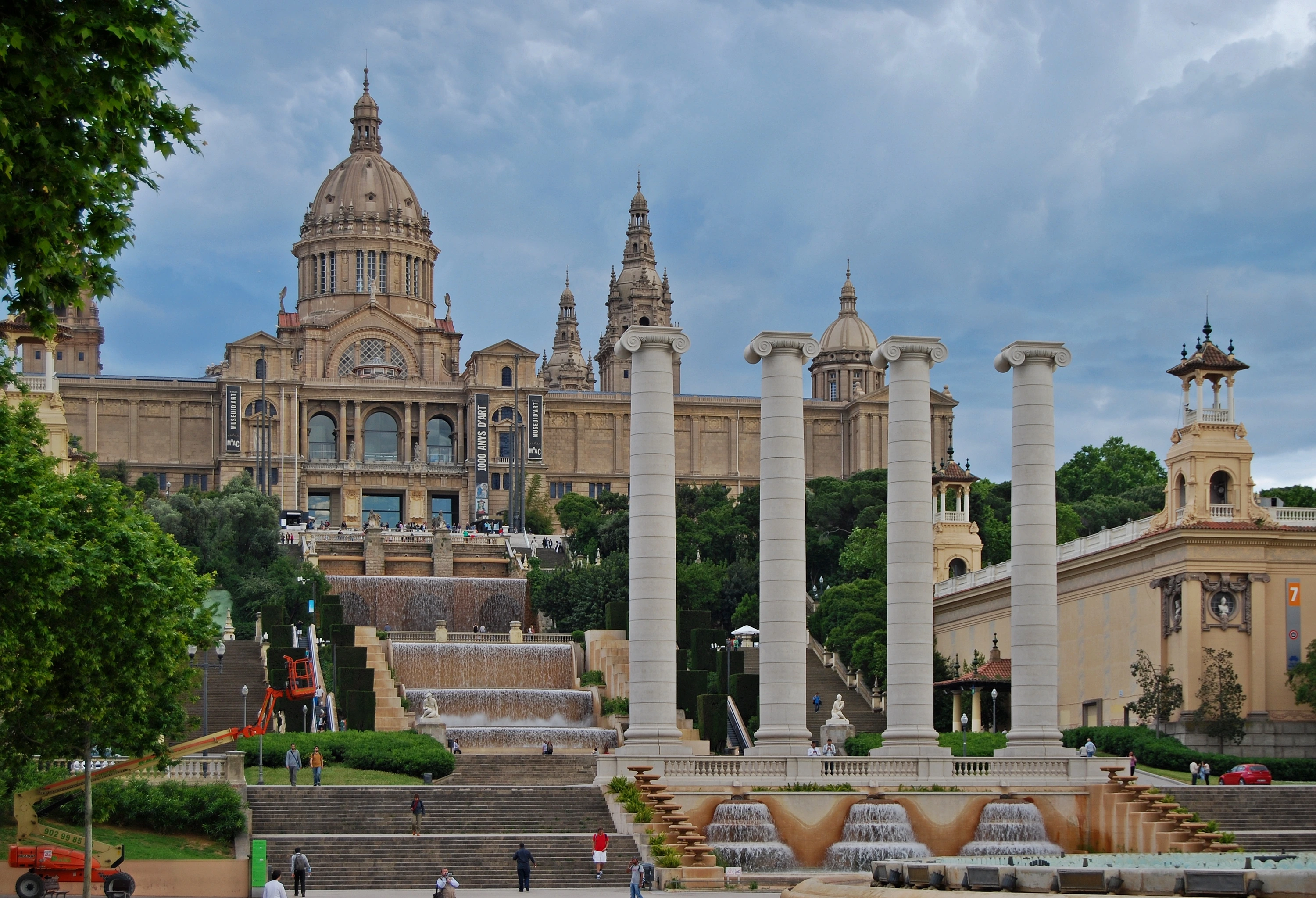
Museu Nacional d'Art de Catalunya (MNAC)
Barcelona•museums
1929 - Present
41.3688°N, 2.1537°E

Museu Nacional d'Art de Catalunya (MNAC)

Monumental Palau Nacional housing the world's finest Romanesque fresco murals

Housed in the majestic Palau Nacional built as the primary pavilion for the 1929 International Exposition, reopened after modernization by Gae Aulenti in 2004.

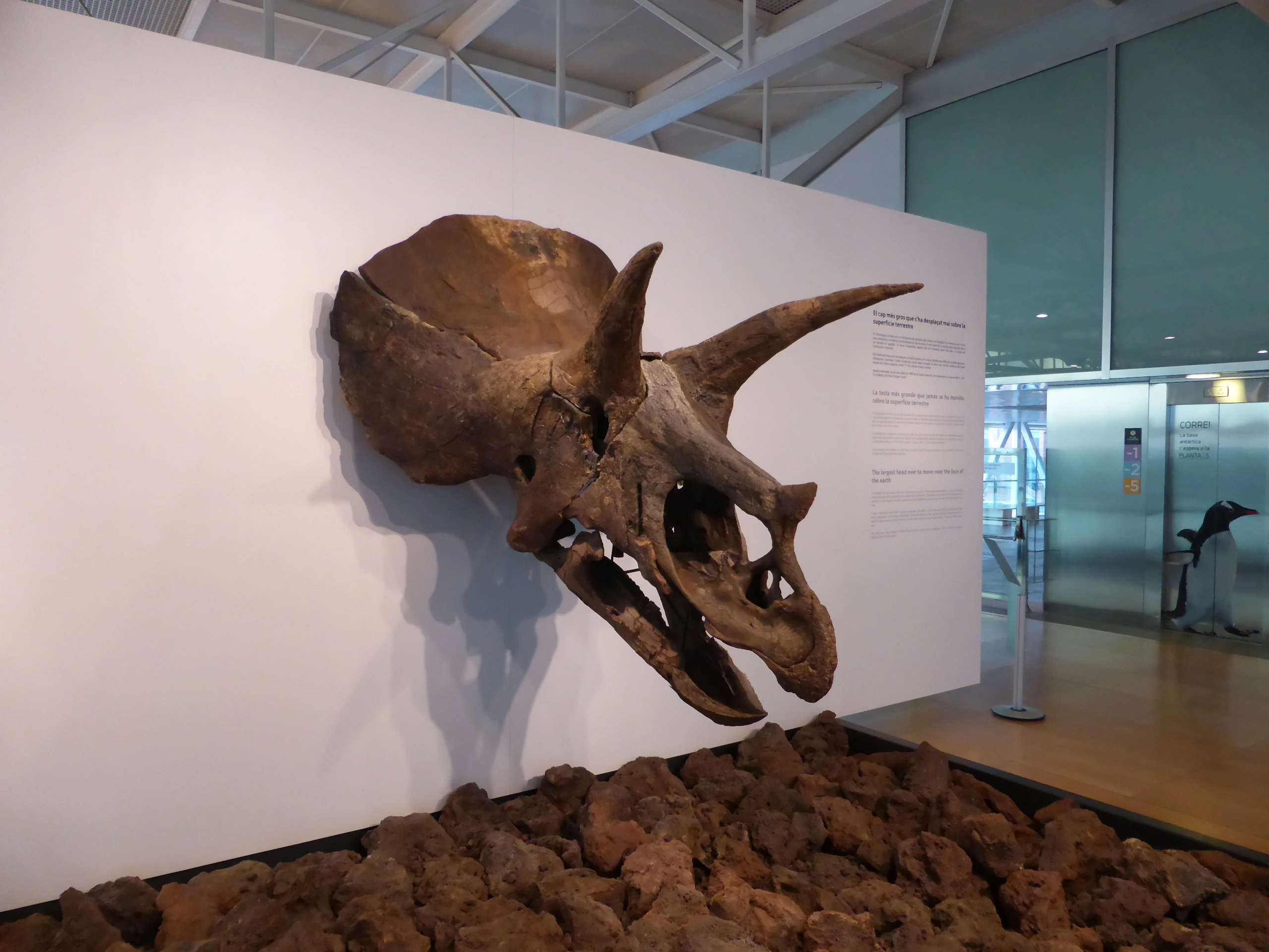
CosmoCaixa Barcelona
Barcelona•museums
2004 - Present
41.4136°N, 2.1311°E

CosmoCaixa Barcelona

Interactive science museum with a living Amazonian flooded rainforest

Originally opened in 1981 and vastly expanded in 2004, incorporating an Art Nouveau 1904 brick building designed by Josep Domènech i Estapà.

Disseny Hub Barcelona
Barcelona•museums
2014 - Present
41.4024°N, 2.1882°E

Disseny Hub Barcelona

Cantilevered architectural icon and epicenter of design, fashion, and technology

Inaugurated in 2014, designed by MBM Arquitectes (Martorell, Bohigas, Mackay) to unify the city's historical textile, ceramic, graphic, and industrial design collections.
Moco Museum Barcelona
Barcelona•museums
2021 - Present
41.3855°N, 2.1818°E

Moco Museum Barcelona

Contemporary and street art museum in a 16th-century noble palace

Opened in October 2021 inside the historic 16th-century Palacio Cervelló on Carrer de Montcada, following the international success of Moco Amsterdam.

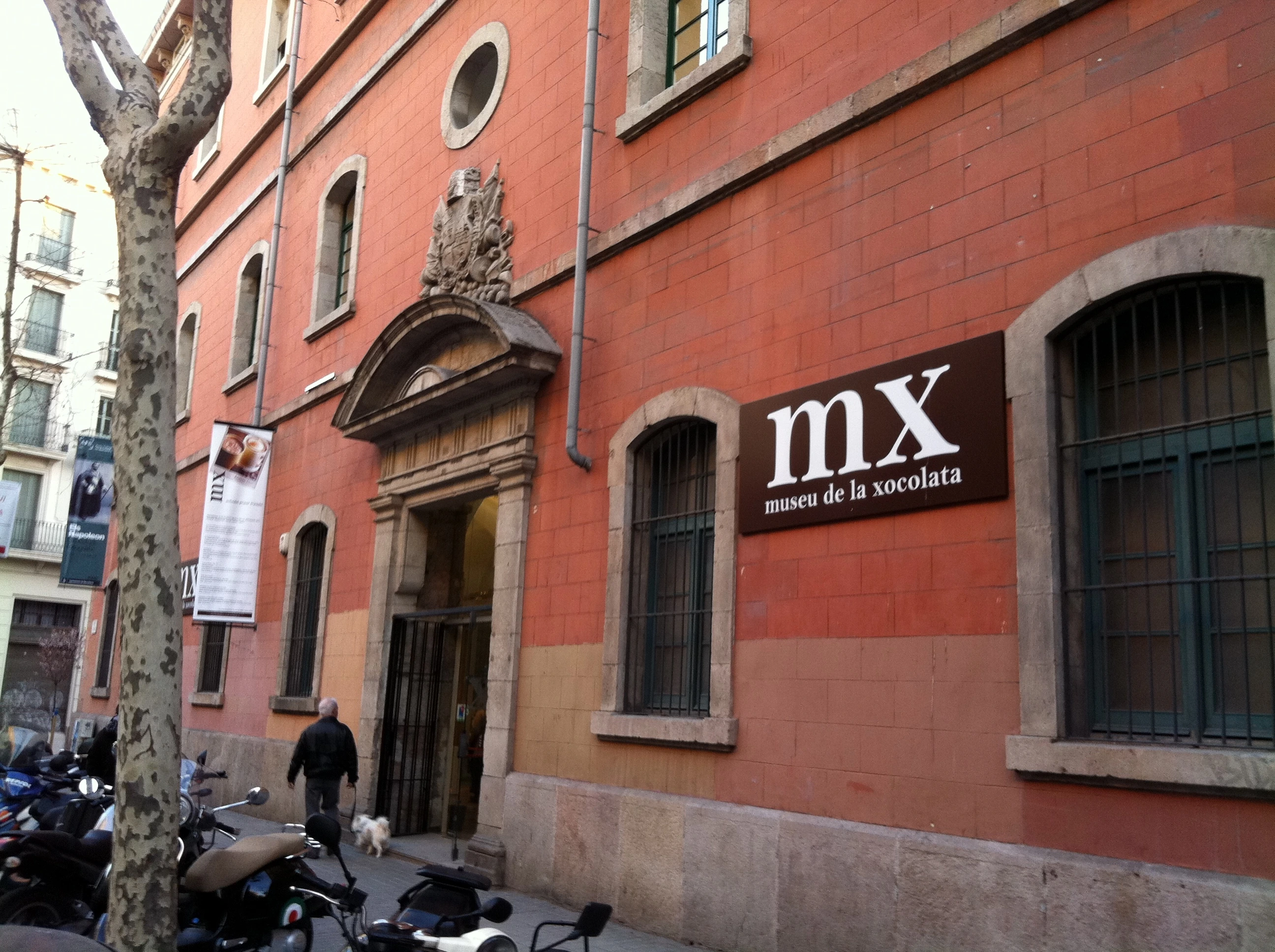
Museu de la Xocolata
Barcelona•museums
2000 - Present
41.3881°N, 2.1811°E

Museu de la Xocolata

Aromatic cultural museum tracing the history and art of cocoa in Barcelona

Founded in 2000 by the Barcelona Pastry Guild in the 14th-century Convent de Sant Agustí to commemorate Barcelona's historic role as Europe's primary port for cocoa distribution.

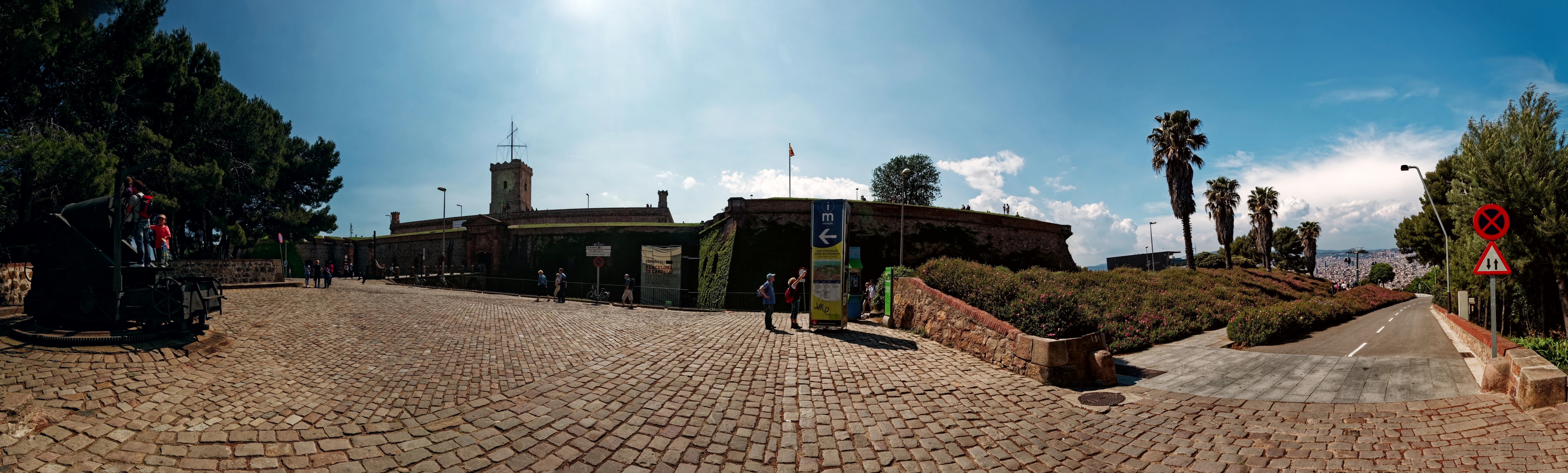
Parc de Montjuïc
Barcelona•parks
Ancient Era - Present
41.3638°N, 2.1658°E

Parc de Montjuïc

Panoramic 173-meter mountain with fortress, Olympic ring, and lush gardens

Inhabited since antiquity, Montjuïc provided the sandstone for medieval Barcelona. Transformed for the 1929 International Exposition and the 1992 Olympic Games.

Parc de la Ciutadella
Barcelona•parks
1888 - Present
41.3882°N, 2.1873°E

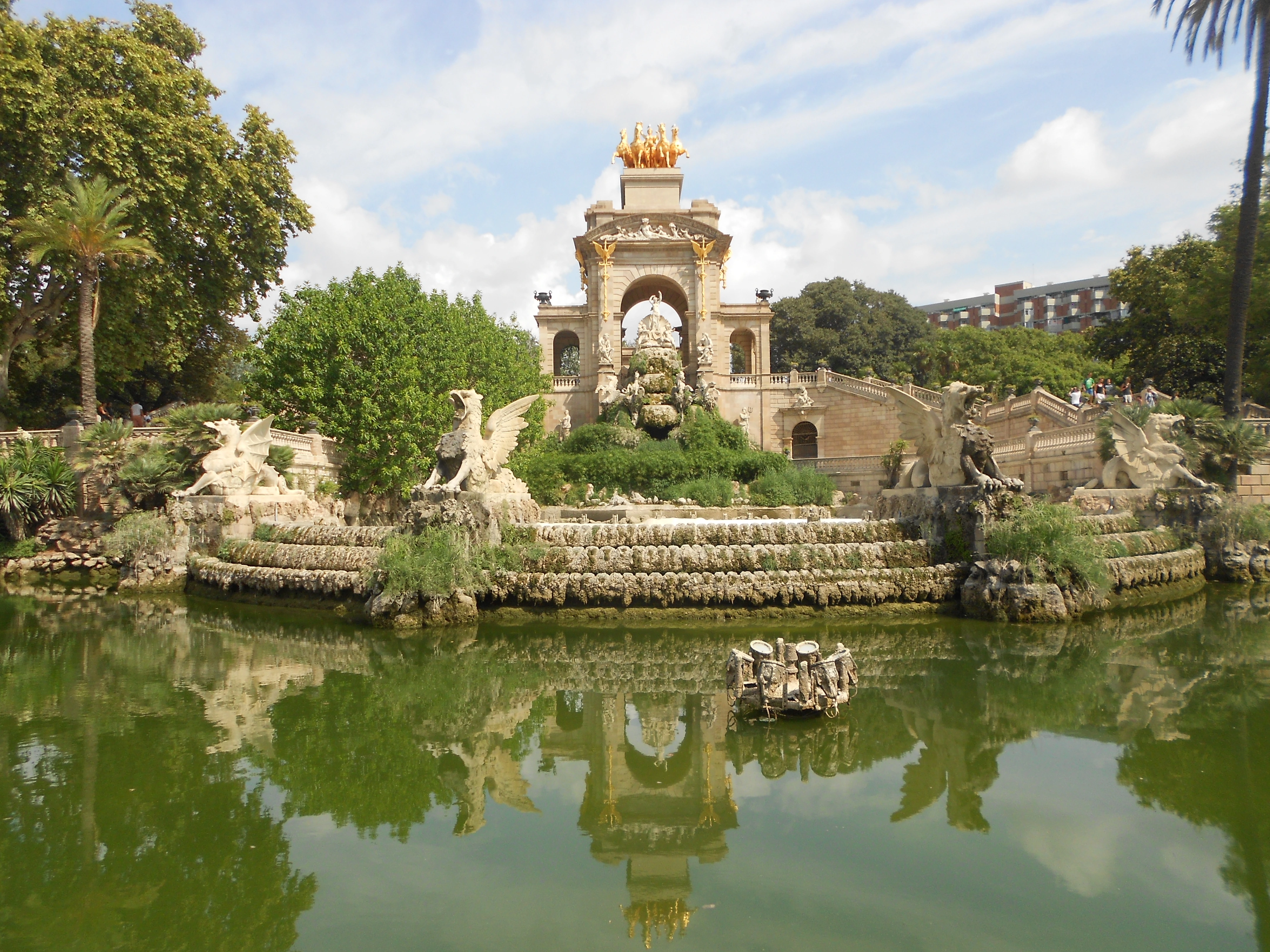
Parc de la Ciutadella

Lush 17-hectare central park featuring a monumental fountain co-designed by Gaudí

Built over the demolished 18th-century military citadel of Philip V, designed by Josep Fontserè for the 1888 Universal Exposition.

Summit of Mount Tibidabo
Barcelona•parks
1901 - 1961
41.4225°N, 2.1186°E

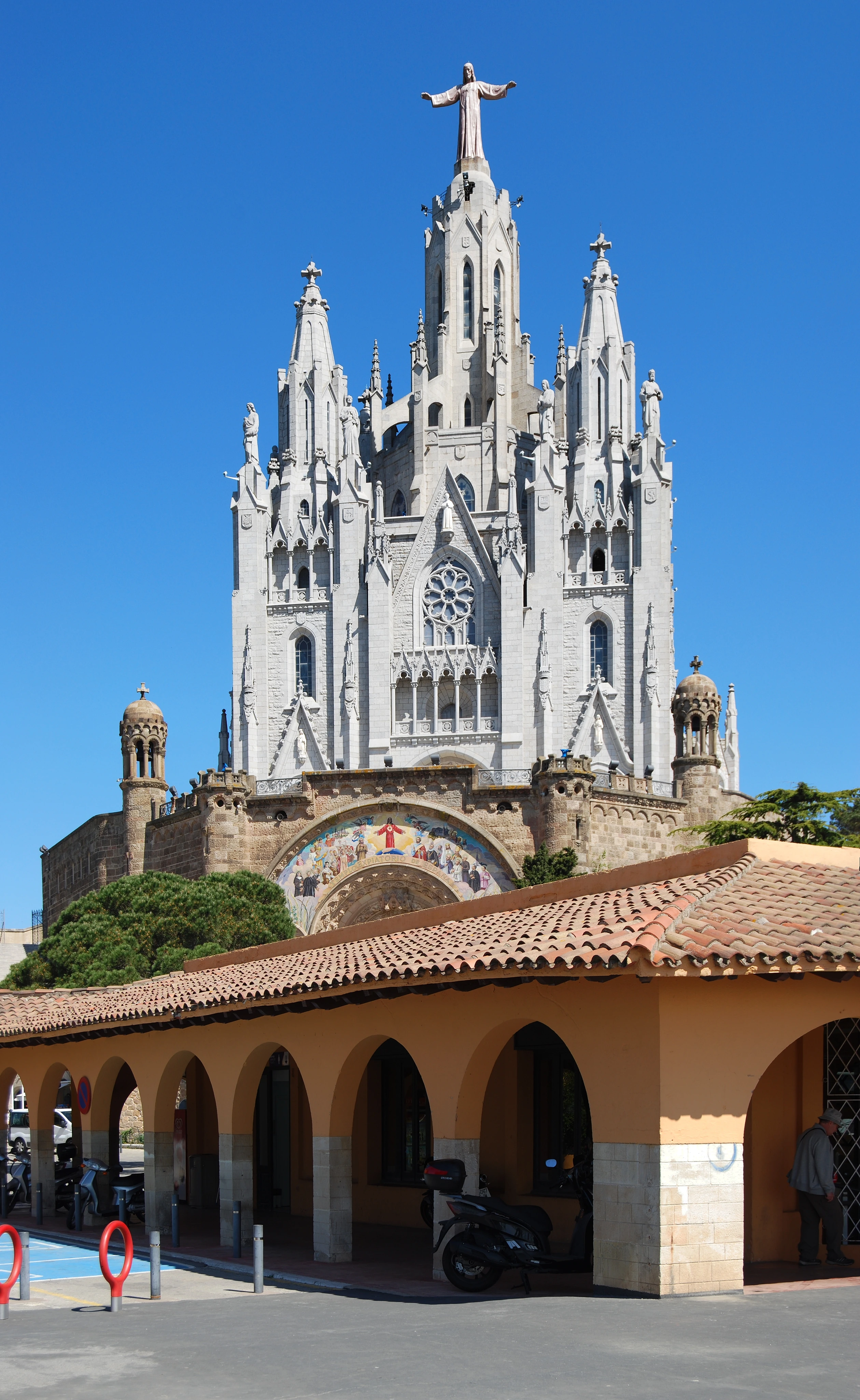
Summit of Mount Tibidabo

Highest peak of Collserola (512m) with the Sacred Heart Basilica and vintage park

Named from the Latin 'Tibi dabo' ('To thee I will give'). Urbanized in 1901 by Salvador Andreu with one of the world's oldest operating vintage amusement parks.

Parc del Laberint d'Horta
Barcelona•parks
1791 - Present
41.4402°N, 2.1469°E

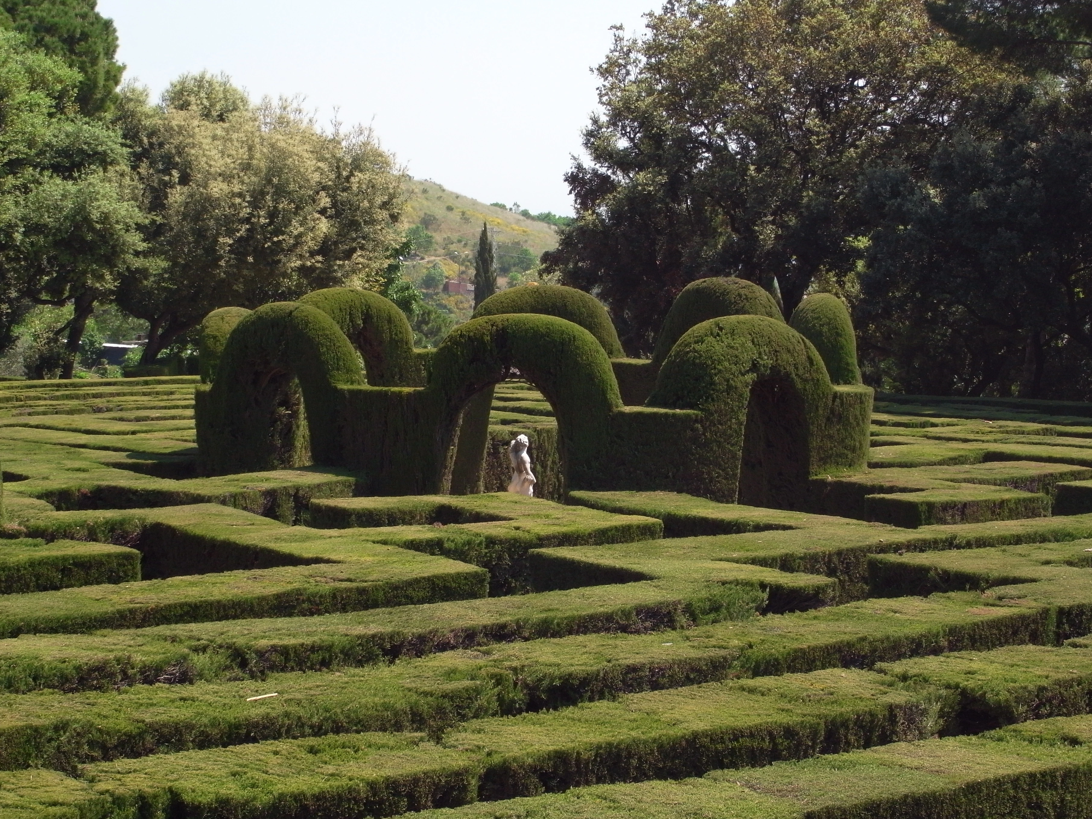
Parc del Laberint d'Horta

Barcelona's oldest historical garden with an allegorical cypress maze

Begun in 1791 by Joan Antoni Desvalls, Marquess of Llupià, designed with Italian architect Domenico Bagutti. Opened to the public in 1971.

Búnquers del Carmel (Turó de la Rovira)
Barcelona•parks
1937 - Present
41.4194°N, 2.1616°E

Búnquers del Carmel (Turó de la Rovira)

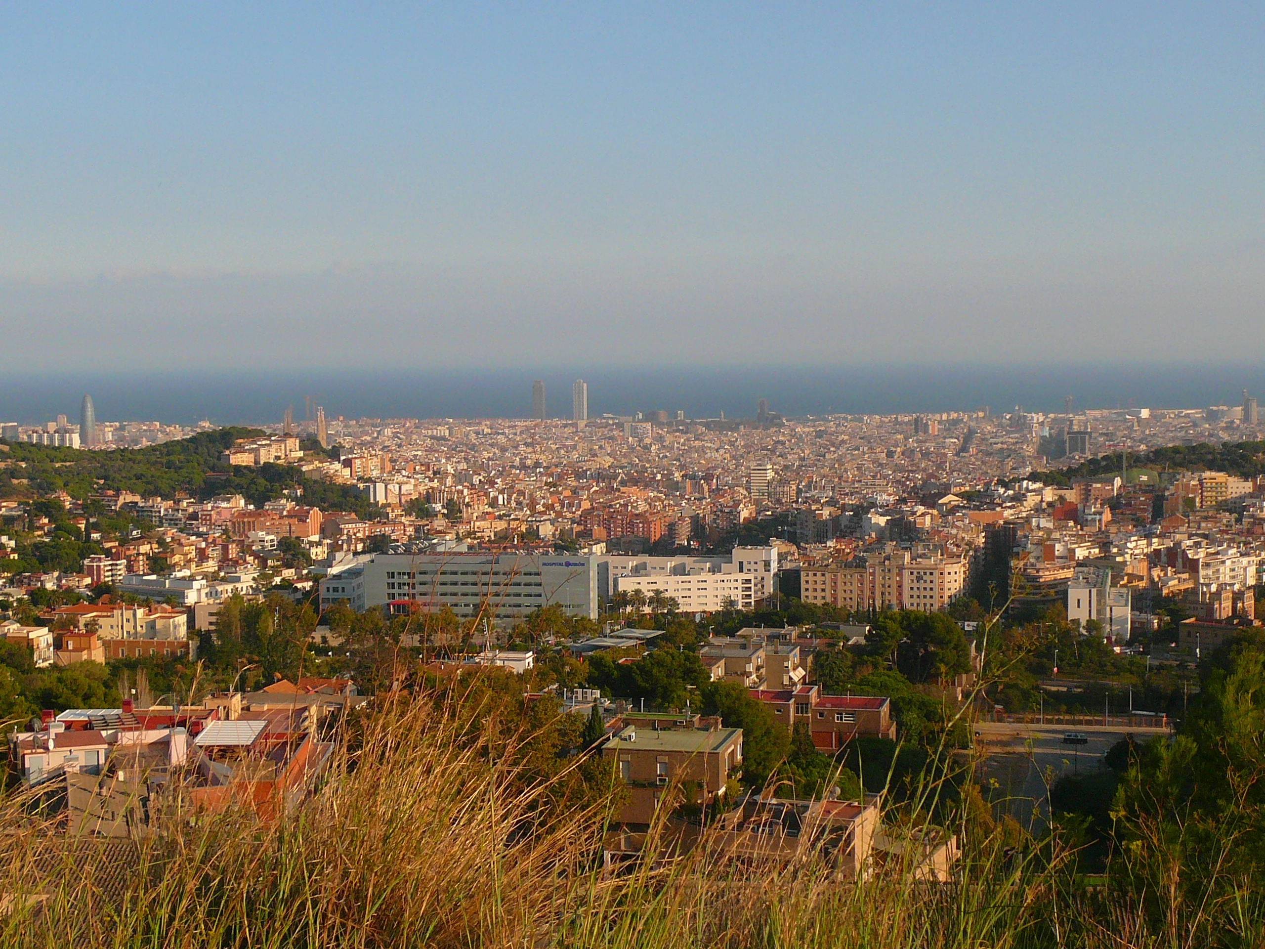
1937 anti-aircraft fortification offering an unobstructed 360-degree city panorama

Constructed in 1937 during the Spanish Civil War at an elevation of 262 meters to mount 105mm Vickers anti-aircraft cannons against fascist aviation.

Jardins de Laribal & Font del Gat
Barcelona•parks
1922 - Present
41.3692°N, 2.1558°E

Jardins de Laribal & Font del Gat

Terraced Mediterranean water garden with fountains inspired by the Alhambra

Created between 1917 and 1922 for the 1929 International Exposition by French landscape master Forestier and Catalan urbanist Rubió i Tudurí.

Jardins de la Tamarita
Barcelona•parks
1918 - Present
41.4089°N, 2.1378°E

Jardins de la Tamarita

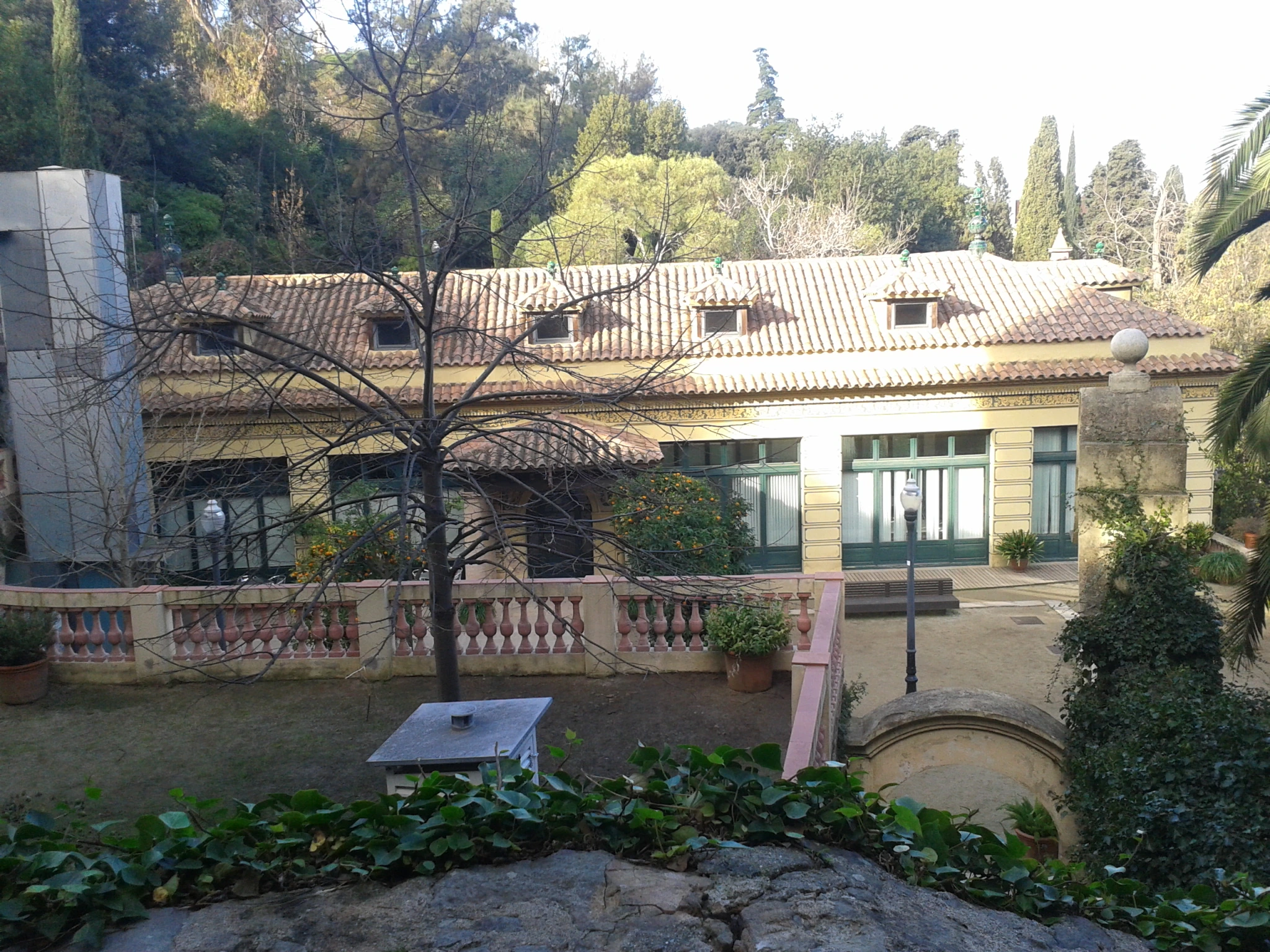
Secluded aristocratic garden estate with century-old trees and classical statues

Originally an 18th-century Craywinckel family estate, acquired by industrialist Alfredo Mata and landscaped in 1918 by Nicolau Maria Rubió i Tudurí.

Carretera de les Aigües
Barcelona•parks
19th Century - Present
41.4178°N, 2.1067°E

Carretera de les Aigües

Scenic 10-kilometer flat ridge balcony across Collserola overlooking the city

Constructed in the late 19th century as a service road for the municipal water pipeline that carried drinking water across the mountains.

Jardins de Mossèn Costa i Llobera
Barcelona•parks
1970 - Present
41.3683°N, 2.1728°E

Jardins de Mossèn Costa i Llobera

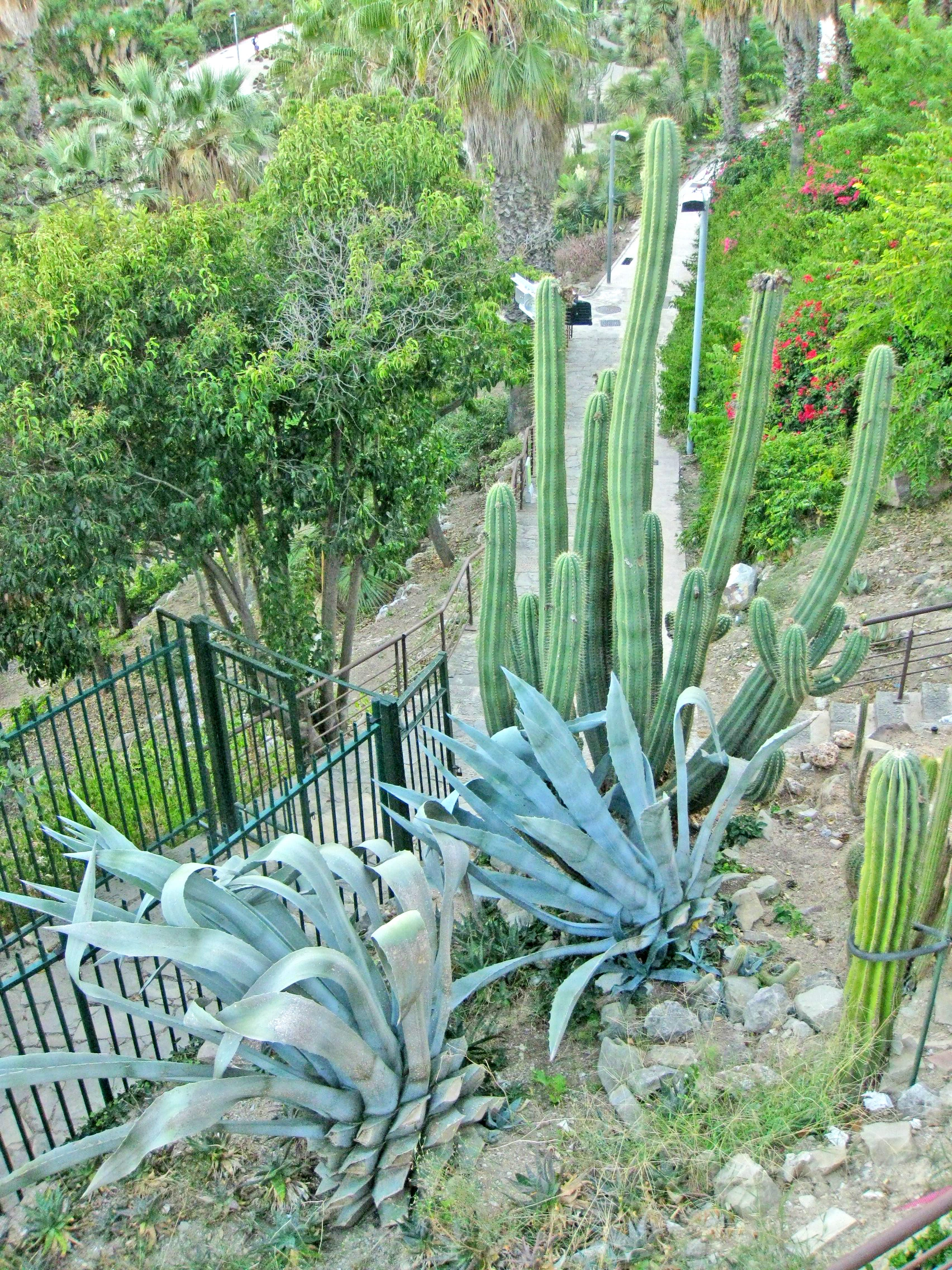
World-renowned botanical cliffside garden with 800+ species of desert cacti

Created in 1970 under landscape architect Joaquim Casamor and botanist Joan Pañella, named after Majorcan poet Miquel Costa i Llobera.

Cathedral of the Holy Cross & Saint Eulalia
Barcelona•monuments
1298 - 1913
41.3839°N, 2.1762°E

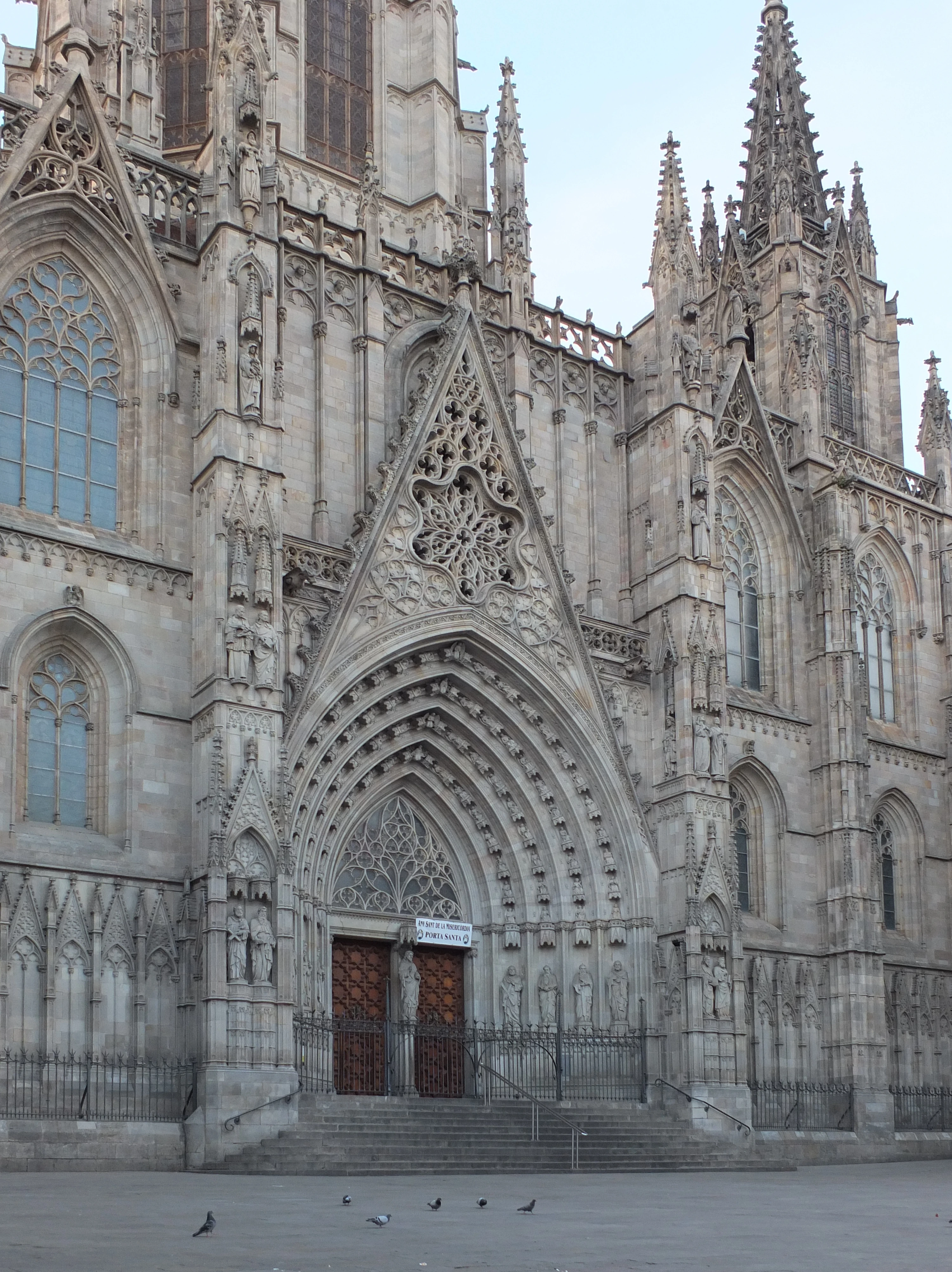
Cathedral of the Holy Cross & Saint Eulalia

Catalan Gothic mother cathedral with 13 white geese in its historic cloister

Construction began in 1298 under King Jaume II atop a 4th-century Roman paleochristian basilica. The neo-Gothic facade was completed in 1913 from 15th-century plans.

Basílica de Santa Maria del Mar
Barcelona•monuments
1329 - 1383
41.3835°N, 2.1820°E

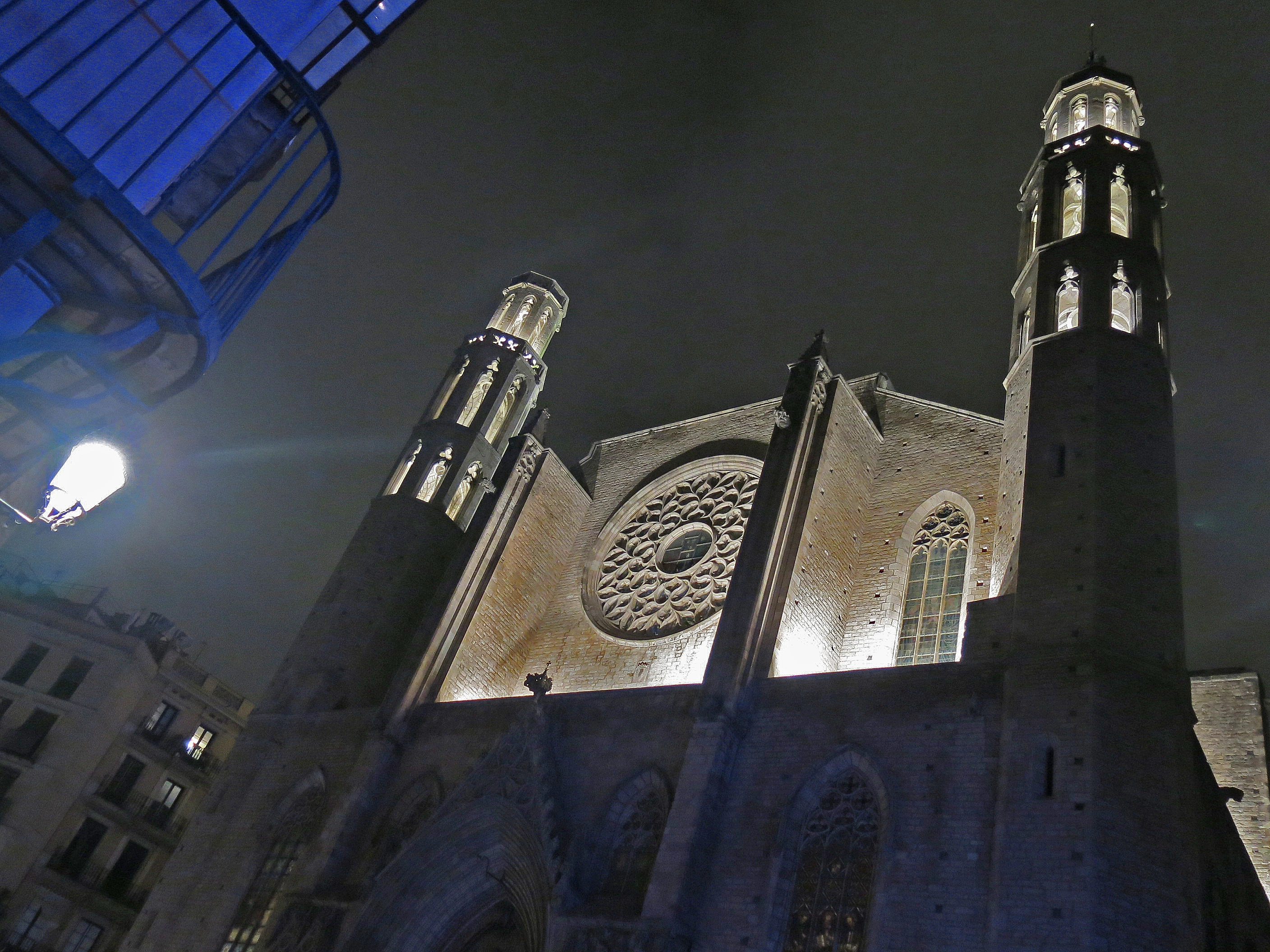
Basílica de Santa Maria del Mar

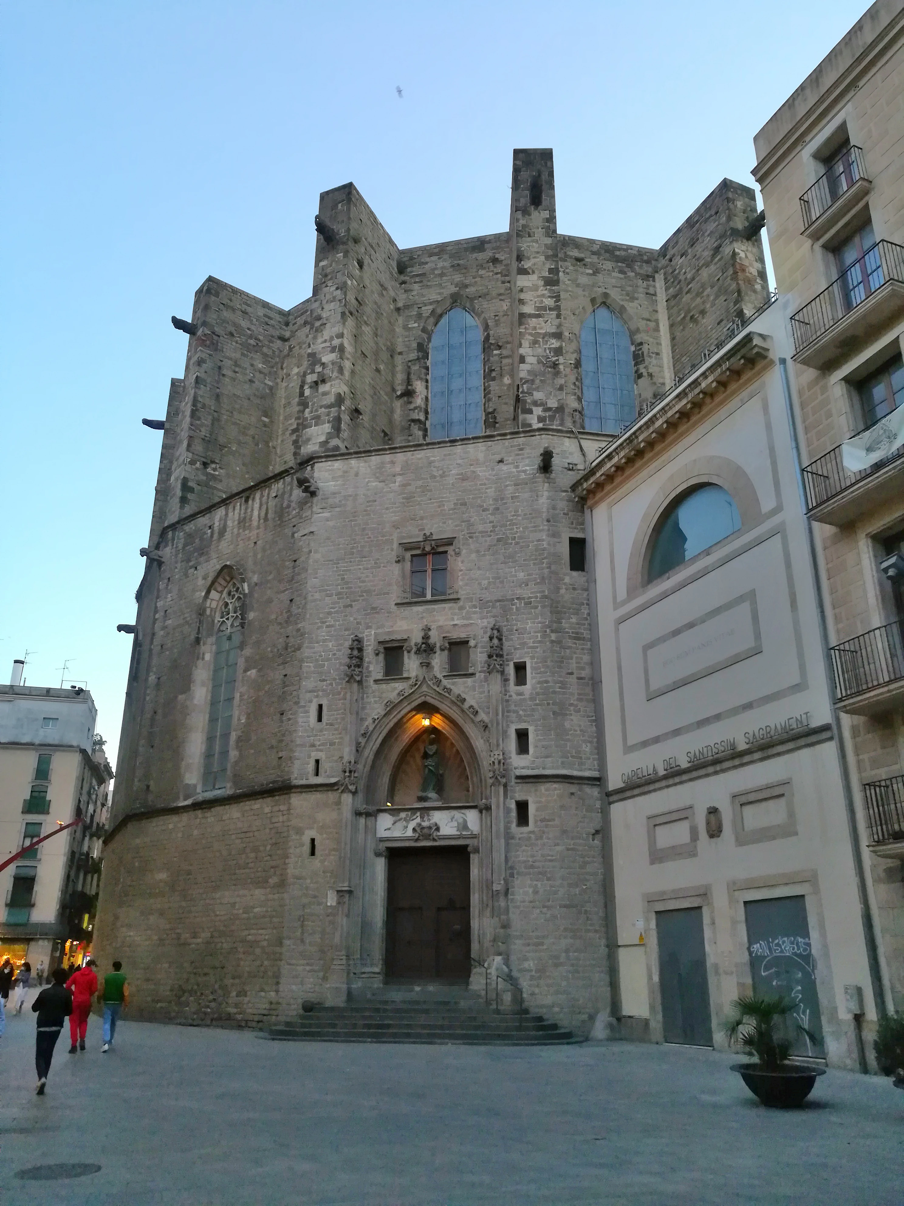
Purest Catalan Gothic basilica built by the maritime dockworkers (Bastaixos)

Constructed between 1329 and 1383 by architects Berenguer de Montagut and Ramon Despuig, funded entirely by maritime dockworkers and guild merchants.

Reial Monestir de Santa Maria de Pedralbes
Barcelona•monuments
1327 - Present
41.3956°N, 2.1133°E

Reial Monestir de Santa Maria de Pedralbes

Tranquil 14th-century monastery with the world's largest three-story Gothic cloister

Founded in 1327 by Queen Elisenda de Montcada for the Poor Clare cloistered nuns, who inhabited the monastery continuously for nearly 700 years until 1983.

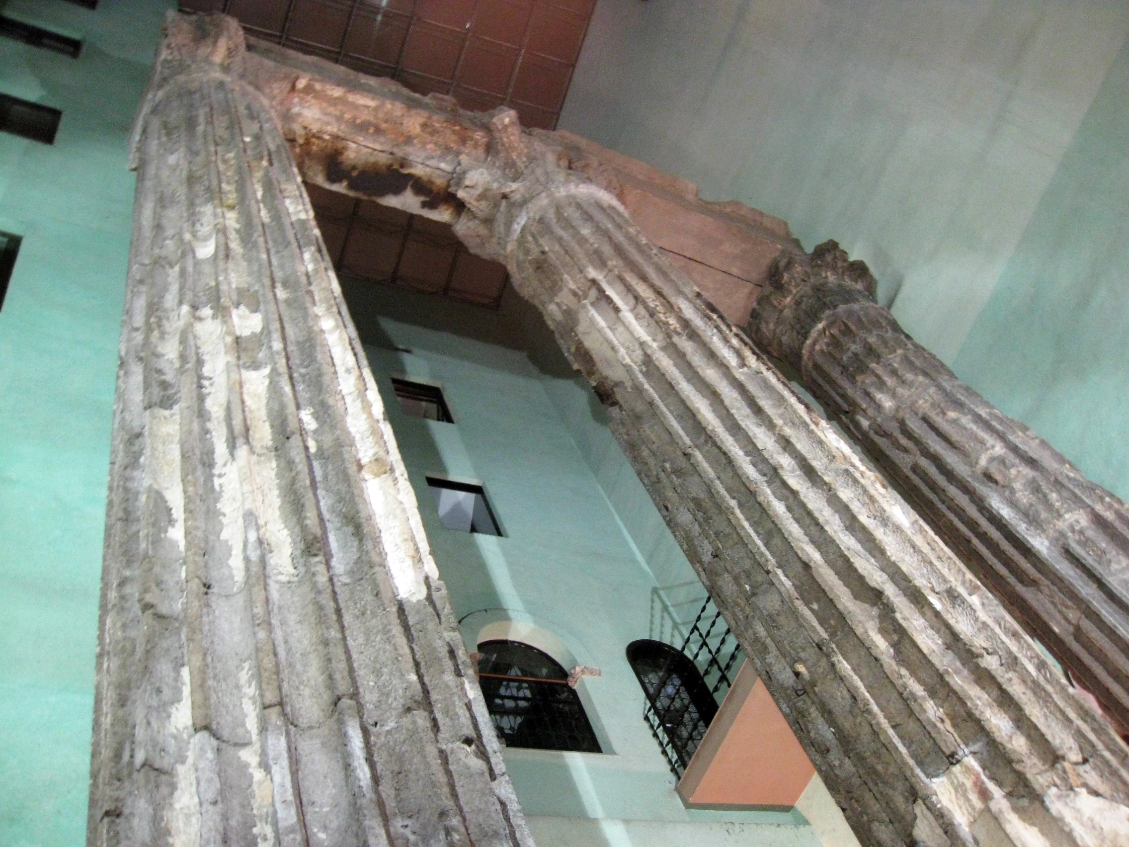
Temple d'August (Mons Tàber)
Barcelona•monuments
1st Century BC
41.3837°N, 2.1773°E

Temple d'August (Mons Tàber)

Four intact 9-meter Corinthian columns of the 2,000-year-old Roman forum

Built in the 1st century BC during Emperor Augustus's reign as the central hexastyle temple of the Roman colony of Barcino, rediscovered in the 19th century.

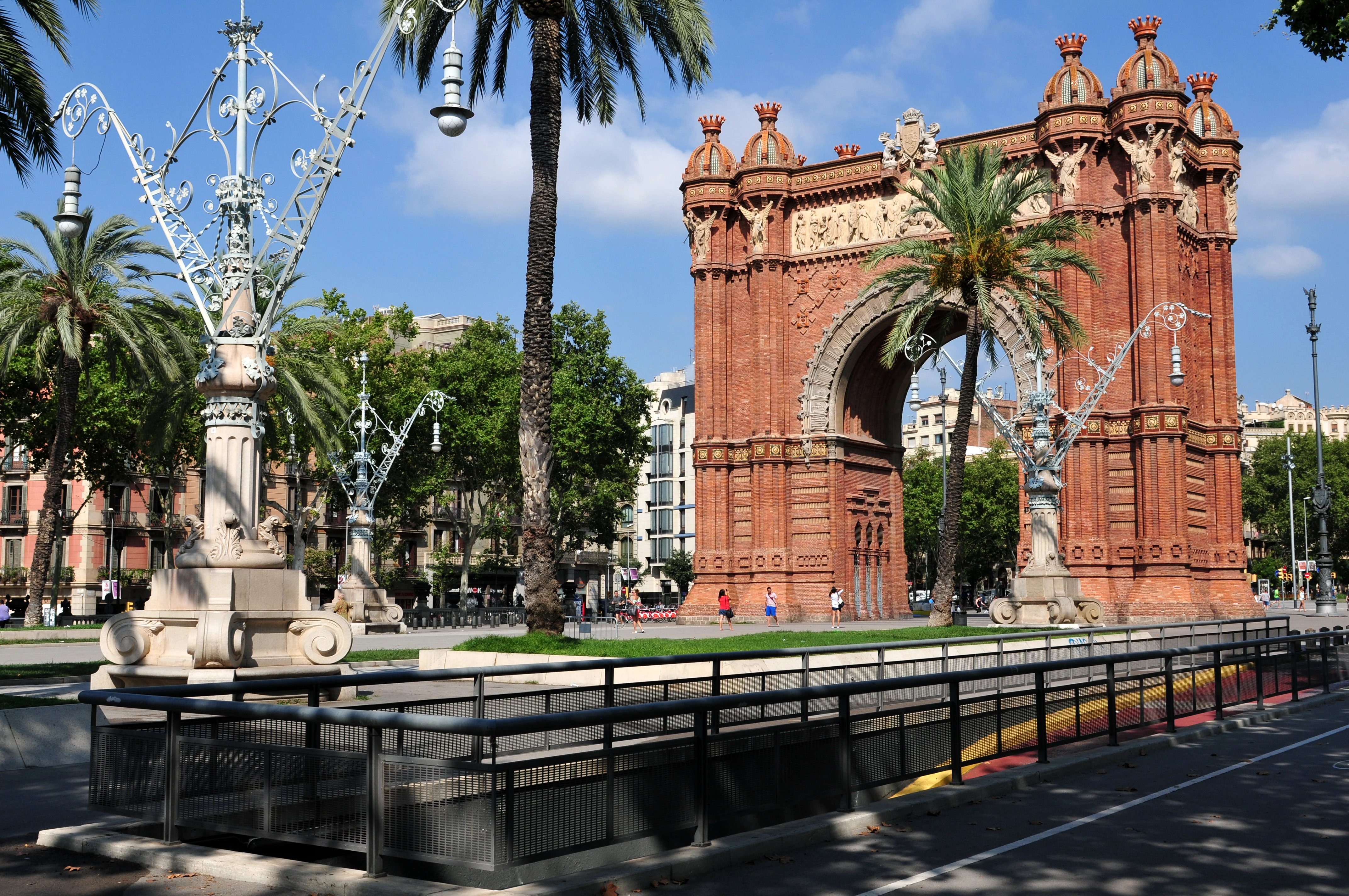
Arc de Triomf
Barcelona•monuments
1888
41.3911°N, 2.1806°E

Arc de Triomf

Monumental Neo-Mudéjar red-brick gateway to the 1888 Universal Exposition

Designed by Josep Vilaseca i Casanovas and completed in 1888 as the main entrance to Spain's first world's fair in the Parc de la Ciutadella.

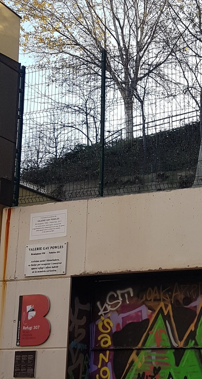
Refugi 307
Barcelona•monuments
1937 - 1938
41.3734°N, 2.1678°E

Refugi 307

Underground Civil War air-raid shelter excavated by citizens into Montjuïc

Excavated by hand by Poble-sec neighborhood residents between 1937 and 1938 to protect civilians from systematic fascist aerial bombings.

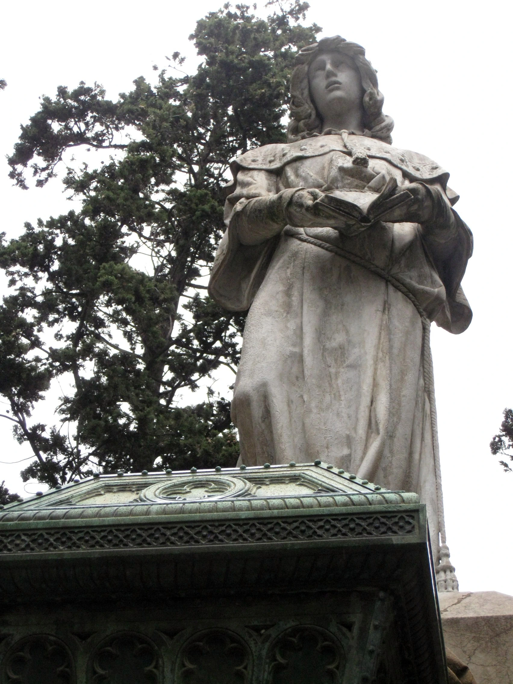
Historic Cemeteries of Montjuïc & Poblenou
Barcelona•monuments
1775 - 1930
41.3556°N, 2.1528°E

Historic Cemeteries of Montjuïc & Poblenou

Open-air funerary pantheons featuring 'The Kiss of Death' sculpture

Poblenou was founded in 1775 as Barcelona's first cemetery outside the walls; Montjuïc was opened in 1883 across 56 hectares of cascading hillside terraces.

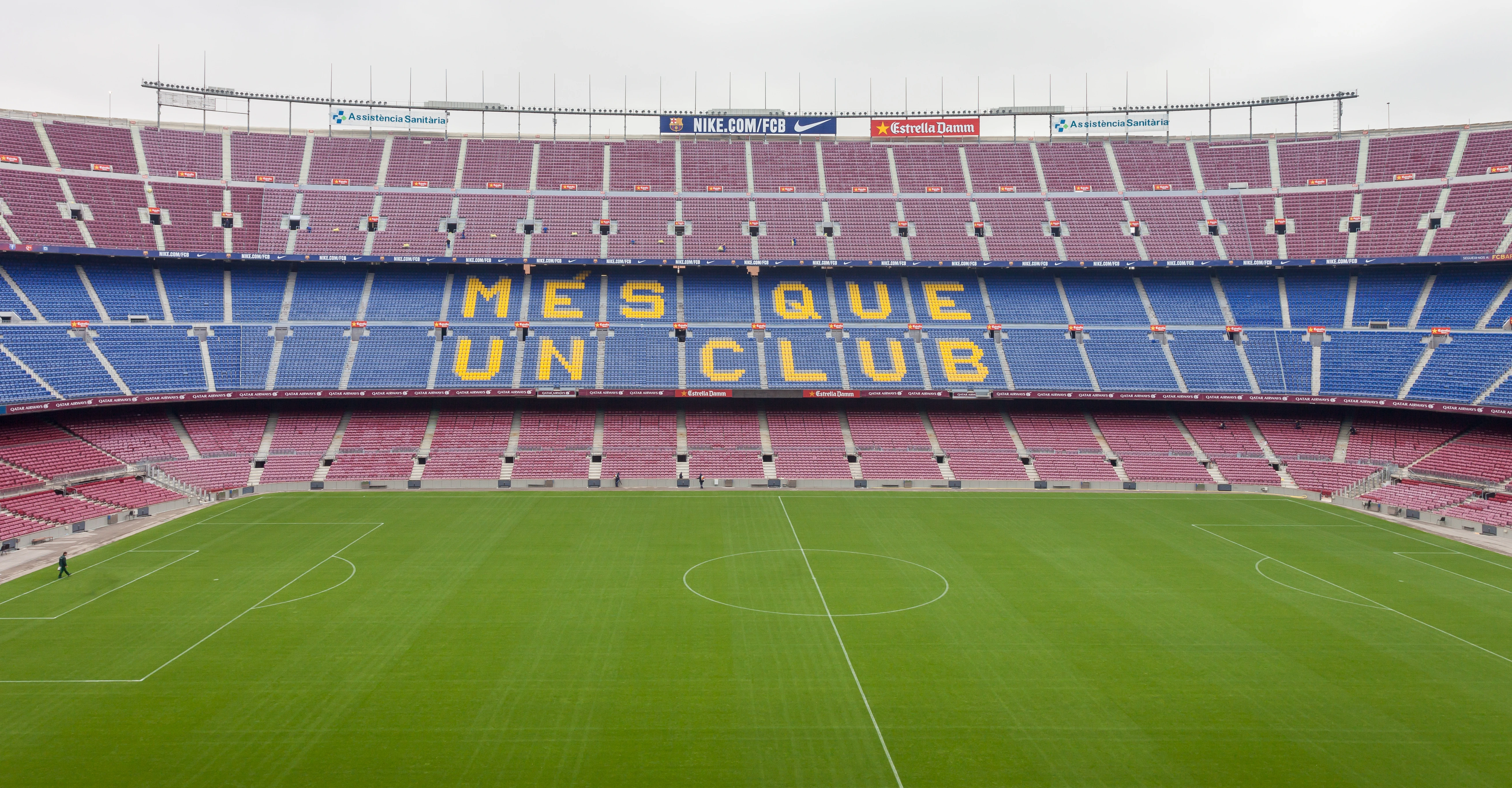
Spotify Camp Nou & FCB Museum
Barcelona•leisure
1957 - Present
41.3809°N, 2.1228°E

Spotify Camp Nou & FCB Museum

Europe's largest football coliseum and sporting cathedral of Catalan identity

Inaugurated on September 24, 1957 (feast of La Mercè), designed by architects Francesc Mitjans and Josep Soteras to replace the outgrown Camp de Les Corts.

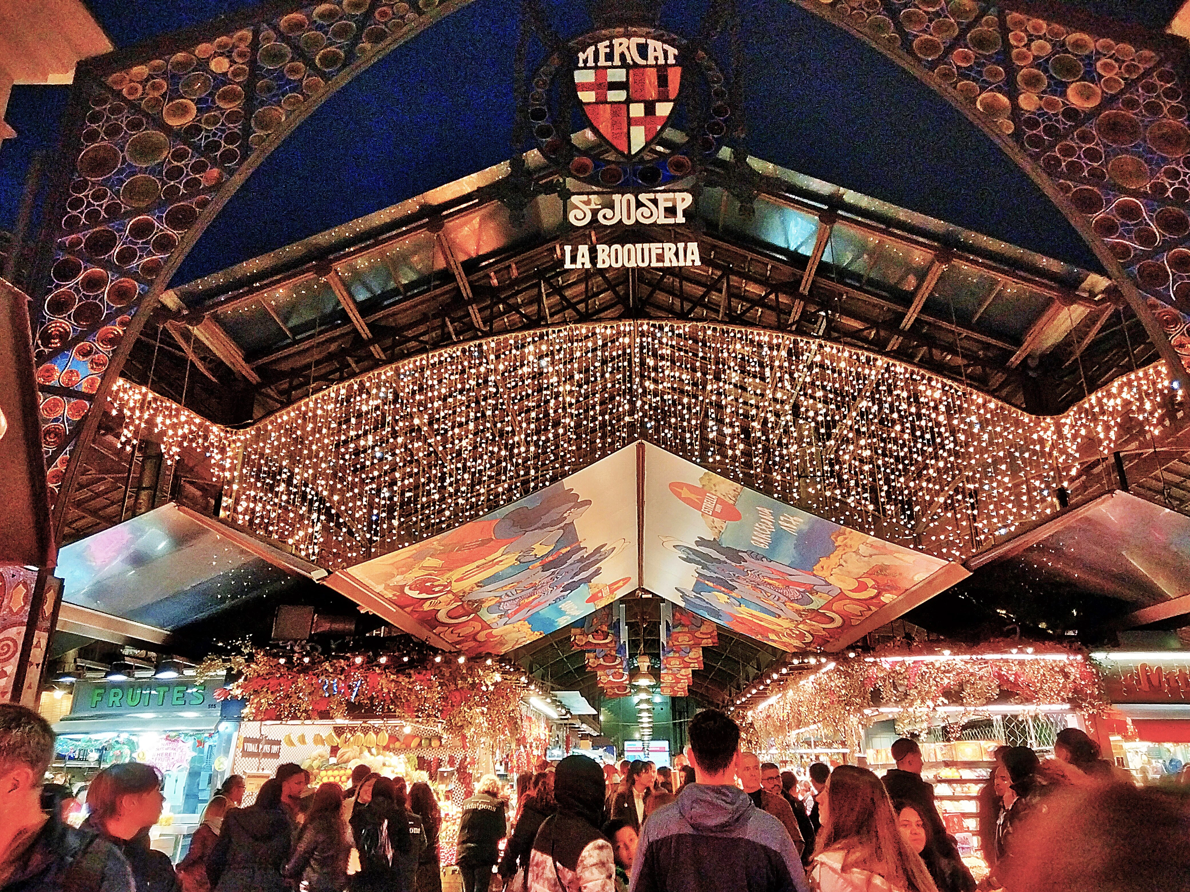
Mercat de la Boqueria (Sant Josep)
Barcelona•leisure
1840 - Present
41.3817°N, 2.1716°E

Mercat de la Boqueria (Sant Josep)

World-famous gastronomic market with modernist cast-iron roof on Las Ramblas

Trading dates back to open-air meat stalls in 1217; officially inaugurated in 1840 over the former convent of Saint Joseph with its 1914 modernist iron roof.

Mercat de Sant Antoni
Barcelona•leisure
1882 - Present
41.3789°N, 2.1627°E

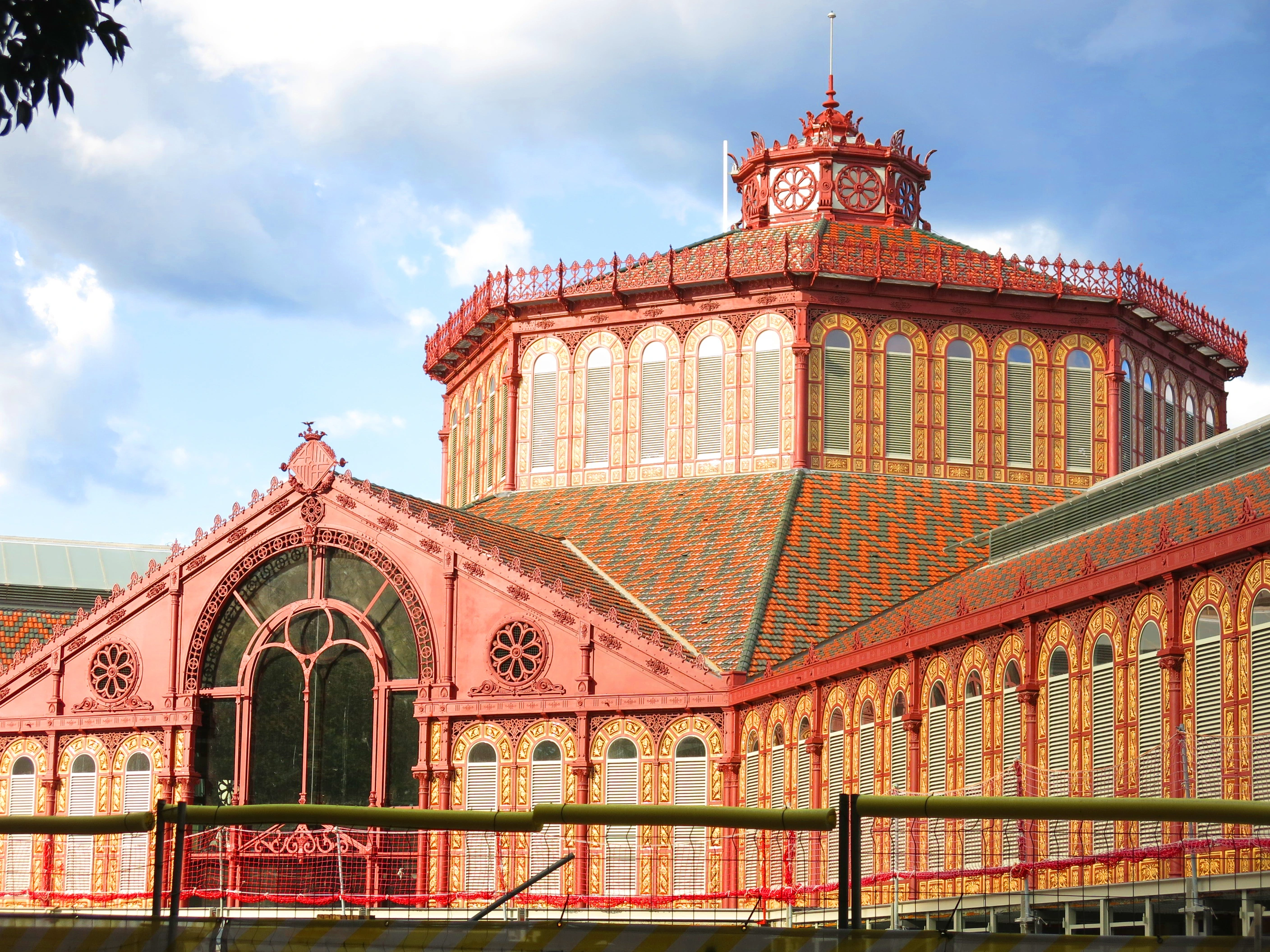
Mercat de Sant Antoni

Magnificent 1882 Greek-cross iron market with Sunday antique book fair

Designed in 1882 by Antoni Rovira i Trias as the first market outside the medieval walls, reopened in 2018 after a nine-year archaeological restoration.

Poble Espanyol de Montjuïc
Barcelona•leisure
1929 - Present
41.3697°N, 2.1481°E

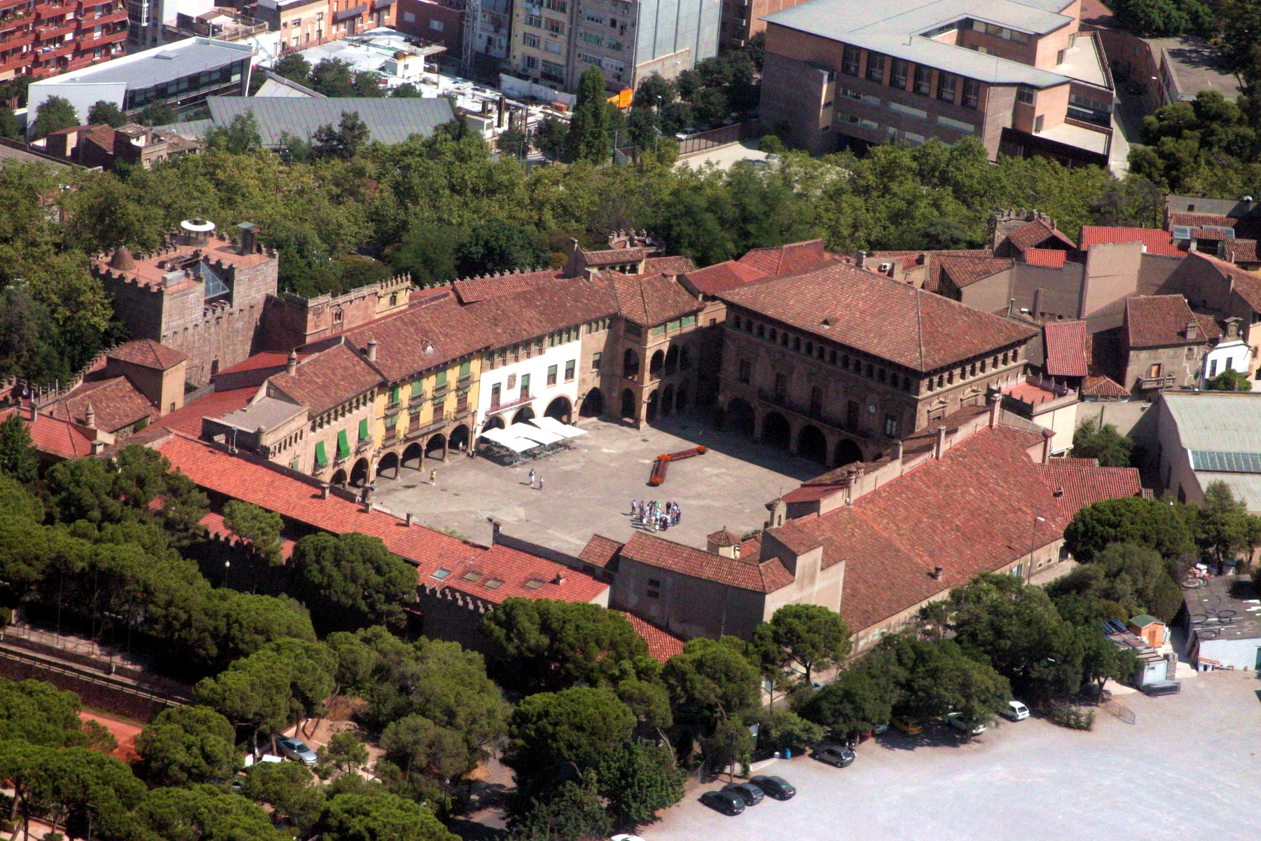
Poble Espanyol de Montjuïc

Open-air architectural museum synthesizing 117 authentic Spanish village buildings

Conceived by Josep Puig i Cadafalch and built for the 1929 International Exposition by architects Francesc Folguera and Ramon Reventós.

Port Olímpic & Coastal Promenade
Barcelona•leisure
1992 - Present
41.3858°N, 2.1970°E

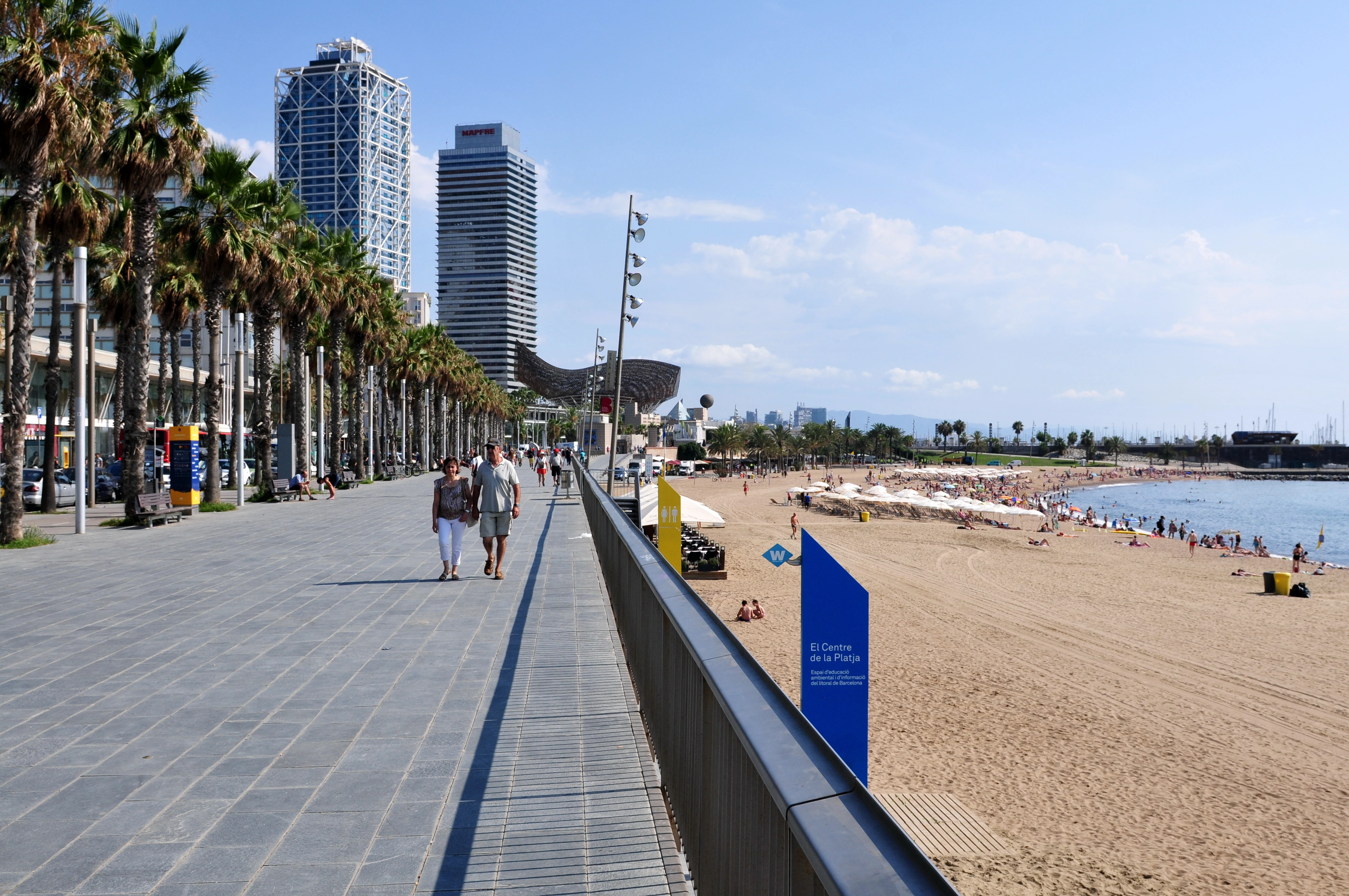
Port Olímpic & Coastal Promenade

Olympic marina, 4.5km golden beaches, and Frank Gehry's Golden Fish sculpture

Created for the 1992 Olympic Games under architect Oriol Bohigas, transforming derelict industrial coastlines into pristine public urban beaches.

L'Aquàrium de Barcelona
Barcelona•leisure
1995 - Present
41.3769°N, 2.1831°E

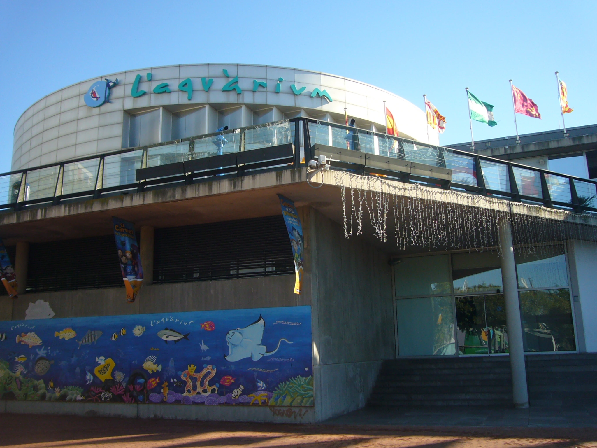
L'Aquàrium de Barcelona

World's foremost Mediterranean marine center with an 80-meter shark tunnel

Inaugurated in 1995 on Moll d'Espanya in Port Vell to promote marine conservation and Mediterranean biodiversity, welcoming over 30 million visitors.

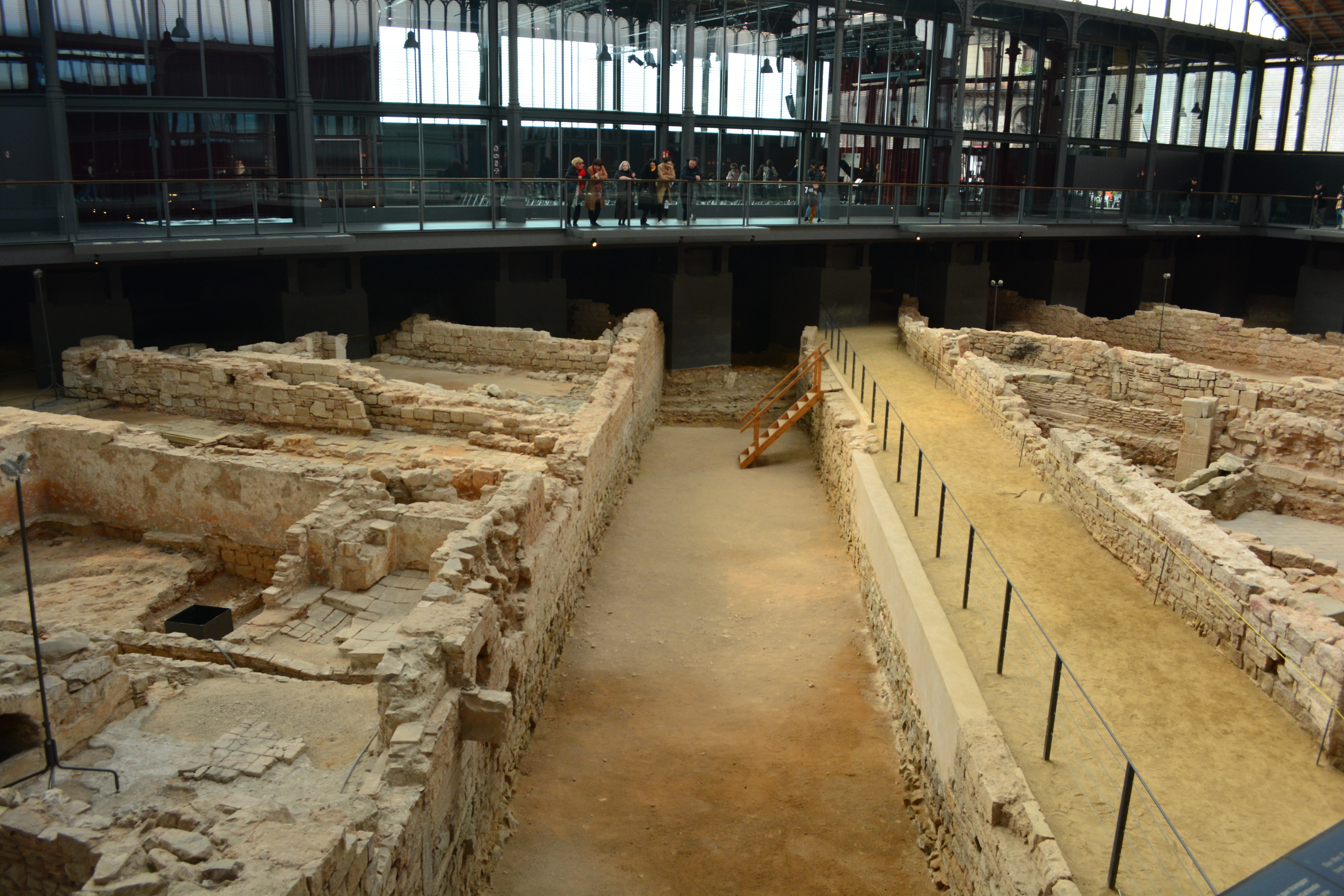
El Rec Comtal & Subterranean Network
Barcelona•leisure
10th - 19th Century
41.3888°N, 2.1833°E

El Rec Comtal & Subterranean Network

Historic 10th-century open canal and advanced subterranean drainage system

Constructed in the 10th century under Count Mir atop an ancient 1st-century Roman aqueduct, supplying 13 kilometers of freshwater to medieval flour mills and guilds.

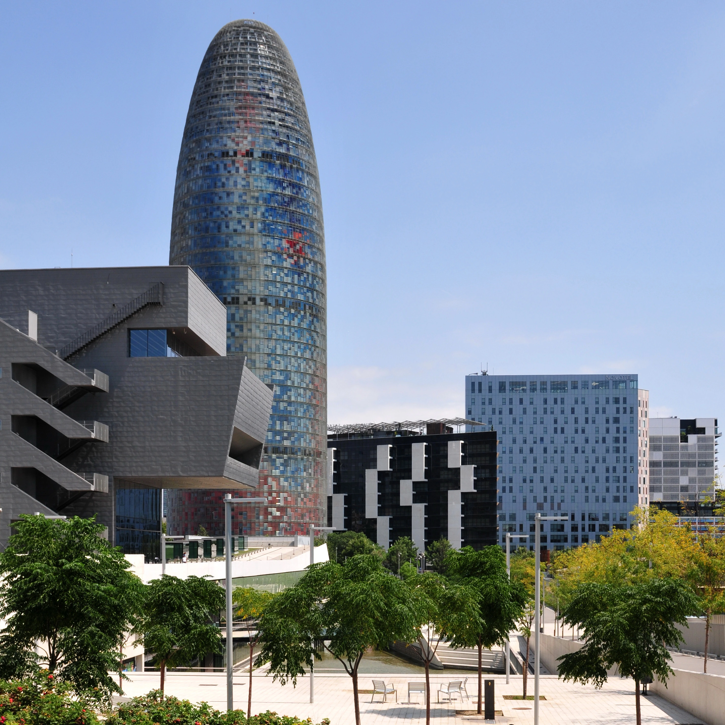
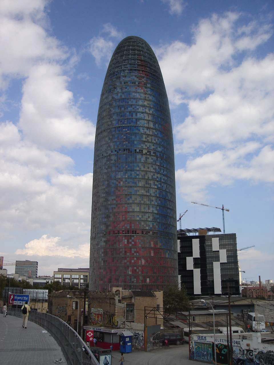
Torre Glòries (Torre Agbar)
Barcelona•leisure
2005 - Present
41.4036°N, 2.1894°E

Torre Glòries (Torre Agbar)

144-meter bullet-shaped skyscraper with 4,500 interactive LED lights and 360 view

Designed by French Pritzker Prize architect Jean Nouvel and opened in 2005 as the gateway to the 22@ technology district, featuring a 360-degree observation deck.

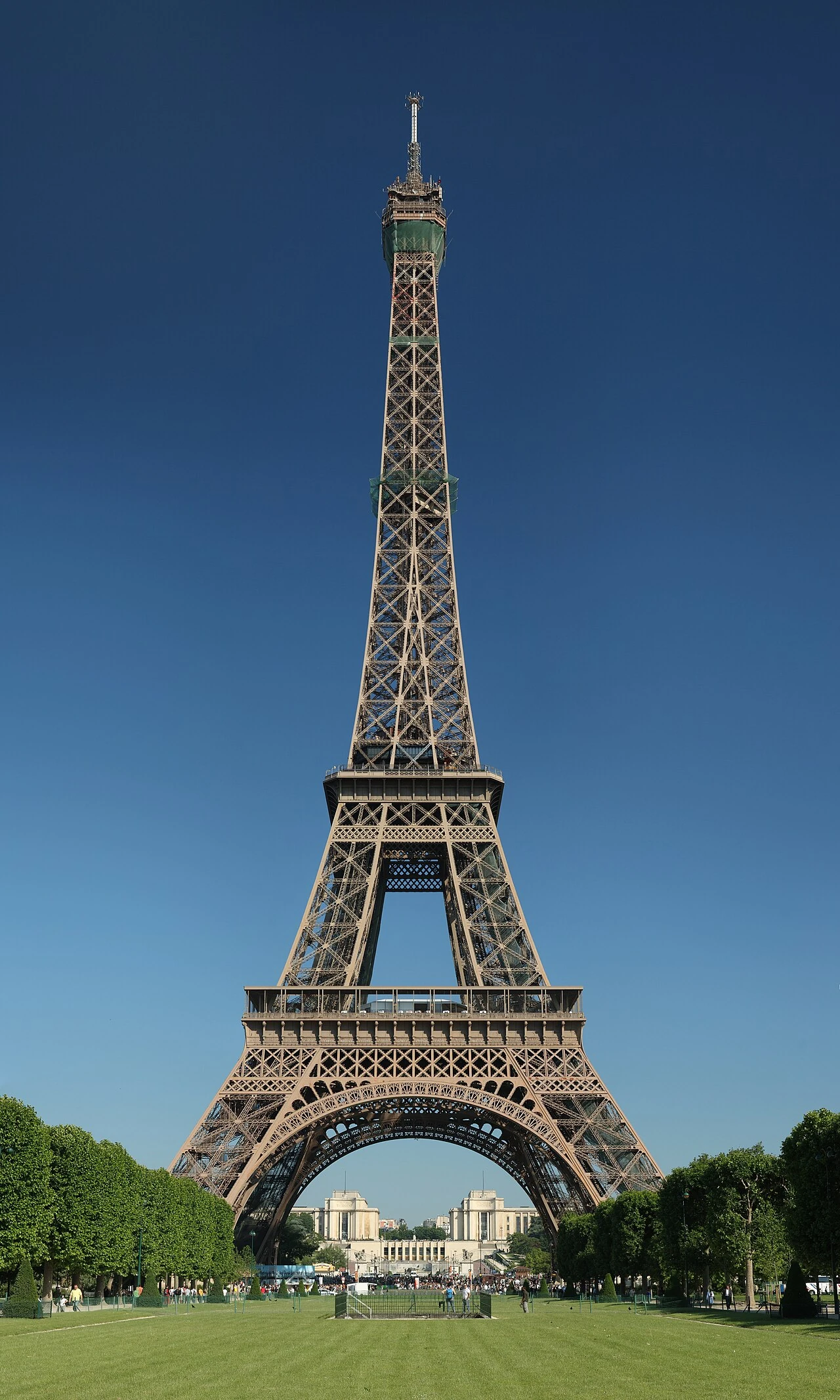
Tour Eiffel
Paris•monuments
1887 - 1889
48.8584°N, 2.2945°E

Tour Eiffel

Iconic wrought-iron spire and global symbol of French architectural genius

Designed by Gustave Eiffel for the 1889 Exposition Universelle, celebrating the centenary of the French Revolution. Standing 330 meters tall, it was the tallest man-made structure in the world for 41 years until 1930.

Musée du Louvre & Palais Royal
Paris•museums
1190 - 1989 (Grand Louvre)
48.8606°N, 2.3376°E

Musée du Louvre & Palais Royal

World largest art sanctuary housing eight millennia of human civilization

Originally built as a medieval fortress by King Philip Augustus in 1190, it served as the royal residence of French monarchs until Louis XIV moved to Versailles in 1682. Opened as a public museum in 1793 during the French Revolution.

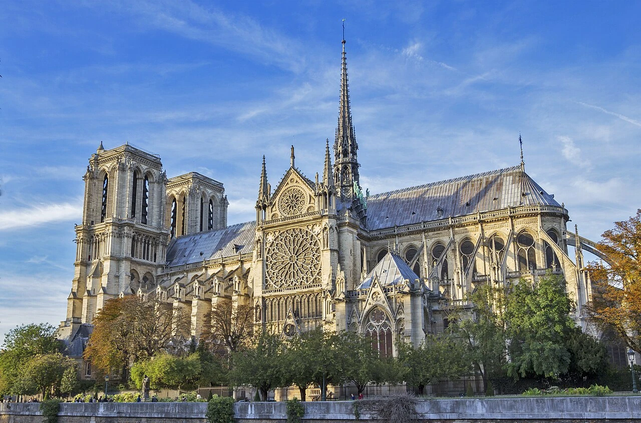
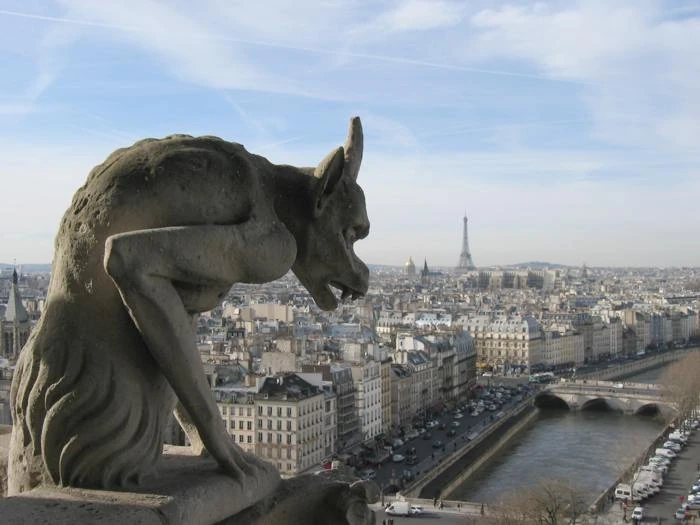
Cathédrale Notre-Dame de Paris
Paris•monuments
1163 - 1345 (Reborn 2024)
48.8530°N, 2.3499°E

Cathédrale Notre-Dame de Paris

Sacred Gothic masterwork on the Île de la Cité and spiritual heart of France

Construction initiated in 1163 under Bishop Maurice de Sully and largely completed by 1260. A pioneering triumph of the Gothic style, it was among the first buildings in the world to incorporate exterior flying buttresses.

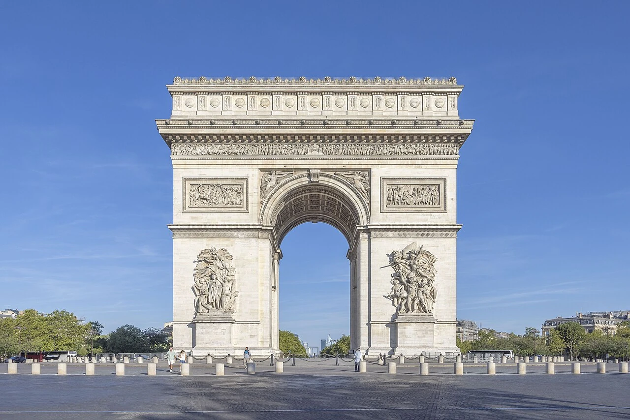
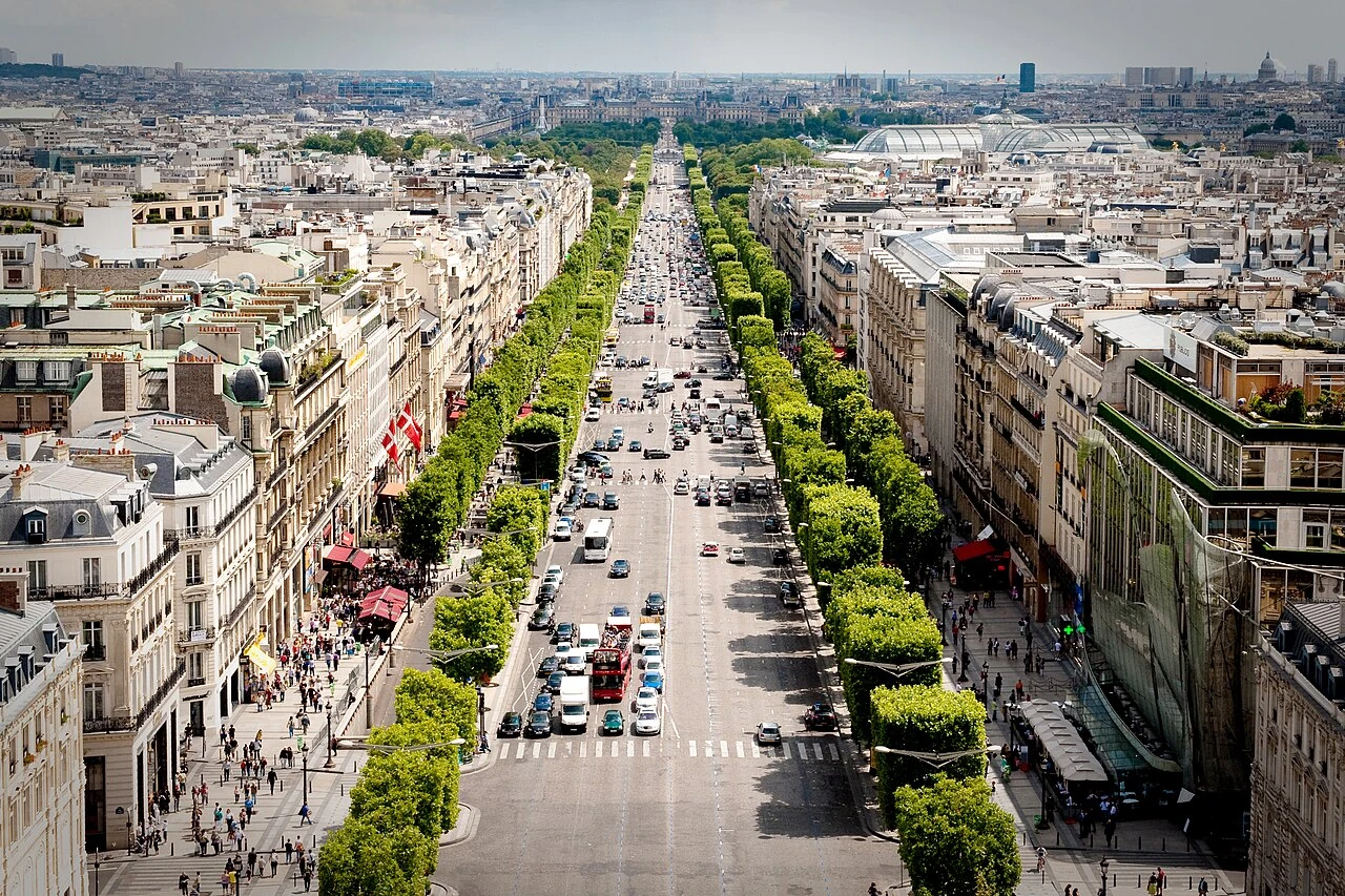
Arc de Triomphe de l'Étoile
Paris•monuments
1806 - 1836
48.8738°N, 2.2950°E

Arc de Triomphe de l'Étoile

Neoclassical triumphal gateway crowning the Champs-Élysées twelve-spoke star

Commissioned in 1806 by Emperor Napoleon Bonaparte after his victory at the Battle of Austerlitz. Designed by Jean Chalgrin in monumental Roman Neoclassical style and inaugurated in 1836.

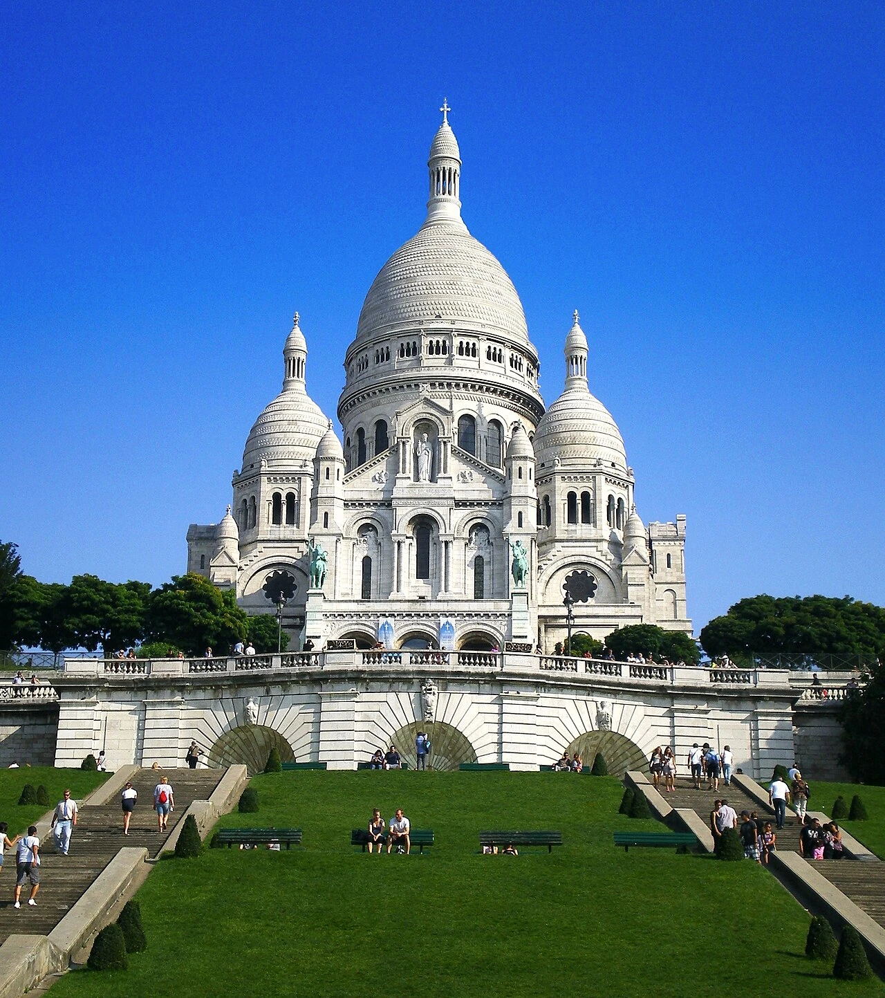
Basilique du Sacré-Cœur de Montmartre
Paris•spiritual
1875 - 1919 (Consecration)
48.8867°N, 2.3431°E

Basilique du Sacré-Cœur de Montmartre

Romano-Byzantine white travertine sanctuary towering over Montmartre hill

Constructed between 1875 and 1914 by architect Paul Abadie as a national vow of penance following the Franco-Prussian War and the 1871 Paris Commune. Perched at 130 meters elevation atop the Butte Montmartre.

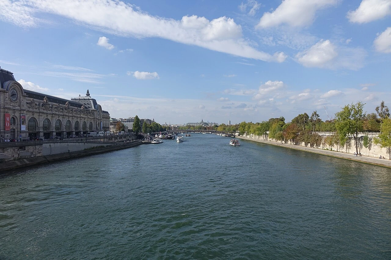
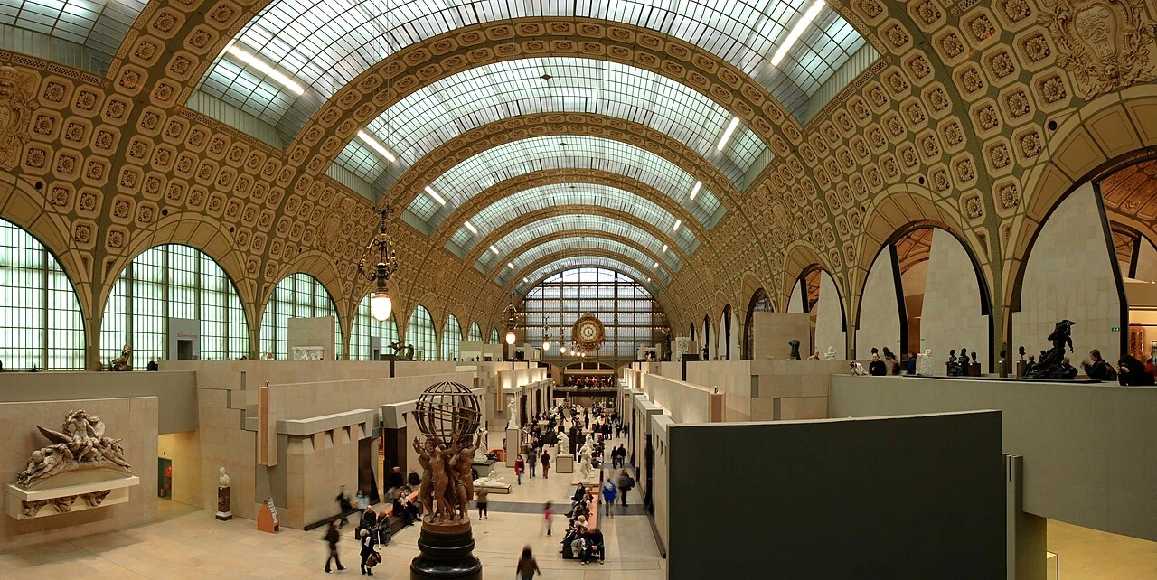
Musée d'Orsay
Paris•museums
1900 (Station) - 1986 (Museum)
48.8599°N, 2.3265°E

Musée d'Orsay

Palatial Beaux-Arts railway terminal turned world temple of Impressionism

Originally constructed as the Gare d'Orsay railway station by Victor Laloux for the 1900 Paris Exposition. Transformed into a museum in 1986 under President François Mitterrand, housing 1848–1914 art.

Sainte-Chapelle
Paris•monuments
1242 - 1248
48.8554°N, 2.3450°E

Sainte-Chapelle

Rayonnant Gothic jewel box of 13th-century stained glass and reliquary splendor

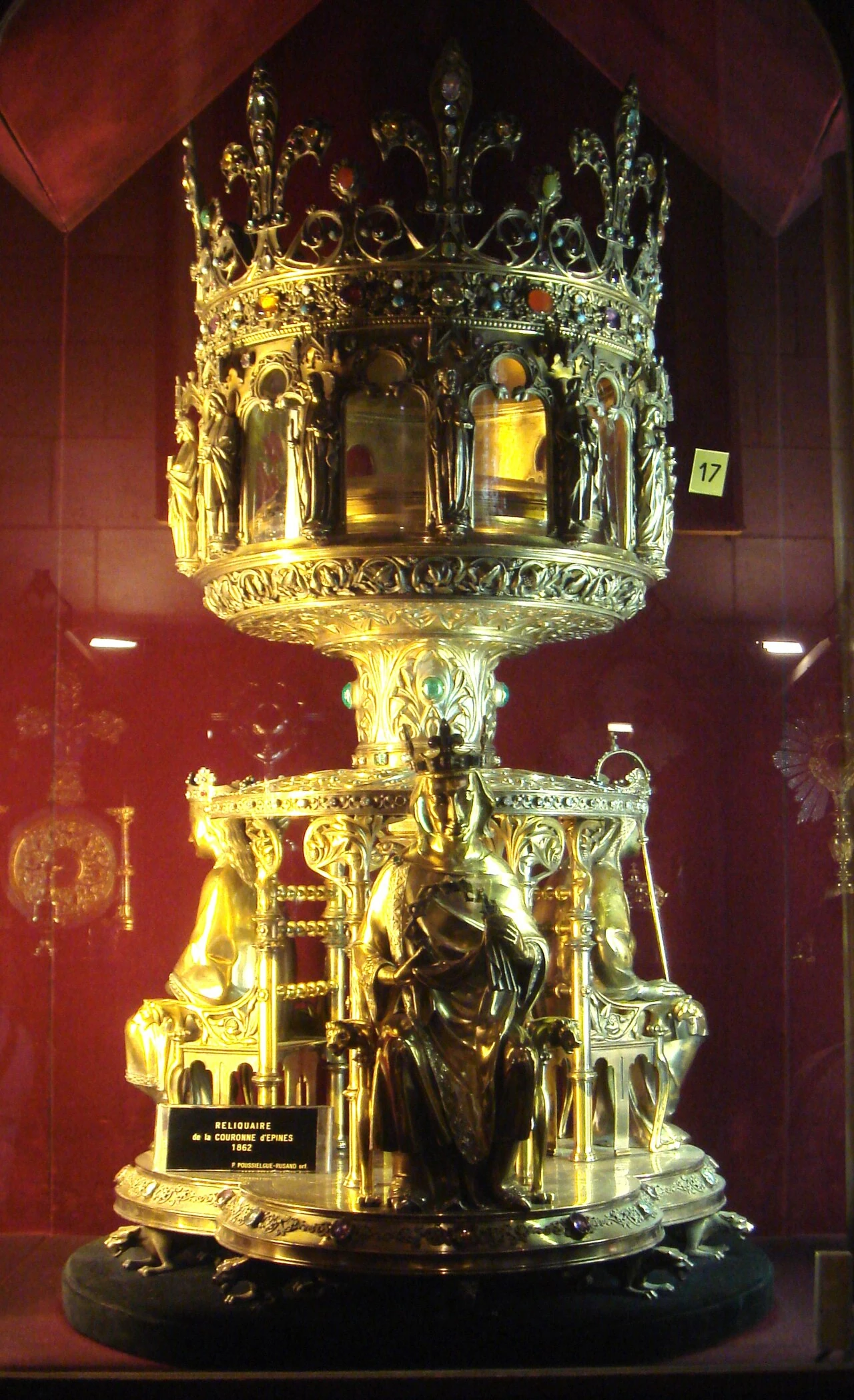
Commissioned by King Louis IX (Saint Louis) to house Christ's Crown of Thorns and relics of the Passion. Consecrated on April 26, 1248, after an astonishingly rapid 7-year construction.

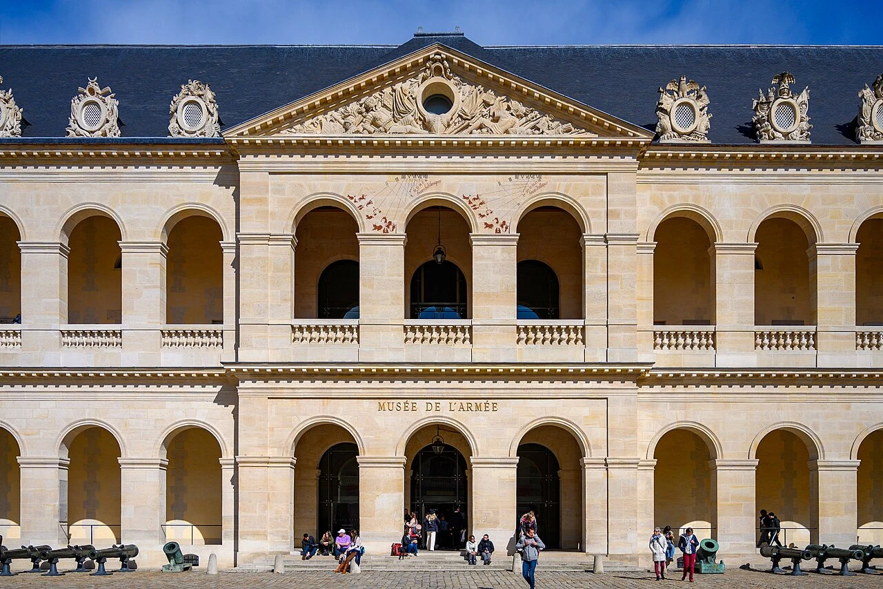
Hôtel National des Invalides & Dôme
Paris•monuments
1670 - 1706 (Tomb 1861)
48.8550°N, 2.3126°E

Hôtel National des Invalides & Dôme

Baroque royal veteran sanctuary crowned by the golden Dôme and Napoleon tomb

Founded in 1670 by King Louis XIV as a home and hospital for wounded and aged war veterans. The landmark Dôme des Invalides, designed by Jules Hardouin-Mansart, was completed in 1706.

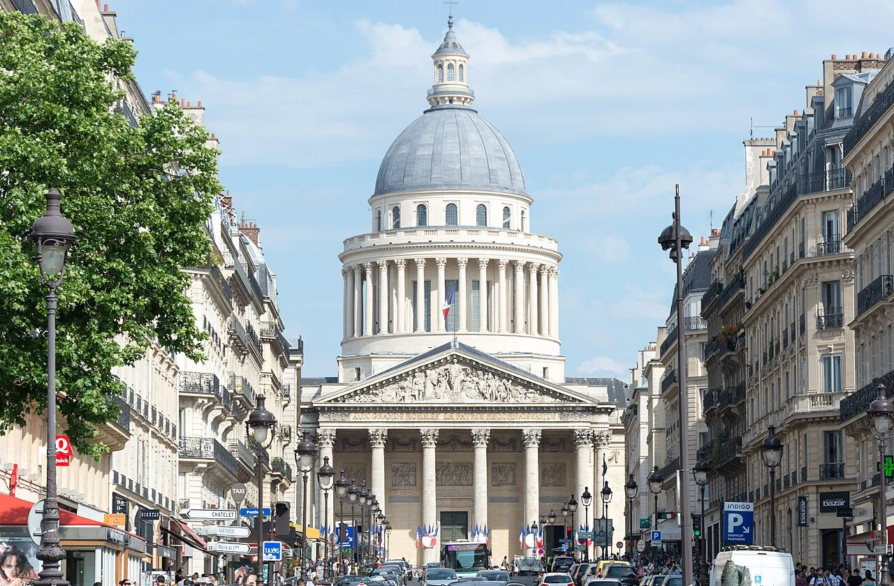
Panthéon de Paris
Paris•monuments
1758 - 1790
48.8462°N, 2.3464°E

Panthéon de Paris

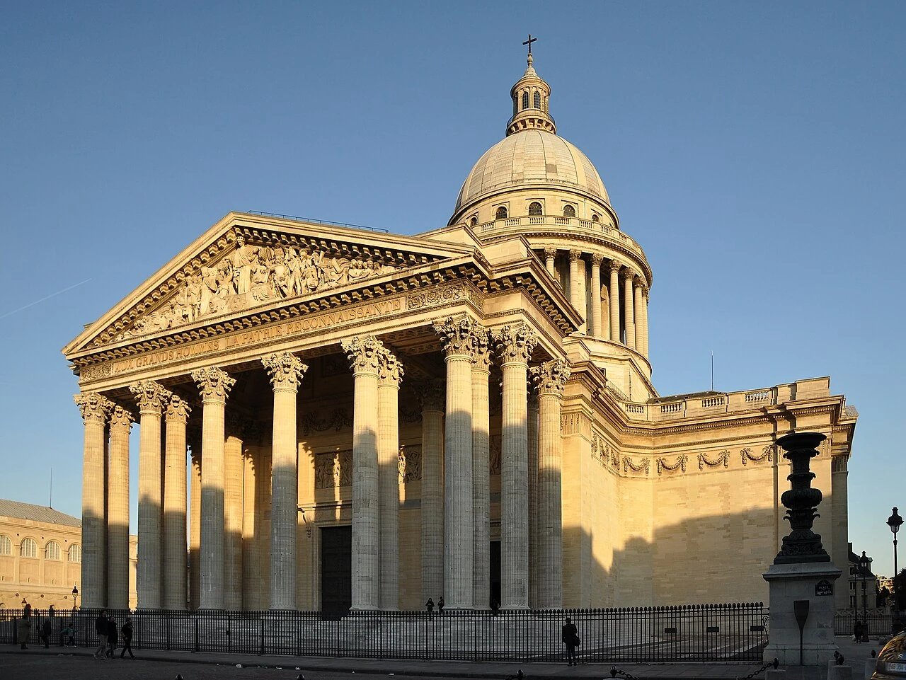
Neoclassical secular necropolis honoring the great luminaries of France

Commissioned in 1758 by King Louis XV as a church dedicated to Saint Genevieve, designed by Jacques-Germain Soufflot. Converted during the French Revolution in 1791 into a secular mausoleum for France's greatest heroes.

Centre Georges Pompidou
Paris•museums
1971 - 1977
48.8606°N, 2.3522°E

Centre Georges Pompidou

High-Tech inside-out cultural icon housing Europe largest modern art museum

Designed by Renzo Piano and Richard Rogers following an international competition in 1971. Inaugurated in 1977, it revolutionized museum design by exposing its structural and mechanical systems on the exterior.

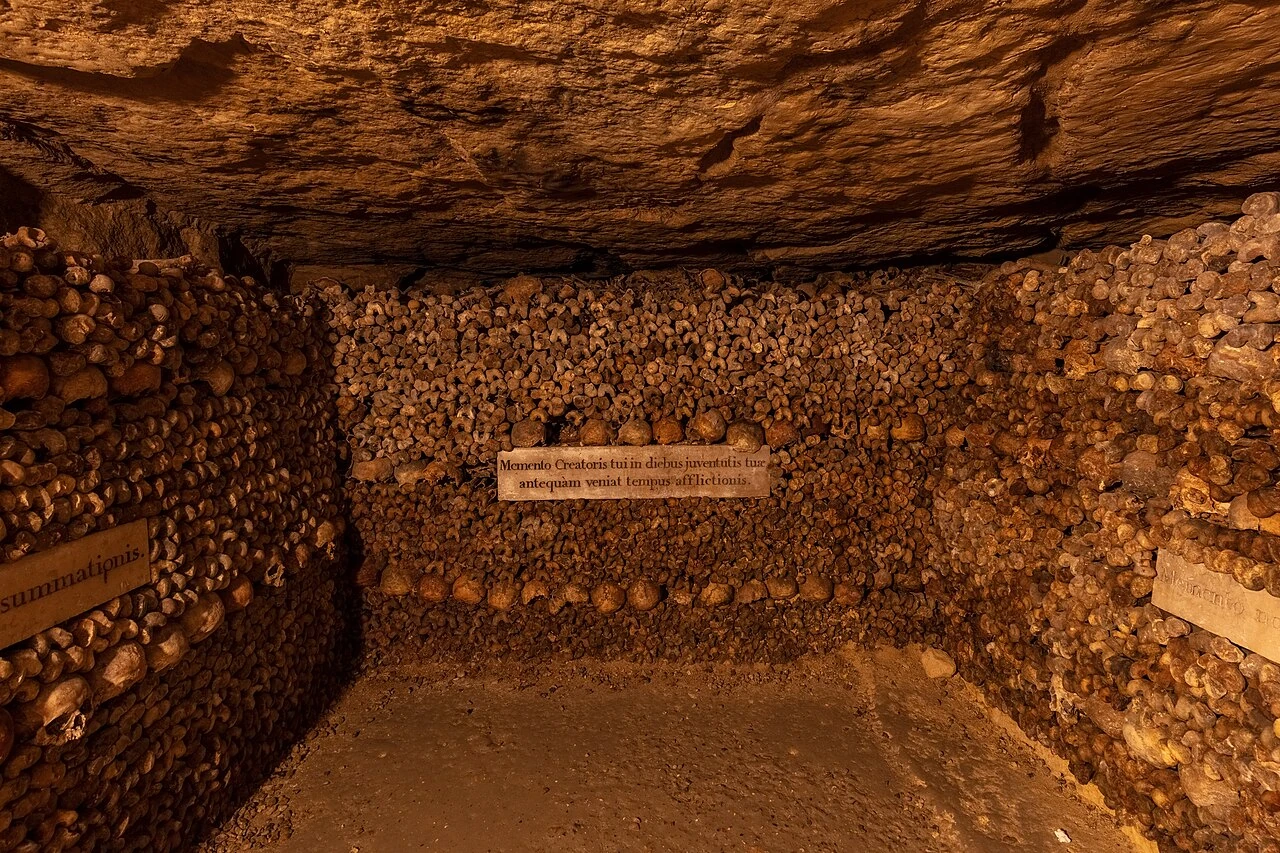
Catacombes de Paris
Paris•subterranean
1786 - 1814
48.8339°N, 2.3322°E

Catacombes de Paris

Subterranean labyrinth and ossuary holding the sacred remains of six million Parisians

Created in the late 18th century (1786) in former Gallo-Roman limestone quarries to alleviate Paris overflowing parish cemeteries like Les Innocents. Transferred at night by torchlight.

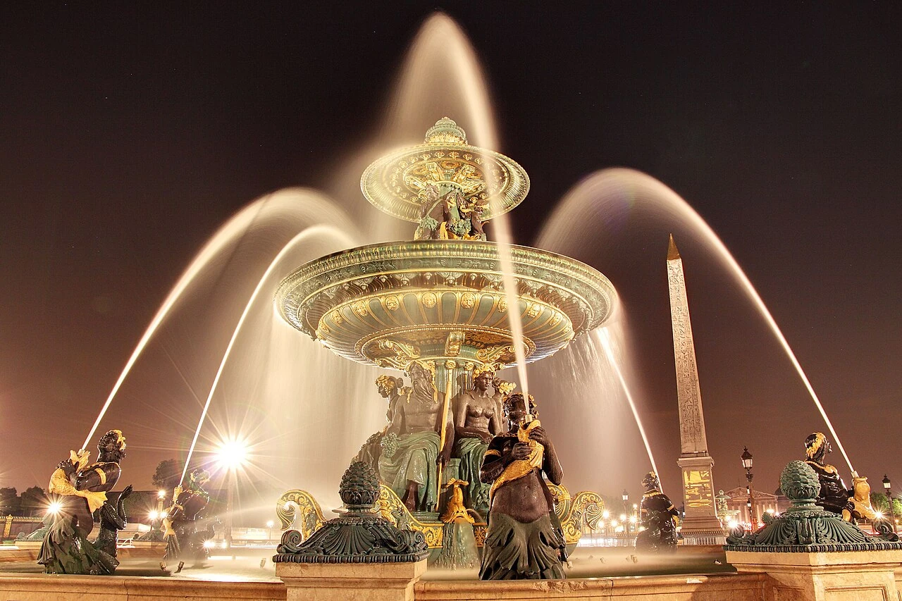
Place de la Concorde & Luxor Obelisk
Paris•monuments
1755 - 1836 (Obelisk raised)
48.8656°N, 2.3212°E

Place de la Concorde & Luxor Obelisk

Monumental royal plaza framing the 3,300-year-old Egyptian golden monolith

Designed in 1755 by Ange-Jacques Gabriel as Place Louis XV. During the French Revolution, the guillotine was erected here, executing King Louis XVI, Marie Antoinette, and Robespierre.

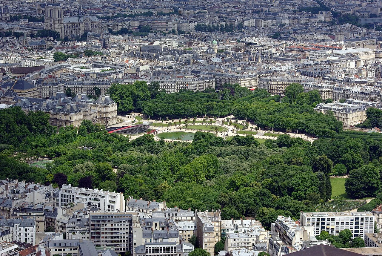
Jardin du Luxembourg & Palais du Sénat
Paris•parks
1612 - 1630
48.8469°N, 2.3372°E

Jardin du Luxembourg & Palais du Sénat

Florentine-inspired royal gardens, Medici Fountain, and French Senate palace

Created beginning in 1612 by Queen Marie de' Medici, widow of King Henri IV, to evoke the Boboli Gardens and Pitti Palace of her native Florence. Today it houses the French Senate.

Musée de l'Orangerie
Paris•museums
1852 (Orangerie) - 1927 (Nymphéas Installation)
48.8638°N, 2.3225°E

Musée de l'Orangerie

Immersive oval sanctuary of Claude Monet's monumental Water Lilies (Nymphéas)

Constructed in 1852 by Firmin Bourgeois to shelter the citrus trees of the Tuileries palace in winter. Adapted in 1927 to permanently install Claude Monet's eight monumental Water Lilies murals.

Jardin des Tuileries & Arc du Carrousel
Paris•parks
1564 - 1664 (Le Nôtre)
48.8639°N, 2.3261°E

Jardin des Tuileries & Arc du Carrousel

Historic royal garden of Catherine de' Medici along the Grand Axis of Paris

Created in 1564 by Queen Catherine de' Medici alongside the Tuileries Palace on former tile-making kiln fields (tuileries). Redesigned in 1664 by André Le Nôtre into a French formal masterwork.

Grand Palais des Champs-Élysées
Paris•monuments
1897 - 1900 (Restored 2024)
48.8661°N, 2.3125°E

Grand Palais des Champs-Élysées

Beaux-Arts monumental glass-and-steel exhibition palace of the 1900 World Fair

Constructed for the 1900 Exposition Universelle by architects Henri Deglane, Albert Louvet, Albert-Félix-Théophile Thomas, and Charles Girault. Celebrated for its soaring iron-and-glass nave.

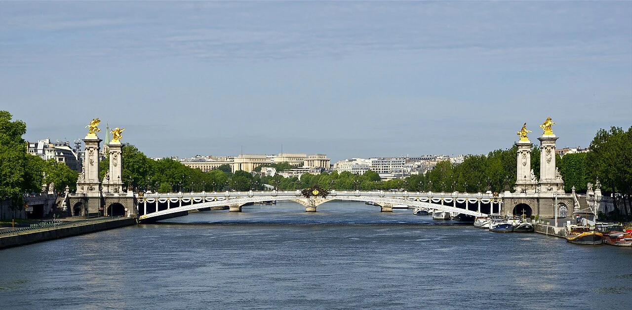
Pont Alexandre III
Paris•monuments
1896 - 1900
48.8636°N, 2.3136°E

Pont Alexandre III

The most ornate Beaux-Arts bridge in Paris with gilded Fames and Art Nouveau lamps

Constructed between 1896 and 1900 to commemorate the Franco-Russian Alliance, named after Tsar Alexander III of Russia whose son Nicholas II laid the foundation stone. Opened for the 1900 Expo.

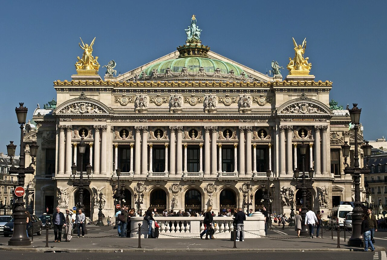
Palais Garnier (Opéra de Paris)
Paris•monuments
1861 - 1875
48.8719°N, 2.3317°E

Palais Garnier (Opéra de Paris)

Opulent Second Empire opera palace with Chagall ceiling and legendary underground lake

Designed by Charles Garnier for Emperor Napoleon III and inaugurated in 1875. The supreme masterpiece of Second Empire Beaux-Arts theatrical architecture.

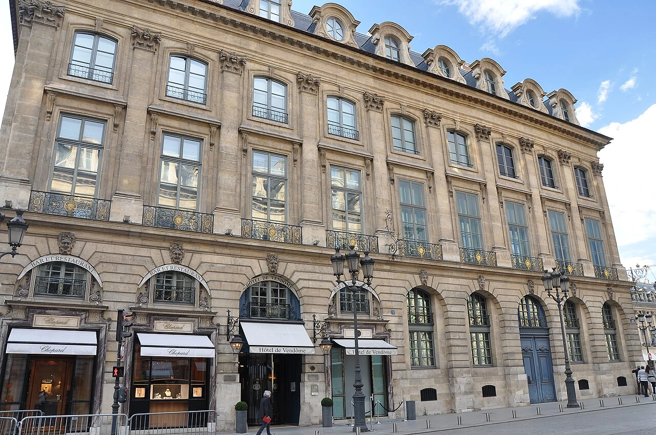
Place Vendôme & Colonne Vendôme
Paris•monuments
1699 - 1810 (Column)
48.8675°N, 2.3294°E

Place Vendôme & Colonne Vendôme

Octagonal royal plaza of high jewellery crowned by Napoleon's Austerlitz bronze column

Designed in 1699 by Jules Hardouin-Mansart as a showcase for royal splendor. Today it is the world epicenter of luxury haute joaillerie and home to the Ritz Paris.

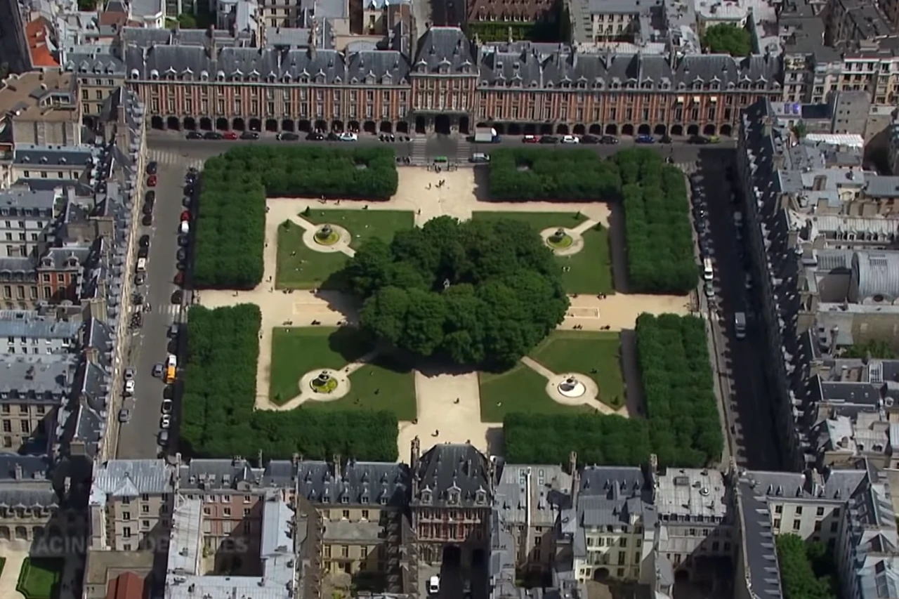
Place des Vosges & Maison de Victor Hugo
Paris•neighborhoods
1605 - 1612
48.8556°N, 2.3656°E

Place des Vosges & Maison de Victor Hugo

Oldest planned royal square in Paris with red brick arcades in the heart of Le Marais

Inaugurated in 1612 as Place Royale to celebrate the engagement of Louis XIII and Anne of Austria. Renamed Place des Vosges in 1800 to honor the first French department to pay its taxes.

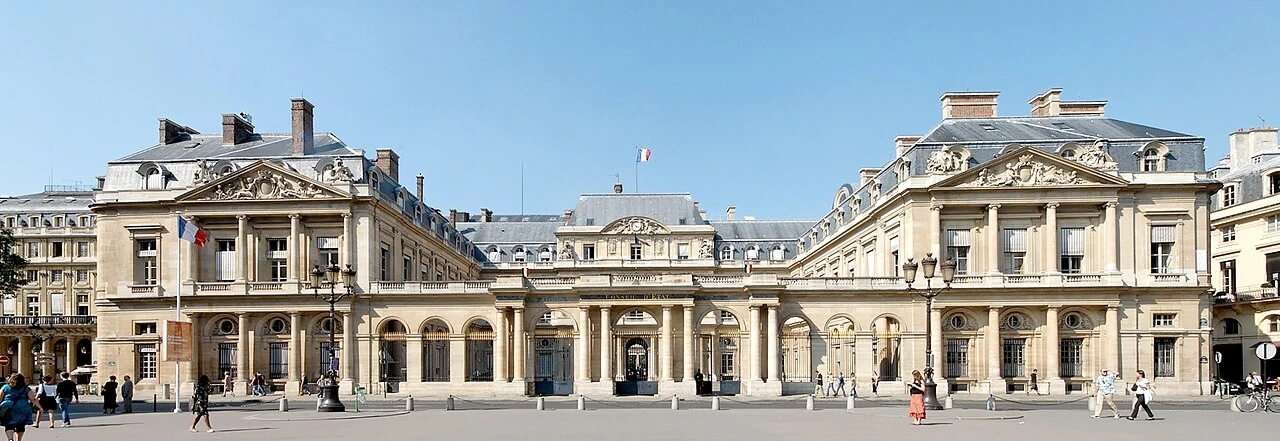
Palais-Royal & Colonnes de Buren
Paris•monuments
1629 - 1784 (Arcades) - 1986 (Buren)
48.8633°N, 2.3369°E

Palais-Royal & Colonnes de Buren

Cardinal Richelieu's historic royal court with Daniel Buren's striped art installation

Built by Cardinal Richelieu in 1629 as the Palais-Cardinal, later bequeathed to King Louis XIII and inhabited by the young Sun King Louis XIV. Contemporary installation by Daniel Buren added in 1986.

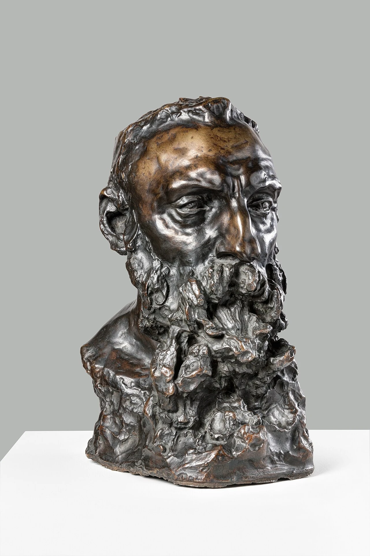
Musée Rodin (Hôtel Biron)
Paris•museums
1732 (Hôtel Biron) - 1919 (Museum opened)
48.8553°N, 2.3158°E

Musée Rodin (Hôtel Biron)

Auguste Rodin's former aristocratic mansion and sculpture rose gardens

Housed in the 18th-century rococo Hôtel Biron (1732), where Auguste Rodin lived and worked as a tenant from 1908. Rodin bequeathed his entire collection to the French nation on the condition that the mansion become his museum.

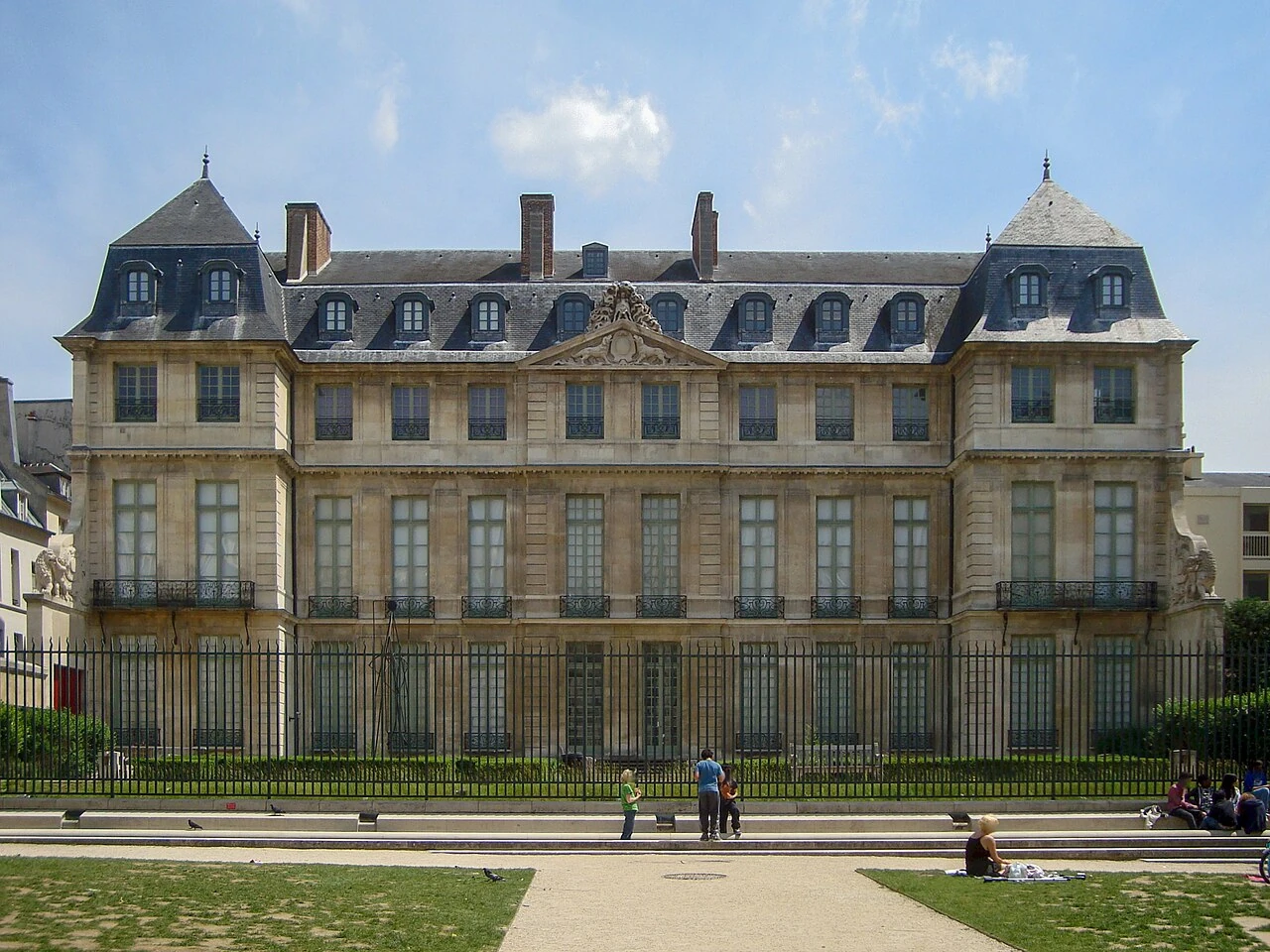
Musée Picasso Paris (Hôtel Salé)
Paris•museums
1656 (Hôtel Salé) - 1985 (Museum)
48.8597°N, 2.3624°E

Musée Picasso Paris (Hôtel Salé)

World's most comprehensive private collection of Pablo Picasso in a 17th-century Marais mansion

Located in the opulent Hôtel Salé (built 1656 for salt-tax collector Pierre Aubert). The museum was established in 1985 to house works donated by Picasso's heirs in lieu of French inheritance taxes.

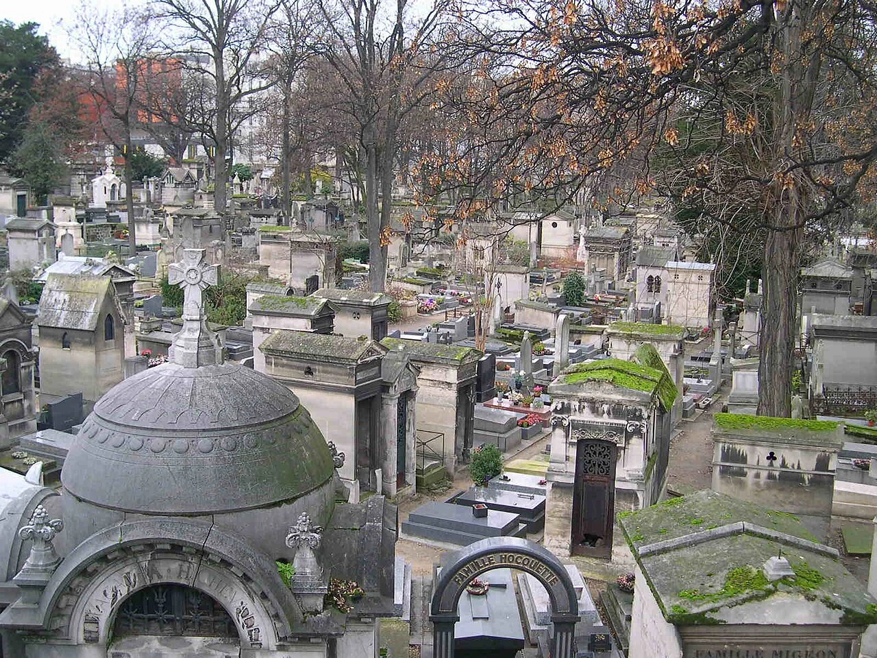
Cimetière du Père Lachaise
Paris•spiritual
1804 - Present
48.8600°N, 2.3950°E

Cimetière du Père Lachaise

World's most visited garden cemetery, resting place of literary and musical legends

Opened in 1804 by order of Napoleon Bonaparte, designed by Alexandre-Théodore Brongniart as the world's first large park cemetery. Spans 44 hectares with over 70,000 burial plots.

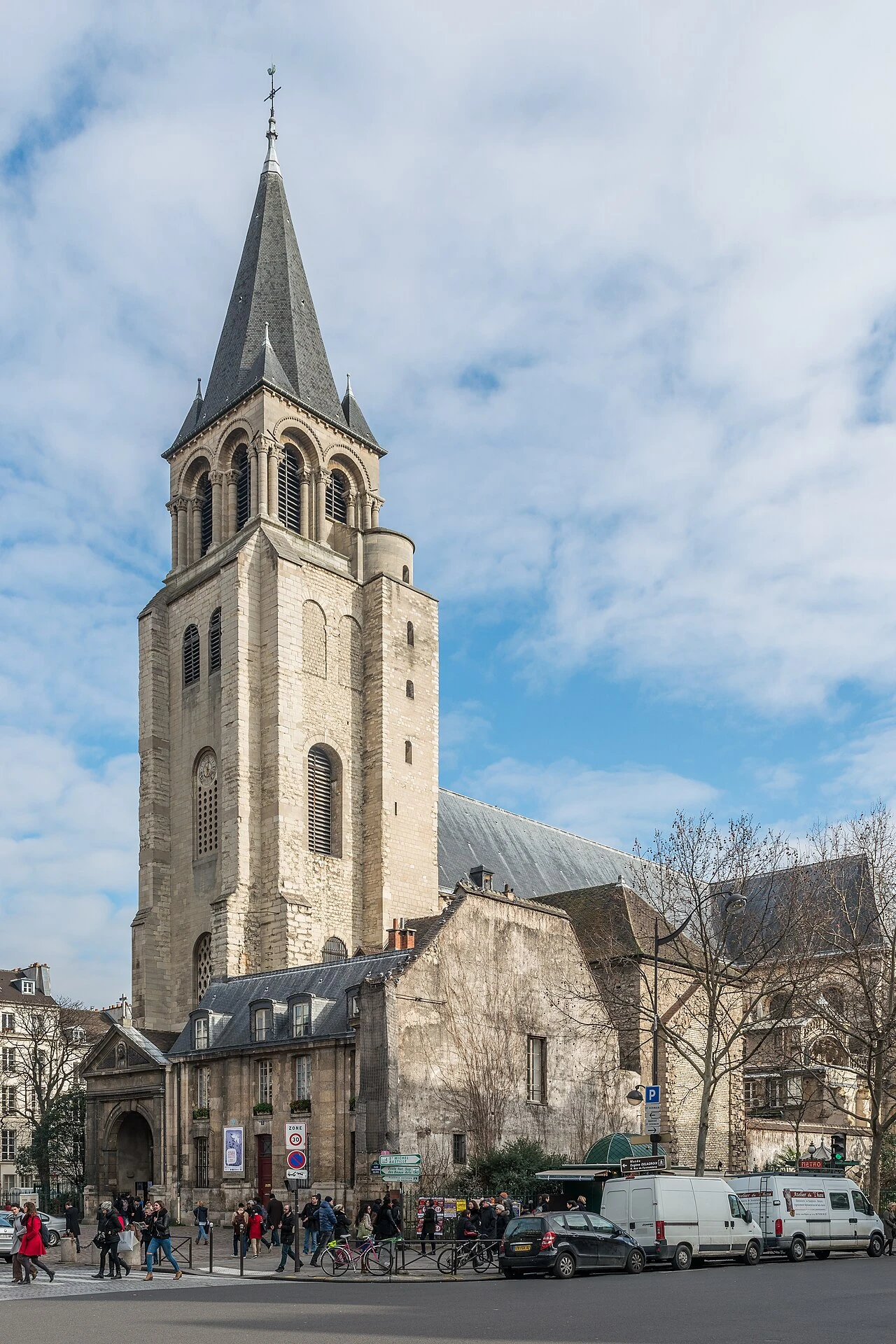
Église Saint-Germain-des-Prés
Paris•spiritual
558 AD (Foundation) - 1163 (Consecration)
48.8539°N, 2.3344°E

Église Saint-Germain-des-Prés

Oldest abbey church in Paris and historic intellectual heart of the Left Bank

Founded in 558 AD by King Childebert I (son of Clovis) to house relics of Saint Vincent and the True Cross. The current Romanesque bell tower and nave date from the 10th and 11th centuries.

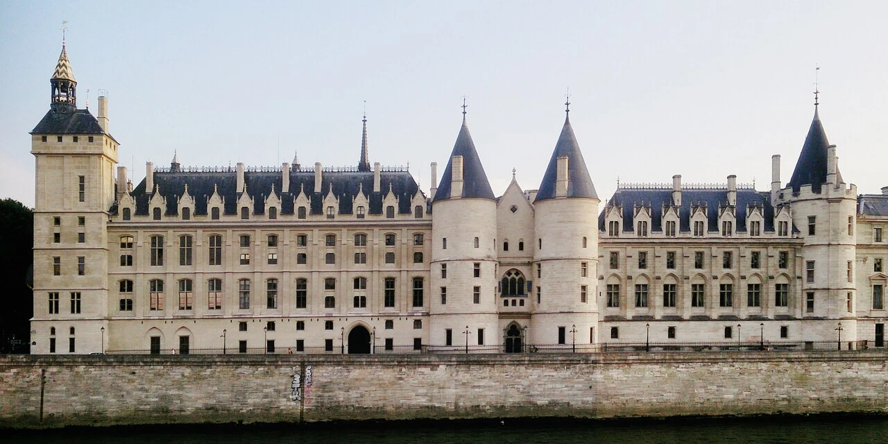
La Conciergerie
Paris•monuments
1301 - 1315 (Philip the Fair)
48.8558°N, 2.3458°E

La Conciergerie

Capetian Gothic royal palace and legendary Revolutionary prison of Queen Marie Antoinette

Originally the medieval royal palace of the Capetian kings (Palais de la Cité). Converted in 1391 into a state prison. During the French Revolution's Reign of Terror, over 2,700 prisoners were held here before the guillotine.

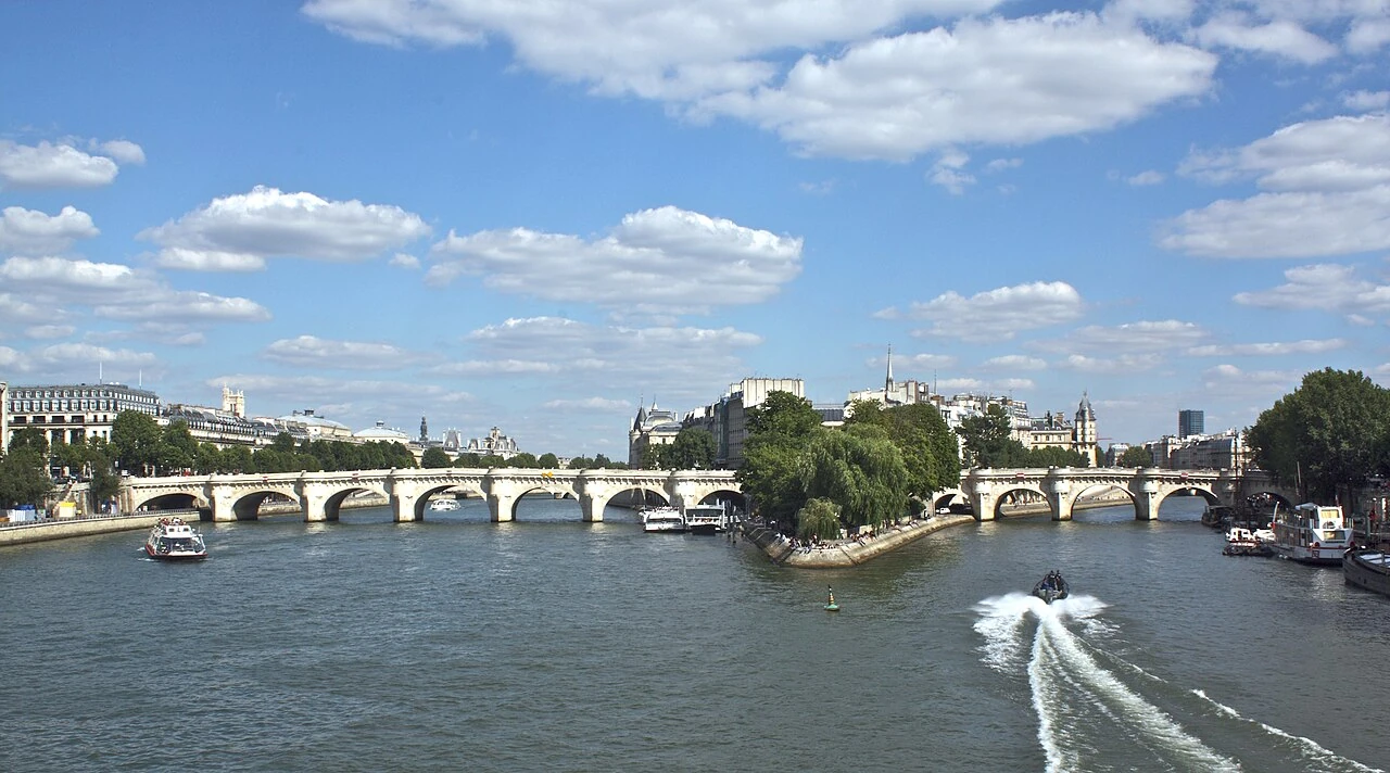
Pont Neuf
Paris•monuments
1578 - 1607
48.8566°N, 2.3414°E

Pont Neuf

Oldest standing stone bridge in Paris adorned with 381 grotesque mascarons and Henri IV statue

Commissioned by King Henri III in 1578 and completed under King Henri IV in 1607. Despite its name meaning 'New Bridge', it is the oldest standing bridge crossing the River Seine in Paris.

Tour Saint-Jacques
Paris•monuments
1509 - 1523
48.8581°N, 2.3489°E

Tour Saint-Jacques

Flamboyant Gothic solitary bell tower and historic departure point of the Camino de Santiago

Constructed between 1509 and 1523 as the bell tower of the Church of Saint-Jacques-de-la-Boucherie. The church was demolished during the French Revolution in 1797, but the 52-meter Gothic tower was preserved.

Fondation Louis Vuitton
Paris•museums
2006 - 2014
48.8767°N, 2.2633°E

Fondation Louis Vuitton

Frank Gehry's futuristic deconstructivist glass-sail vessel in the Bois de Boulogne

Commissioned by LVMH chairman Bernard Arnault and designed by Pritzker Prize-winning architect Frank Gehry. Opened in 2014 in the Jardin d'Acclimatation as a center for contemporary art.

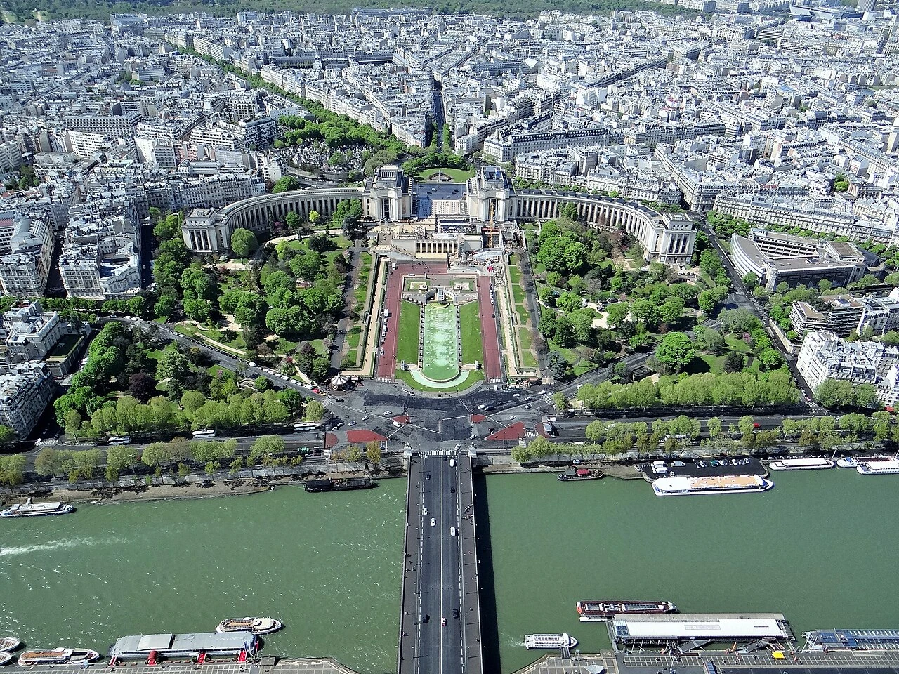
Palais de Chaillot & Jardins du Trocadéro
Paris•monuments
1937
48.8624°N, 2.2882°E

Palais de Chaillot & Jardins du Trocadéro

Art Deco monumental palace and Fountains of Warsaw framing the ultimate Eiffel Tower view

Built for the 1937 Exposition Internationale des Arts et Techniques, replacing the Moorish 1878 Palais du Trocadéro. Designed by architects Louis-Auguste Boileau, Jacques Carlu, and Léon Azéma.

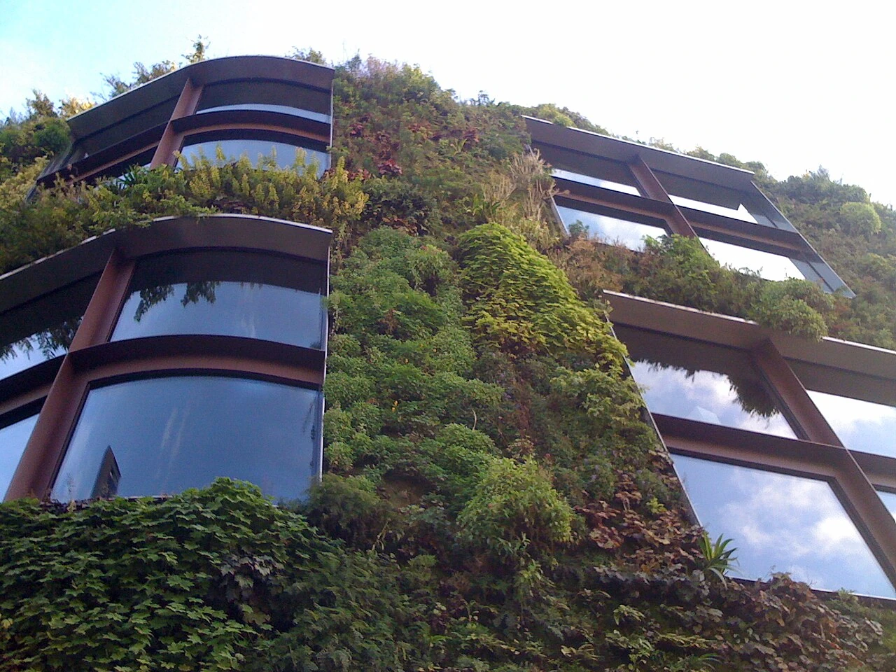
Musée du Quai Branly – Jacques Chirac
Paris•museums
2001 - 2006
48.8608°N, 2.2975°E

Musée du Quai Branly – Jacques Chirac

Jean Nouvel's indigenous arts sanctuary with a 200-meter living green wall by Patrick Blanc

Inaugurated in 2006 under President Jacques Chirac and designed by Pritzker Prize winner Jean Nouvel. Dedicated to the indigenous arts and civilizations of Africa, Asia, Oceania, and the Americas.

Musée de Cluny (Musée National du Moyen Âge)
Paris•museums
1st Century AD (Baths) - 1485 (Hôtel) - 1843 (Museum)
48.8508°N, 2.3442°E

Musée de Cluny (Musée National du Moyen Âge)

Gallo-Roman thermal baths and medieval abbey housing The Lady and the Unicorn tapestries

Located in the Latin Quarter, combining the 1st–3rd century AD Gallo-Roman Thermes de Cluny (public baths) and the 15th-century Flamboyant Gothic Hôtel des Abbés de Cluny. Museum founded in 1843.

Musée Carnavalet • Histoire de Paris
Paris•museums
1548 (Hôtel) - 1880 (Museum)
48.8572°N, 2.3628°E

Musée Carnavalet • Histoire de Paris

Oldest municipal museum dedicated to the complete history of Paris from prehistoric to modern

Opened in 1880 in the 16th-century Renaissance Hôtel Carnavalet (former home of letter-writer Madame de Sévigné) and expanded into the adjacent Hôtel Le Peletier de Saint-Fargeau. Reopened in 2021 after a complete restoration.

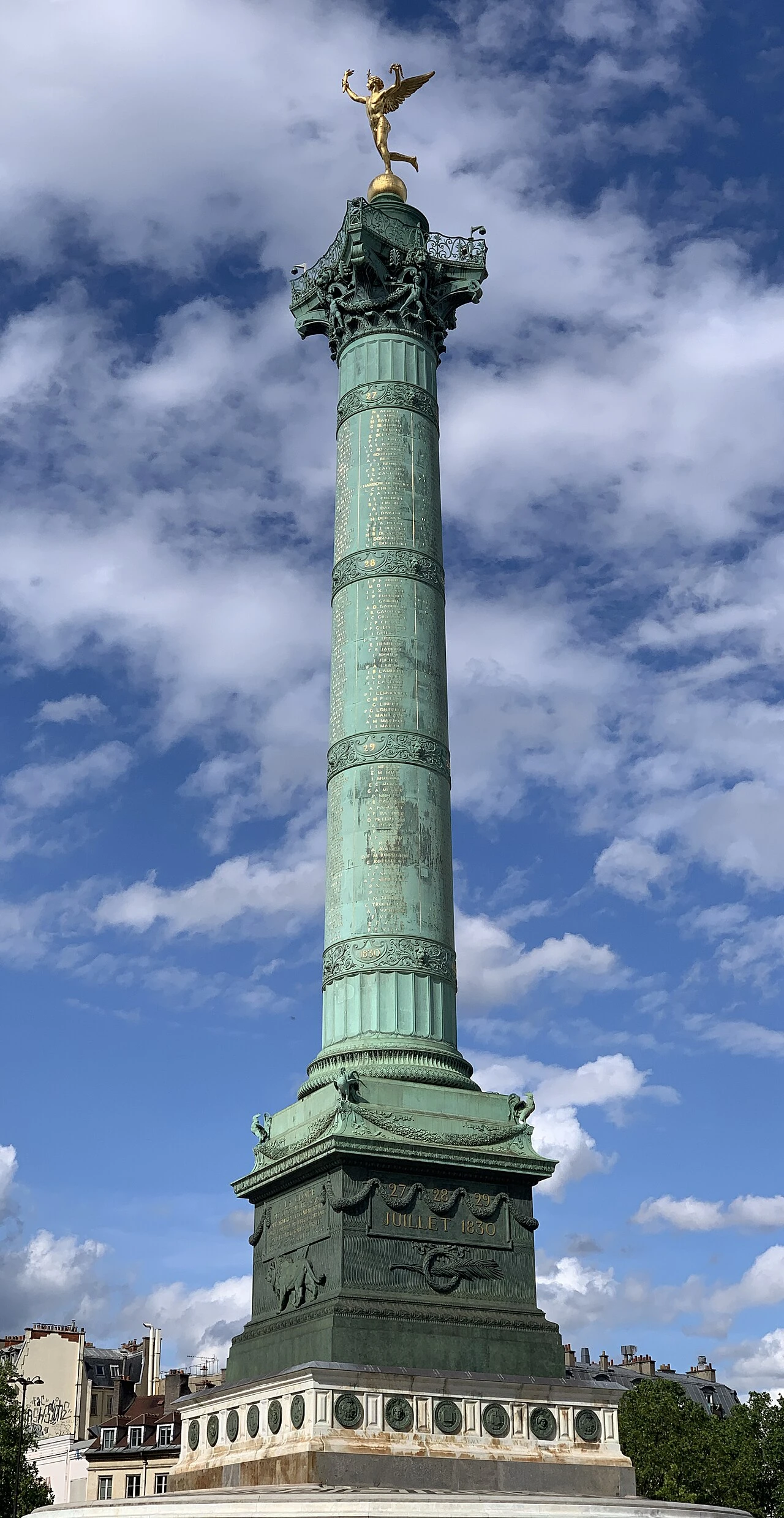
Place de la Bastille & Colonne de Juillet
Paris•monuments
1789 (Storming) - 1840 (Column)
48.8532°N, 2.3698°E

Place de la Bastille & Colonne de Juillet

Birthplace of the French Revolution crowned by the golden Genius of Liberty

Site of the medieval Bastille fortress prison stormed by revolutionaries on July 14, 1789, marking the start of the French Revolution. The 50-meter Colonne de Juillet was erected in 1840 to commemorate the 1830 July Revolution.

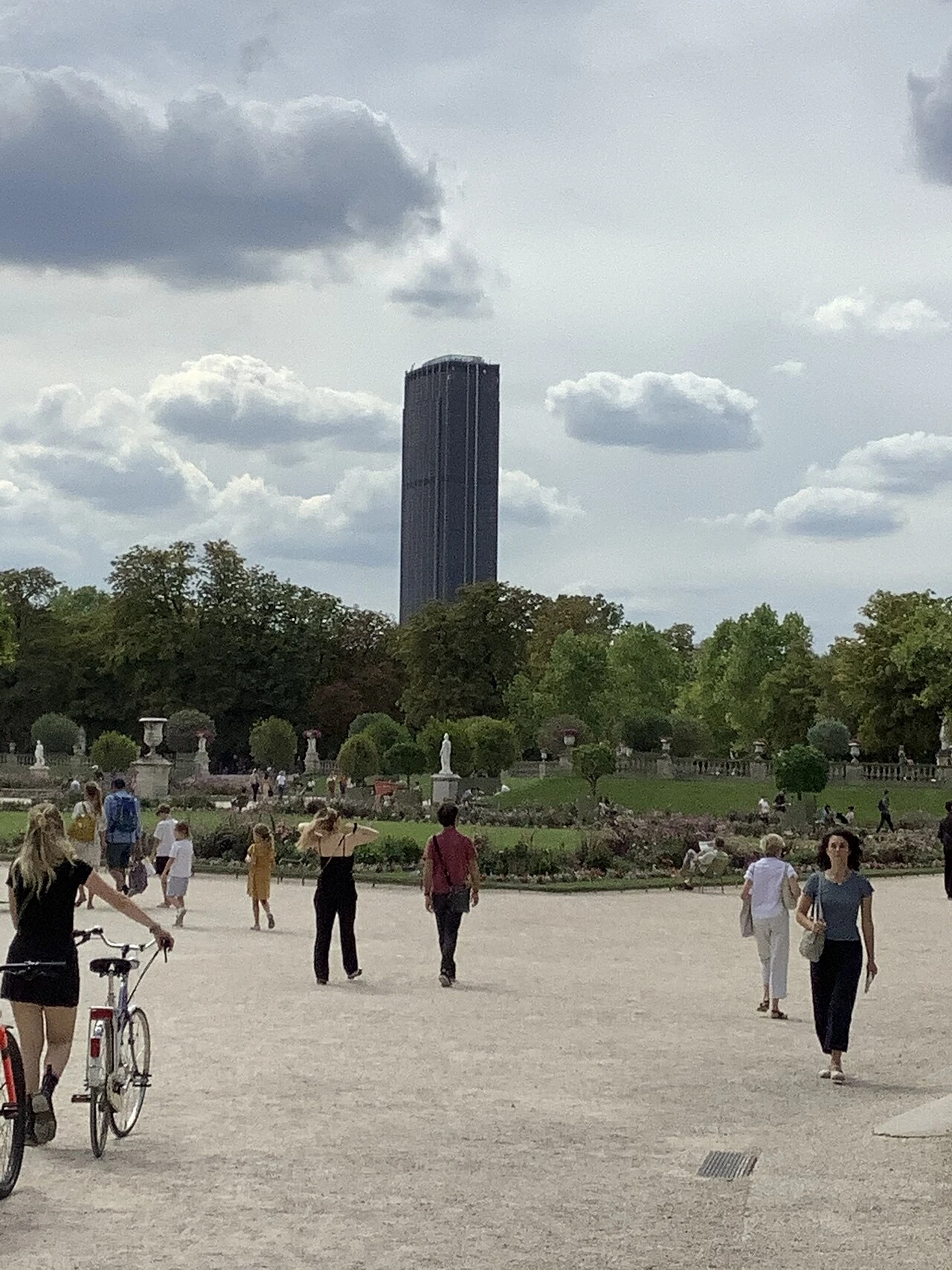
Tour Montparnasse & Rooftop 360
Paris•monuments
1969 - 1973
48.8421°N, 2.3219°E

Tour Montparnasse & Rooftop 360

210-meter skyscraper offering the highest open-air panoramic observatory in Paris

Constructed between 1969 and 1973 by architects Eugène Beaudouin, Urbain Cassan, and Louis Hoym de Marien. Rising 210 meters (59 stories), it was the tallest skyscraper in France for decades.

Canal Saint-Martin
Paris•maritime
1802 - 1825
48.8718°N, 2.3662°E

Canal Saint-Martin

Romantic 1825 waterway with iron footbridges, double locks, and tree-lined quays

Commissioned in 1802 by Napoleon Bonaparte to supply Paris with fresh drinking water and grain via the Ourcq River, inaugurated in 1825. Extends 4.5 kilometers from the Bassin de la Villette to the Seine.

Île Saint-Louis & Quai d'Anjou
Paris•neighborhoods
1614 - 1664
48.8519°N, 2.3564°E

Île Saint-Louis & Quai d'Anjou

Aristocratic 17th-century island oasis on the Seine famous for noble mansions and Berthillon

Developed in the early 17th century under King Louis XIII by engineer Christophe Marie, merging two former pasture islets (Île aux Vaches and Île Notre-Dame) into a unified residential district.

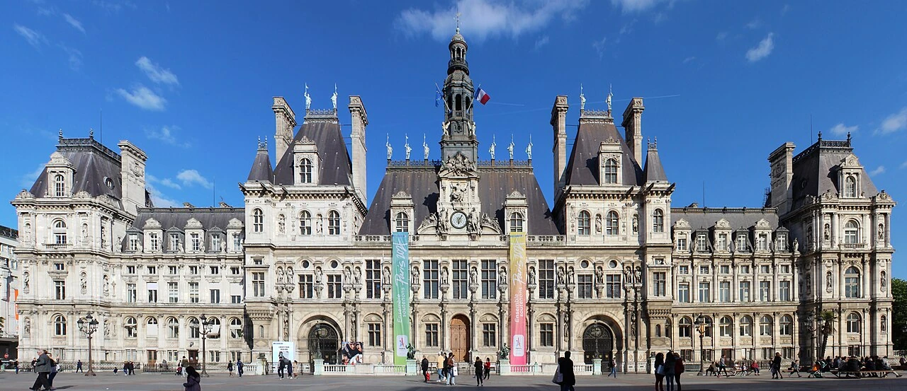
Hôtel de Ville de Paris
Paris•monuments
1357 (Site) - 1874-1882 (Rebuilt)
48.8564°N, 2.3524°E

Hôtel de Ville de Paris

Neo-Renaissance city hall with 338 statues celebrating illustrious Parisian figures

The seat of Paris municipality since 1357 when Étienne Marcel purchased the 'Maison aux Piliers'. The historic Renaissance palace was burned down in 1871 during the Paris Commune and rebuilt between 1874 and 1882 by architects Théodore Ballu and Édouard Deperthes.

Musée Marmottan Monet
Paris•museums
1882 (Estate) - 1934 (Museum opened)
48.8593°N, 2.2673°E

Musée Marmottan Monet

World's largest collection of Claude Monet works including Impression, Sunrise

Originally an Empire-style hunting lodge belonging to the Duke of Valmy, purchased by Jules Marmottan in 1882. Bequeathed to the Académie des Beaux-Arts in 1932. Expanded with major donations from Claude Monet's son Michel in 1966.

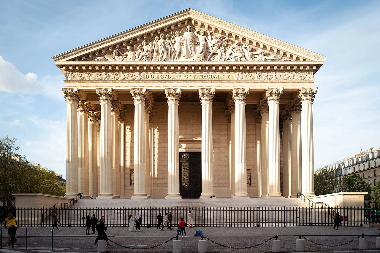
Église de la Madeleine
Paris•spiritual
1763 - 1842
48.8700°N, 2.3247°E

Église de la Madeleine

Monumental Neoclassical Greek temple with 52 Corinthian columns dedicated to the Grande Armée

Commissioned in 1806 by Emperor Napoleon Bonaparte as a Temple to the Glory of the Grande Armée, designed by Pierre-Alexandre Vignon in the form of a classical Roman temple (like the Maison Carrée in Nîmes). Consecrated as a church in 1842.

Église Saint-Sulpice
Paris•spiritual
1646 - 1788
48.8511°N, 2.3347°E

Église Saint-Sulpice

Second largest church in Paris featuring Delacroix frescoes and the astronomical gnomon line

Constructed over 130 years (1646–1788) by architects including Christophe Gamard, Louis Le Vau, and Gilles-Marie Oppenord. The monumental West facade with twin asymmetric towers was designed by Giovanni Niccolò Servandoni.

Cité des Sciences et de l'Industrie & La Géode
Paris•museums
1980 - 1986
48.8956°N, 2.3881°E

Cité des Sciences et de l'Industrie & La Géode

Europe's largest science museum featuring the 36-meter mirrored geodesic sphere in Parc de la Villette

Created by President François Mitterrand on the site of the former slaughterhouse halls of Paris, designed by architect Adrien Fainsilber and inaugurated on March 13, 1986, the night Giotto probe intercepted Halley's Comet.

Philharmonie de Paris & Cité de la Musique
Paris•monuments
2010 - 2015
48.8919°N, 2.3942°E

Philharmonie de Paris & Cité de la Musique

Jean Nouvel's aluminum wave acoustic concert hall and musical instrument museum

Designed by Jean Nouvel and inaugurated in January 2015. Home to the Orchestre de Paris and the Musée de la Musique with over 1,000 historic instruments including Stradivarius violins.

Opéra Bastille
Paris•monuments
1983 - 1989
48.8519°N, 2.3706°E

Opéra Bastille

Carlos Ott's monumental modern glass opera house commissioned for the 1989 Bicentennial

Commissioned by President François Mitterrand as a 'modern and popular' opera house for all citizens. Designed by Uruguayan-Canadian architect Carlos Ott and inaugurated on July 13, 1989, on the bicentennial of the French Revolution.

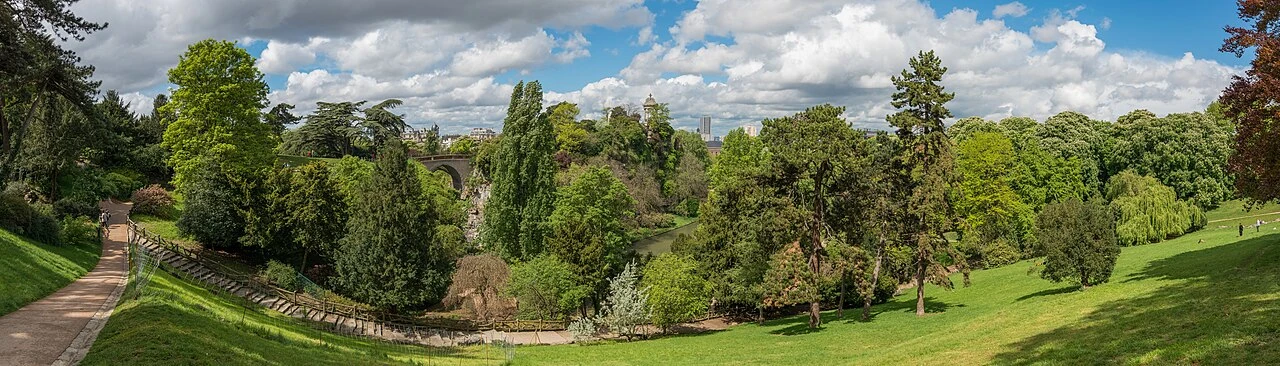
Parc des Buttes-Chaumont
Paris•parks
1864 - 1867
48.8809°N, 2.3828°E

Parc des Buttes-Chaumont

Romantic landscape park with dramatic cliffs, waterfalls, suspension bridge, and Temple de la Sibylle

Created by Baron Haussmann and engineer Jean-Charles Alphand for the 1867 Universal Exposition, transforming a barren gypsum quarry and refuse dump into a romantic English landscape masterwork.

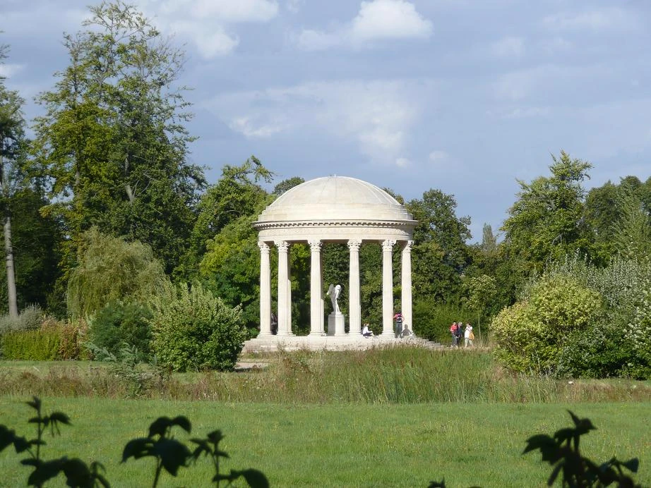
Parc Monceau
Paris•parks
1778 - 1861 (Haussmann)
48.8796°N, 2.3089°E

Parc Monceau

18th-century garden of architectural follies with Corinthian colonnade and Egyptian pyramid

Commissioned in 1778 by Louis Philippe d'Orléans, Duke of Chartres, and designed by painter-writer Louis Carrogis Carmontelle as a 'land of illusions' featuring eclectic architectural follies from around the world.

Arènes de Lutèce
Paris•monuments
1st Century AD - 1869 (Rediscovered)
48.8450°N, 2.3531°E

Arènes de Lutèce

1st-century Roman amphitheater preserved in the Latin Quarter seating 15,000 spectators

Constructed in the 1st century AD during the Gallo-Roman era when Paris was known as Lutèce (Lutetia). Unearthed in 1869 during road excavations and saved from destruction by a public petition led by author Victor Hugo.

Grande Mosquée de Paris
Paris•spiritual
1922 - 1926
48.8419°N, 2.3550°E

Grande Mosquée de Paris

Hispano-Moresque oasis with 33-meter minaret, cedar mosaics, and WWII resistance haven

Constructed between 1922 and 1926 as a national tribute to the 100,000 Muslim soldiers who died fighting for France during World War I. Inaugurated by President Gaston Doumergue and Sultan Moulay Youssef of Morocco.

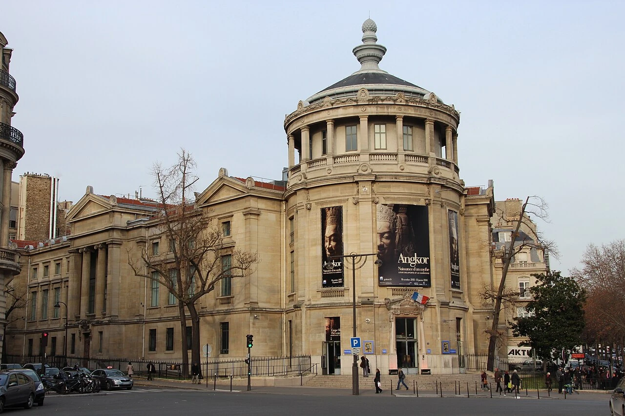
Musée National des Arts Asiatiques – Guimet
Paris•museums
1879 - 1889
48.8650°N, 2.2936°E

Musée National des Arts Asiatiques – Guimet

One of the largest collections of Asian art outside Asia, Khmer sculptures and Silk Road relics

Founded in Lyon in 1879 by industrialist Émile Guimet and transferred to Paris in 1889. Houses over 60,000 treasures spanning five millennia of Asian civilization from India and Southeast Asia to China and Japan.

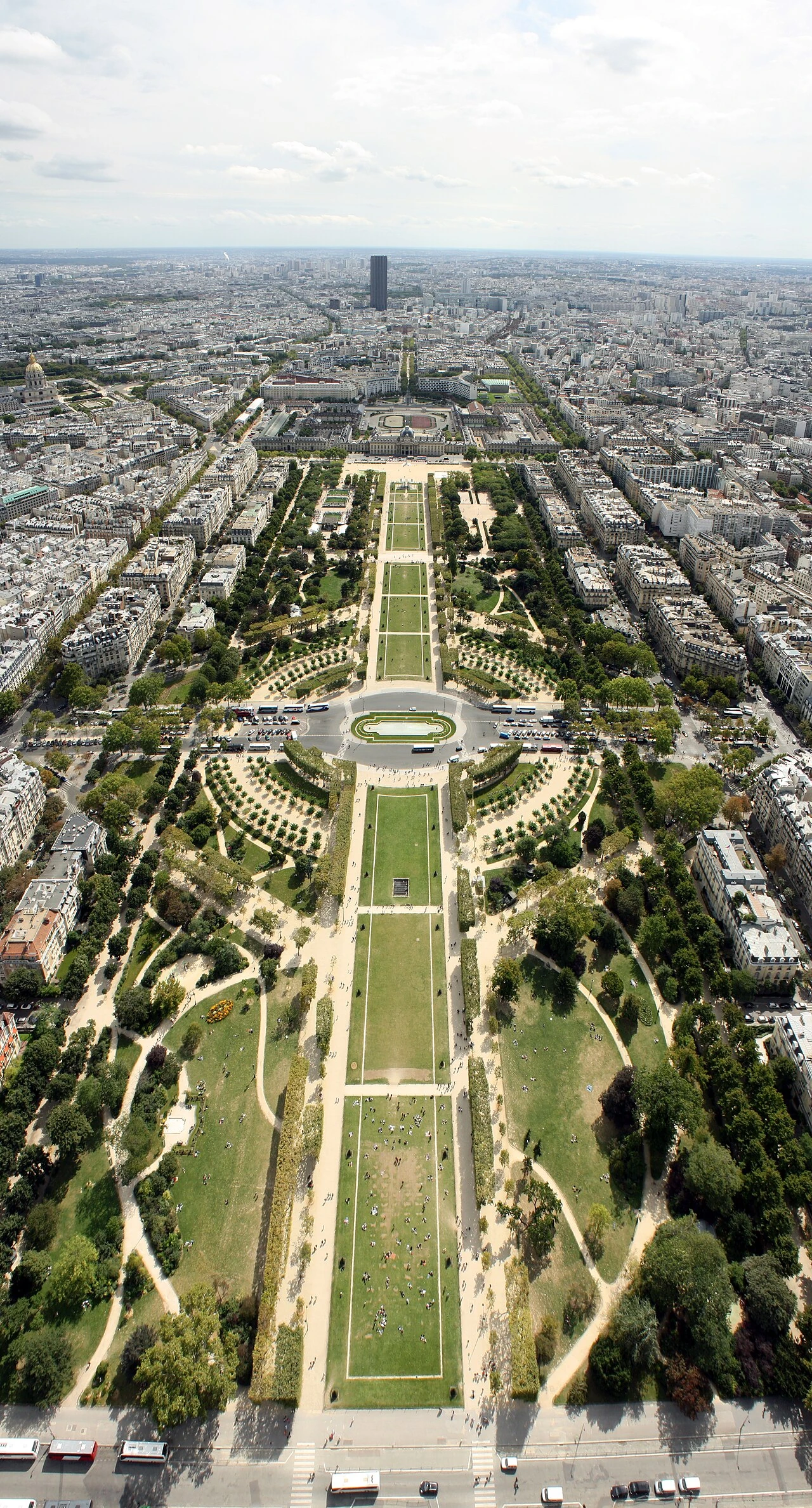
Champ de Mars & Mur pour la Paix
Paris•parks
1765 - Present
48.8556°N, 2.2986°E

Champ de Mars & Mur pour la Paix

Vast historic military parade grounds turned public green esplanade framing the Eiffel Tower

Created in 1765 as a military parade ground for the cadets of the École Militaire, named after Mars, the Roman god of war. Site of major World Fairs and the historic Fête de la Fédération on July 14, 1790.

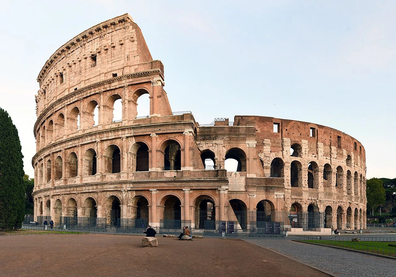
Colosseo (Flavian Amphitheatre)
Rome•monuments
72 AD - 80 AD
41.8902°N, 12.4922°E

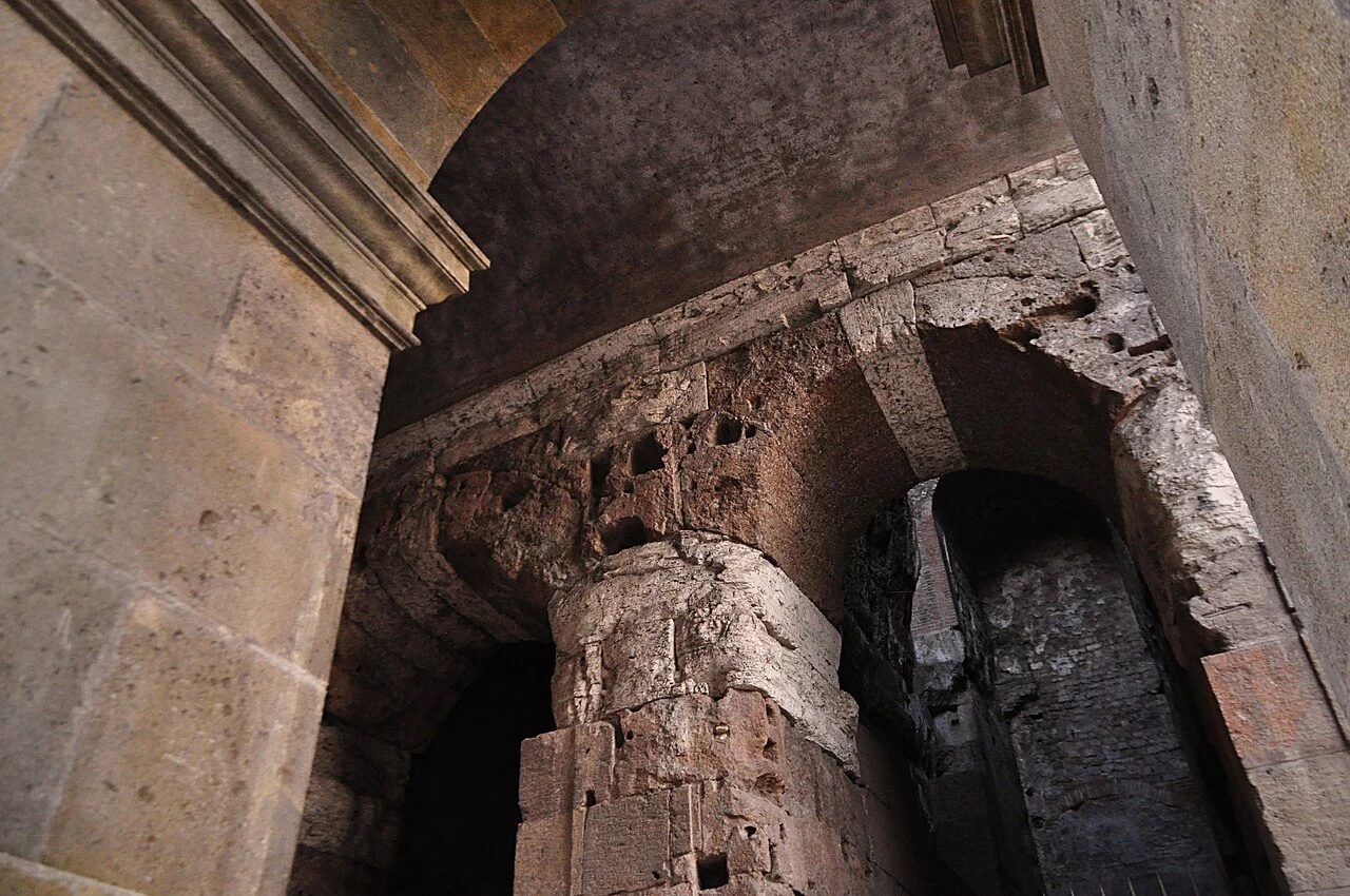
Colosseo (Flavian Amphitheatre)

Monumental stadium of ancient Rome and pinnacle of imperial engineering

Commissioned around 70-72 AD by Emperor Vespasian and completed in 80 AD under Titus. Accommodated over 50,000 spectators for gladiatorial games.

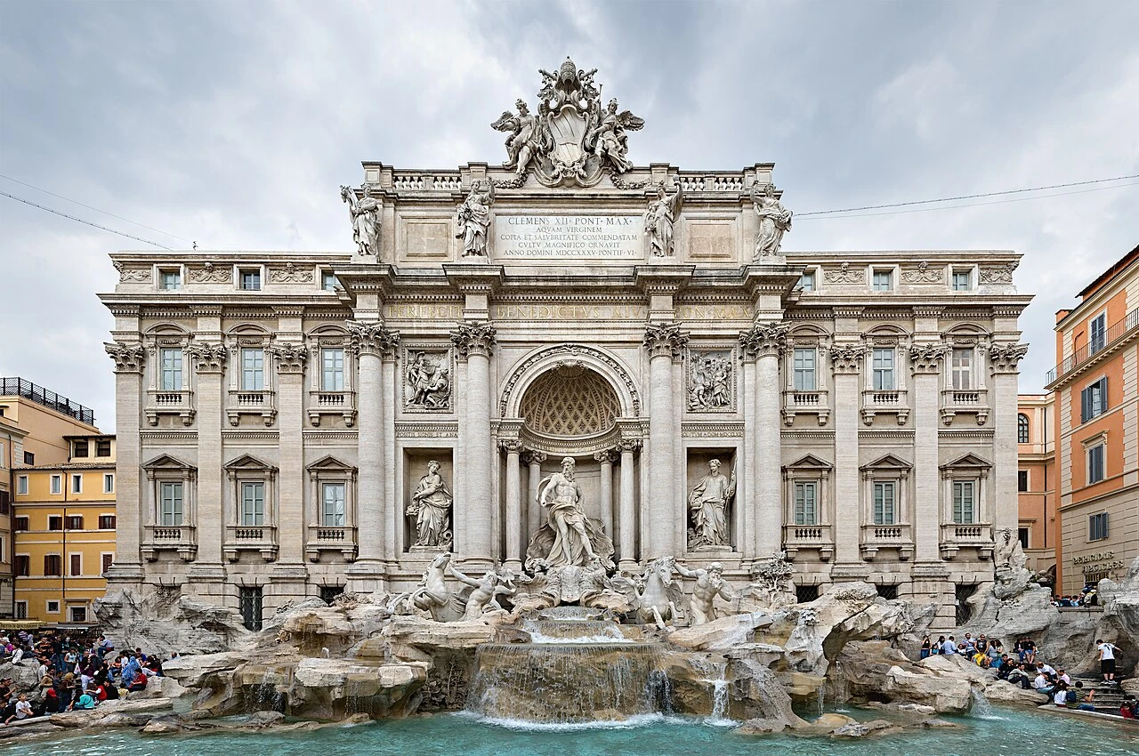
Fontana di Trevi
Rome•monuments
1732 - 1762
41.9009°N, 12.4833°E

Fontana di Trevi

Baroque masterwork of stone and water celebrating Oceanus and Aqua Virgo

Designed by Nicola Salvi and completed in 1762. Marks the terminal point of the ancient Acqua Vergine aqueduct built in 19 BC by Marcus Agrippa.

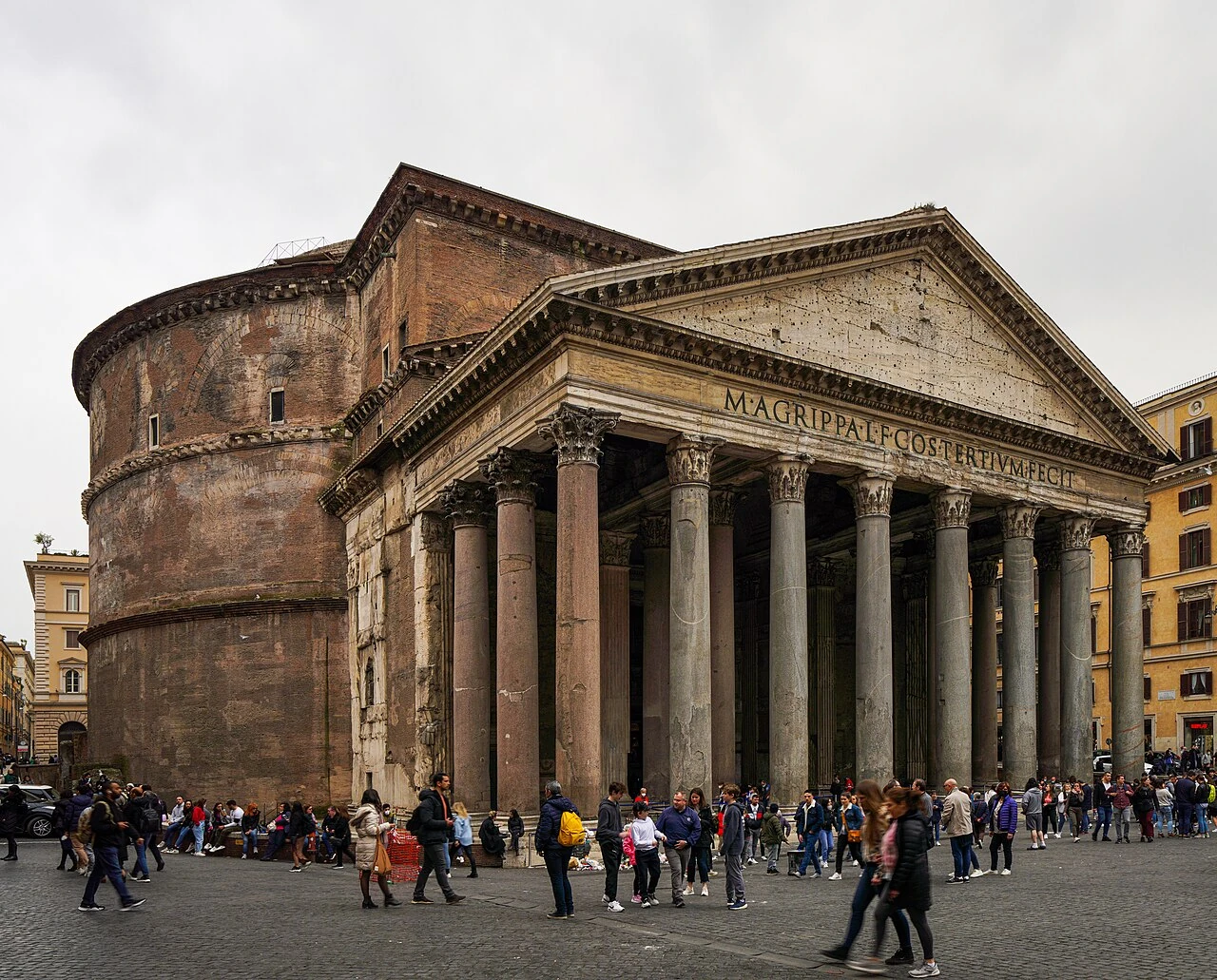
Pantheon (Santa Maria ad Martyres)
Rome•monuments
118 AD - 125 AD
41.8986°N, 12.4769°E

Pantheon (Santa Maria ad Martyres)

Unreinforced concrete dome marvel preserving two millennia of Roman engineering

Built by Marcus Agrippa in 27 BC and completely rebuilt by Emperor Hadrian around 125 AD. Converted into a Christian church in 609 AD by Pope Boniface IV.

Basilica di San Pietro in Vaticano
Rome•spiritual
1506 - 1626
41.9022°N, 12.4539°E

Basilica di San Pietro in Vaticano

The epicenter of Western Christendom crowned by Michelangelo's monumental dome

Constructed between 1506 and 1626 over the 4th-century basilica of Emperor Constantine and the tomb of Saint Peter. Designed by Bramante, Michelangelo, Maderno, and Bernini.

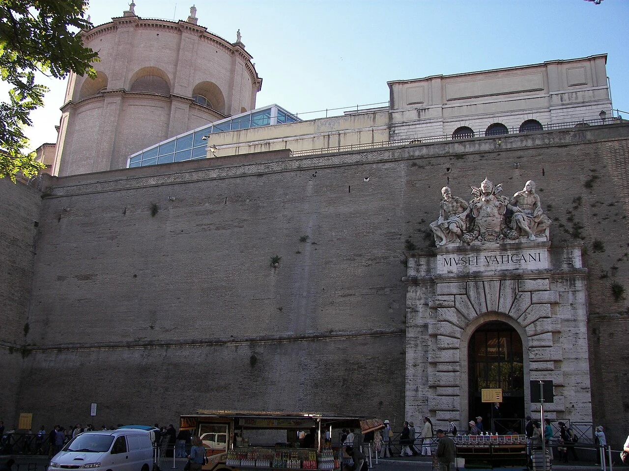
Musei Vaticani & Cappella Sistina
Rome•museums
1506 - Present
41.9065°N, 12.4536°E

Musei Vaticani & Cappella Sistina

Papal art treasury housing Michelangelo's Genesis and Last Judgment frescoes

Founded by Pope Julius II in the early 16th century following the rediscovery of the Laocoön sculpture. Spans 54 galleries holding 70,000 masterworks.

Foro Romano & Palatino
Rome•monuments
8th Century BC - 4th Century AD
41.8925°N, 12.4853°E

Foro Romano & Palatino

Civic and political heart of the ancient Roman Empire and birthplace of the city

The marshy valley between the Palatine and Capitoline Hills was drained in the 6th century BC by the Cloaca Maxima, becoming the religious and political hub of the Roman world.

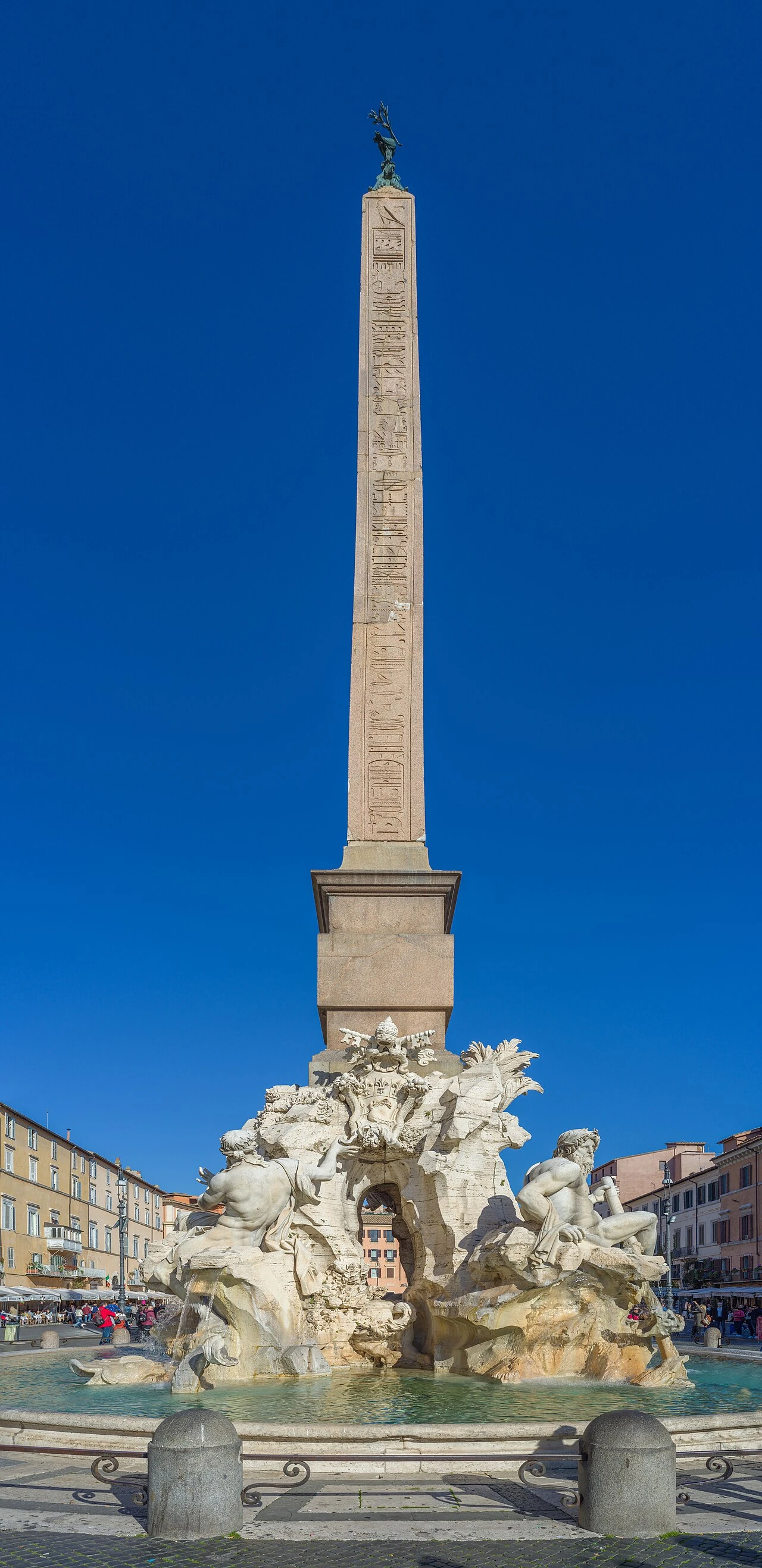
Piazza Navona & Fontana dei Quattro Fiumi
Rome•monuments
86 AD (Stadium) - 1651 (Bernini Fountain)
41.8992°N, 12.4731°E

Piazza Navona & Fontana dei Quattro Fiumi

Baroque stadium plaza featuring Bernini's Four Rivers Fountain and Borromini church

Built over the 1st-century Stadium of Domitian (Circus Agonalis). Transformed into a Baroque public showcase under Pope Innocent X Pamphilj in the 17th century.

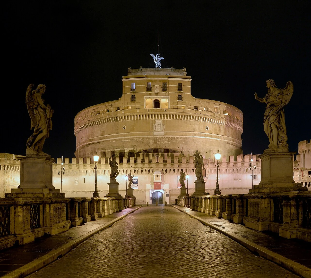
Castel Sant'Angelo (Mausoleo di Adriano)
Rome•monuments
135 AD - 139 AD (Fortified 14th-17th Century)
41.9031°N, 12.4663°E

Castel Sant'Angelo (Mausoleo di Adriano)

Imperial Roman mausoleum converted into a fortified papal fortress on the Tiber

Commissioned by Emperor Hadrian in 135 AD as his family mausoleum and completed in 139 AD. Converted in the Middle Ages into a papal castle and military citadel.

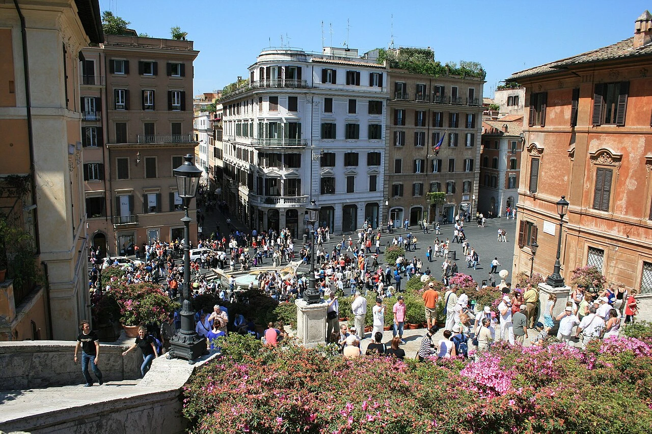
Piazza di Spagna & Scalinata di Trinità dei Monti
Rome•monuments
1723 - 1725
41.9060°N, 12.4828°E

Piazza di Spagna & Scalinata di Trinità dei Monti

Monumental 135-step Baroque staircase linking the Piazza to Trinità dei Monti

Designed by Francesco de Sanctis and Alessandro Specchi, constructed between 1723 and 1725. Financed by French diplomat Étienne Gueffier to link the Bourbon Spanish embassy to the French church.

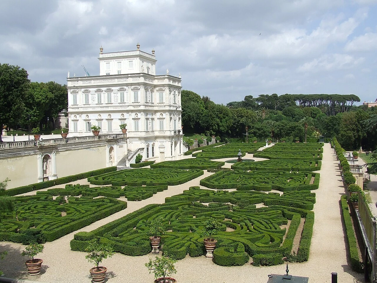
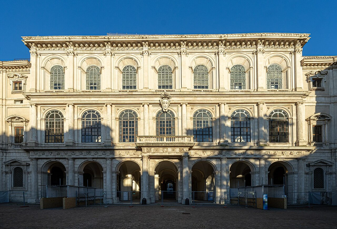
Galleria Borghese & Villa Borghese
Rome•museums
1613 - 1616
41.9142°N, 12.4922°E

Galleria Borghese & Villa Borghese

Cardinal Scipione Borghese's palatial villa housing Bernini sculptures and Caravaggio masterworks

Commissioned in the early 17th century by Cardinal Scipione Borghese, nephew of Pope Paul V, and designed by Flaminio Ponzio. Houses world-renowned masterpieces by Bernini, Caravaggio, Titian, and Canova.

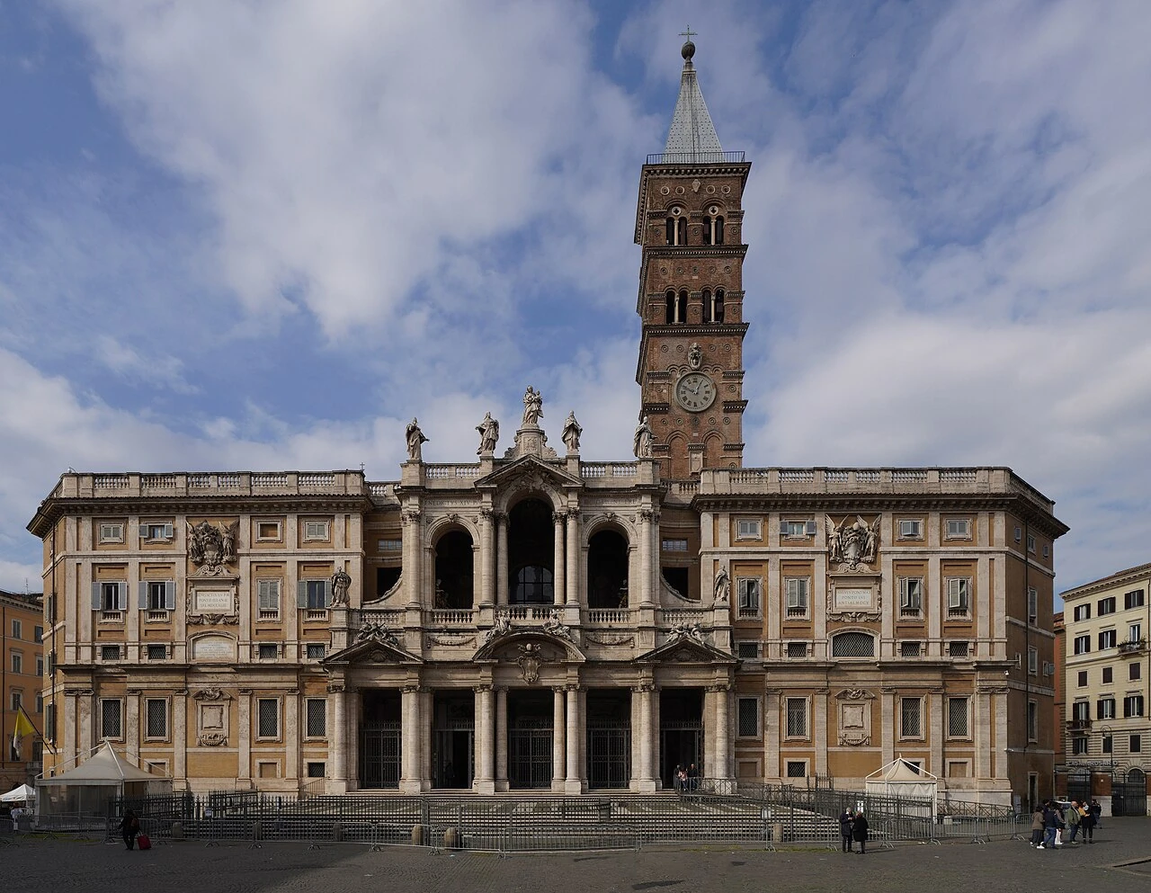
Basilica di Santa Maria Maggiore
Rome•spiritual
5th Century AD
41.8976°N, 12.4984°E

Basilica di Santa Maria Maggiore

Papal major basilica with 5th-century Christian mosaics and gold coffered ceiling

Founded in 432 AD after the Council of Ephesus.

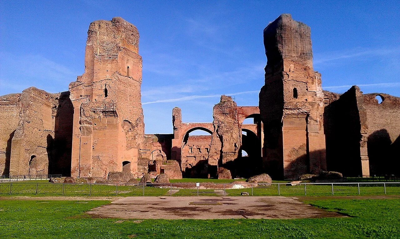
Terme di Caracalla
Rome•monuments
212 AD - 216 AD
41.8799°N, 12.4925°E

Terme di Caracalla

Colossal imperial Roman public thermal baths complex

Inaugurated in 216 AD by Emperor Caracalla for 1,600 simultaneous bathers.

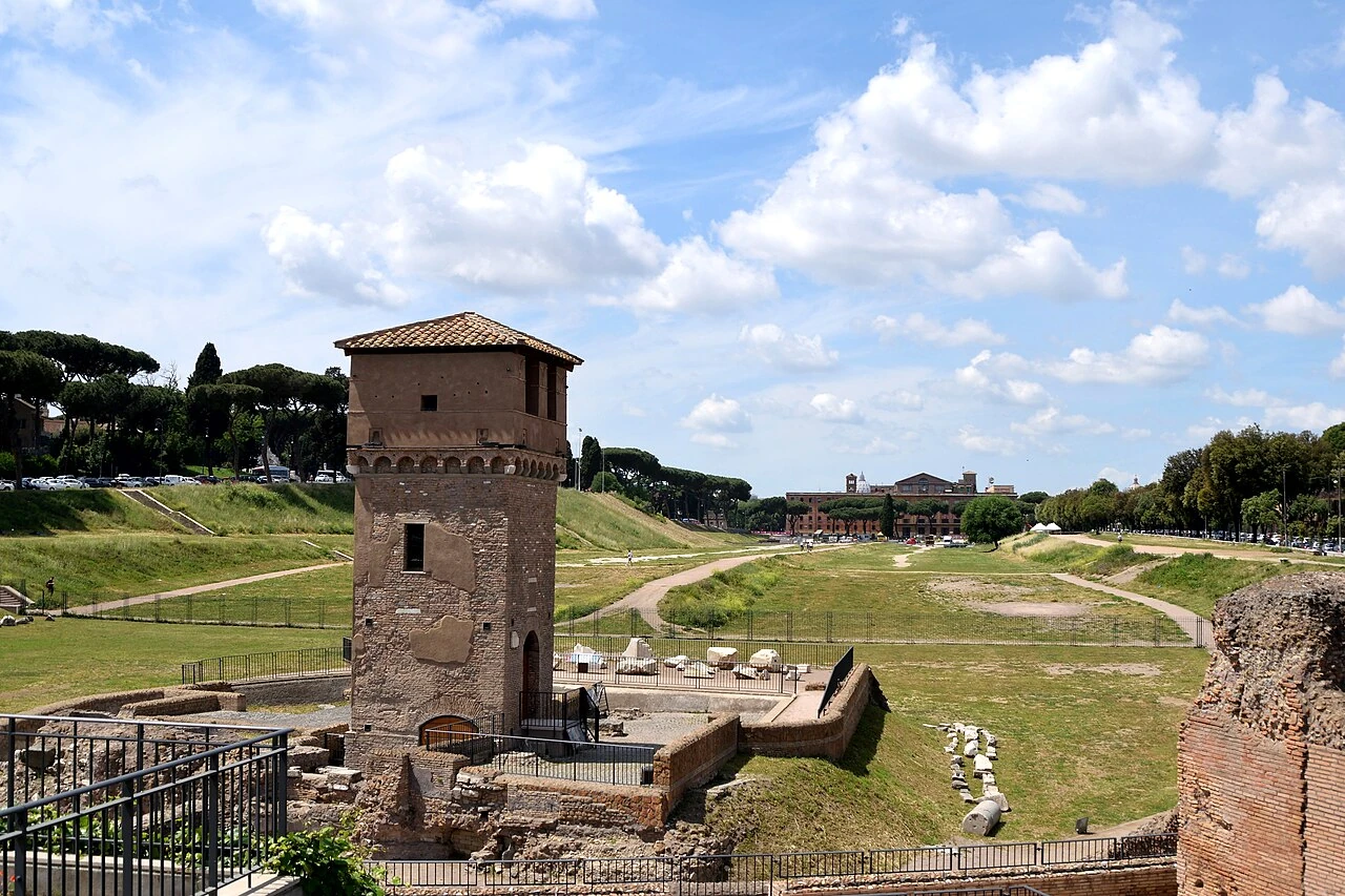
Circo Massimo & Belvedere Romolo e Remo
Rome•monuments
6th Century BC
41.8860°N, 12.4855°E

Circo Massimo & Belvedere Romolo e Remo

Ancient chariot racing stadium holding 250,000 spectators

First and largest stadium in ancient Rome located in the valley between Aventine and Palatine.

Trastevere & Santa Maria in Trastevere
Rome•neighborhoods
3rd - 12th Century
41.8894°N, 12.4705°E

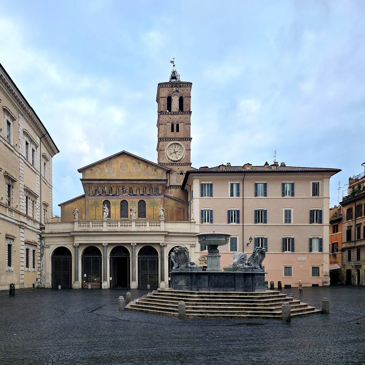
Trastevere & Santa Maria in Trastevere

Bohemian cobblestone quarter and Rome's oldest church dedicated to the Virgin Mary

Preserves ancient medieval alleyways and 12th-century golden mosaics by Cavallini.

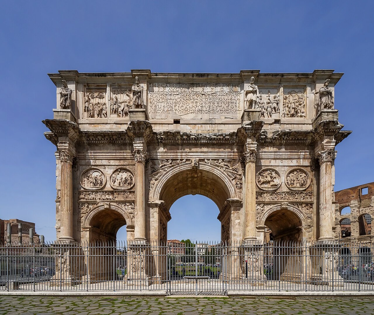
Arco di Costantino
Rome•monuments
315 AD
41.8898°N, 12.4907°E

Arco di Costantino

Monumental 4th-century triumphal arch celebrating the Battle of Milvian Bridge

Dedicated in 315 AD, famous for spolia reliefs from Trajan, Hadrian, and Marcus Aurelius.

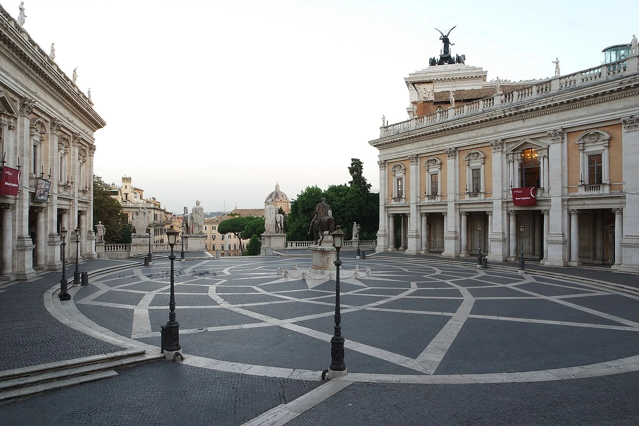
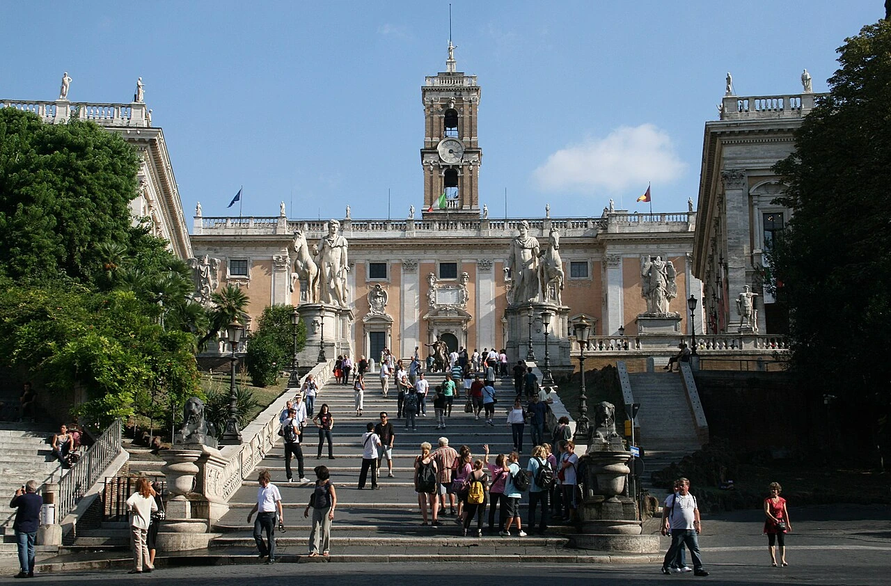
Musei Capitolini & Piazza del Campidoglio
Rome•museums
1471 - Present
41.8931°N, 12.4828°E

Musei Capitolini & Piazza del Campidoglio

World's oldest public museum founded in 1471 atop Michelangelo's trapezoidal piazza

Houses the Capitoline She-Wolf, Dying Gaul, and equestrian bronze of Marcus Aurelius.

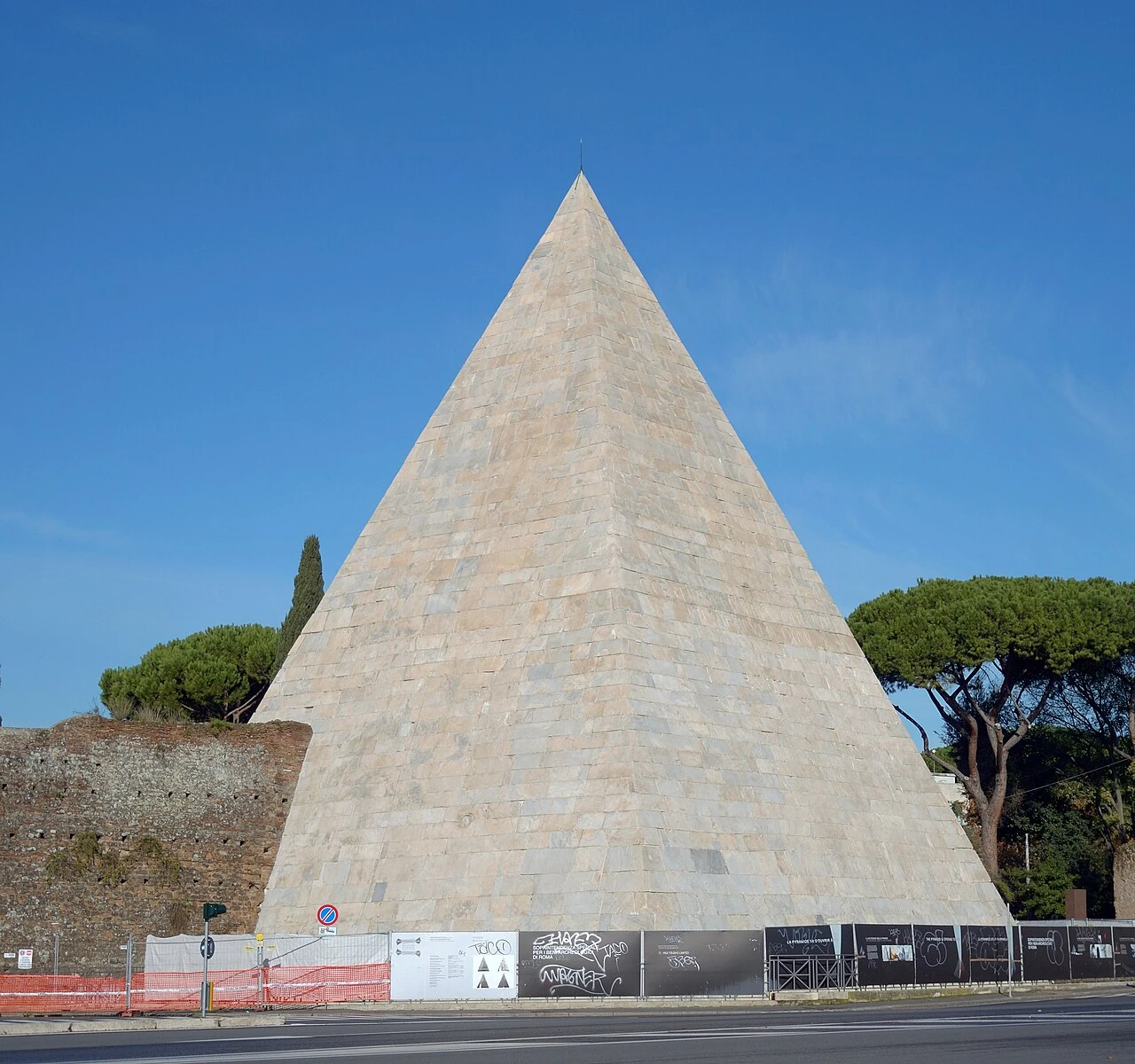
Piramide Cestia & Protestant Cemetery
Rome•monuments
18 BC - 12 BC
41.8764°N, 12.4808°E

Piramide Cestia & Protestant Cemetery

Ancient 36-meter Roman Egyptian pyramid tomb and resting place of Keats and Shelley

Built in 12 BC for magistrate Gaius Cestius clad in white Carrara marble.

Terme di Diocleziano & Aula Ottagona
Rome•monuments
298 AD - 306 AD
41.9031°N, 12.4984°E

Terme di Diocleziano & Aula Ottagona

Largest imperial bath complex in ancient Rome converted by Michelangelo into a basilica

Could accommodate 3,000 bathers simultaneously across 13 hectares.

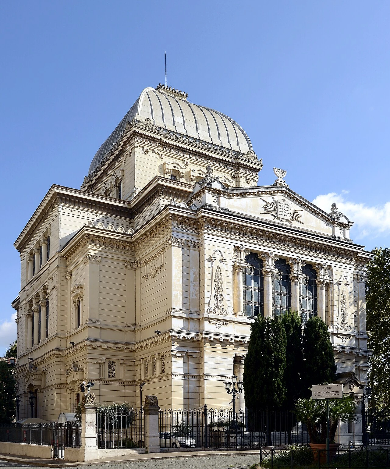
Ghetto Ebraico di Roma & Portico d'Ottavia
Rome•neighborhoods
1555 - 1870
41.8922°N, 12.4778°E

Ghetto Ebraico di Roma & Portico d'Ottavia

Oldest Jewish community in Europe established in 1555 near Roman classical ruins

Rich culinary heritage (Carciofi alla Giudia) and historic Tempio Maggiore synagogue.

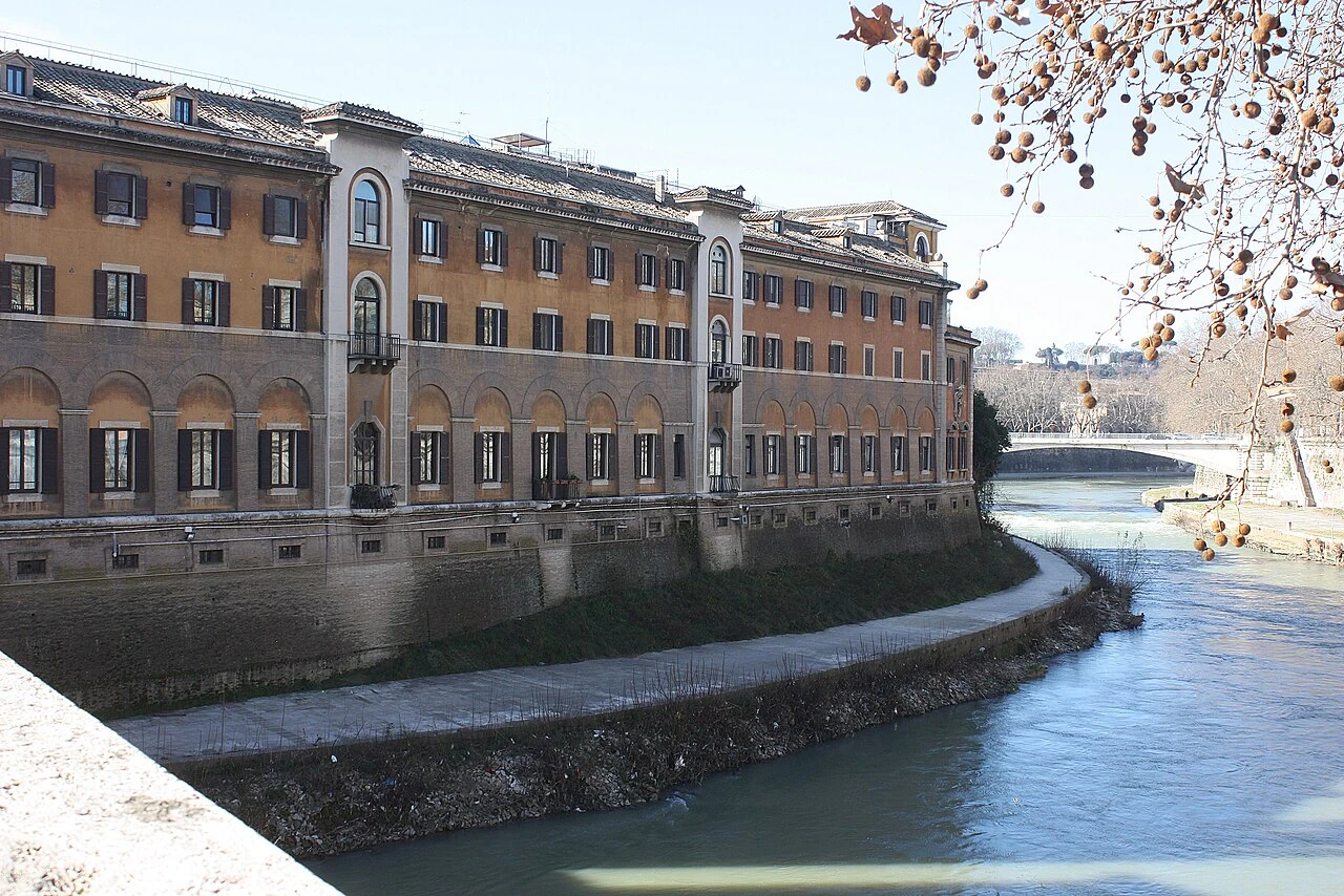
Isola Tiberina & Ponte Fabricio
Rome•maritime
293 BC - Present
41.8903°N, 12.4781°E

Isola Tiberina & Ponte Fabricio

Ancient boat-shaped island in the Tiber dedicated to healing and medicine since 293 BC

Connected by Ponte Fabricio (62 BC), the oldest original bridge surviving in Rome.

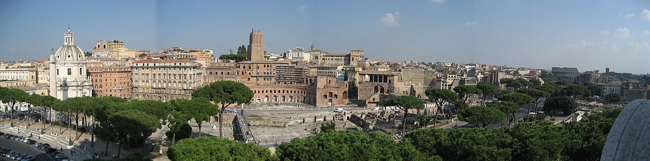
Mercati di Traiano & Foro di Traiano
Rome•monuments
107 AD - 113 AD
41.8956°N, 12.4850°E

Mercati di Traiano & Foro di Traiano

World's first multi-level shopping arcade complex and Trajan's Column

Engineered by Apollodorus of Damascus in 110 AD into the Quirinal hillside.

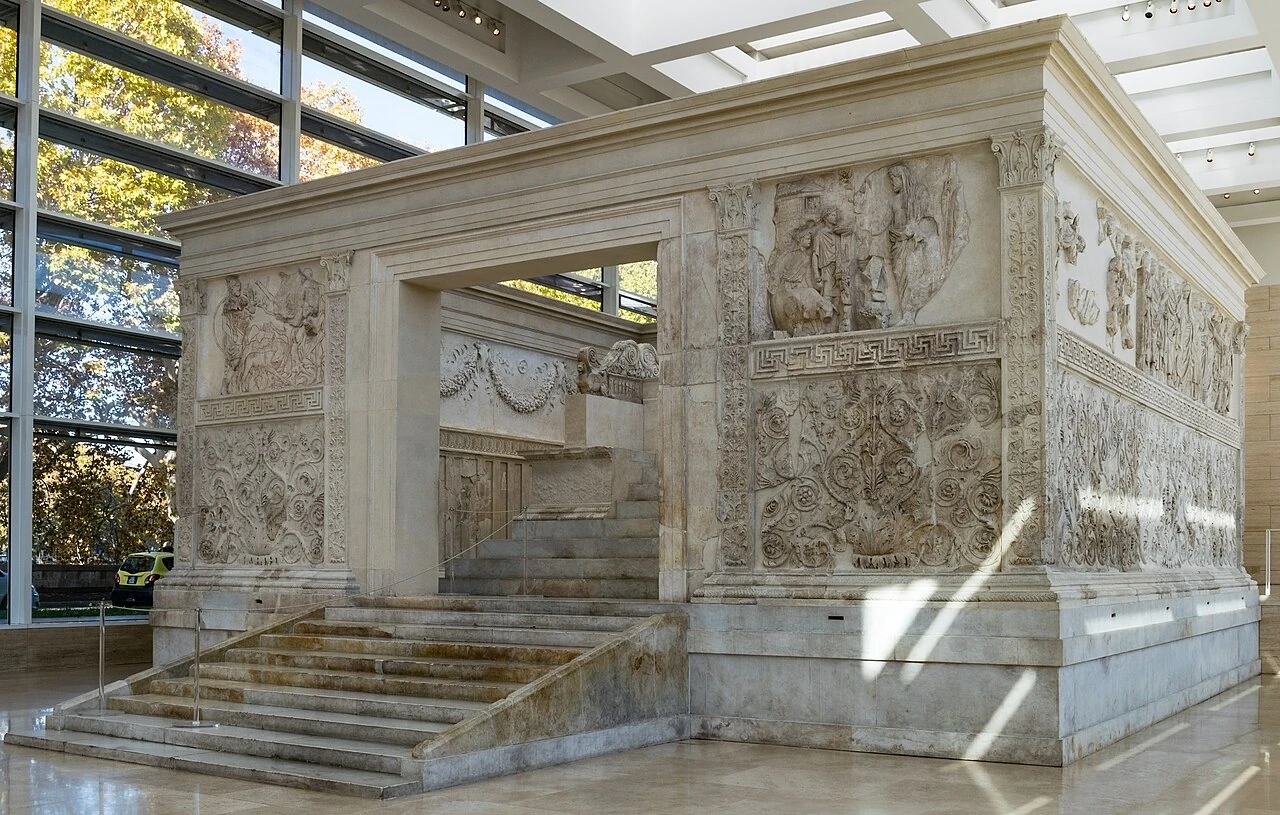
Ara Pacis Augustae & Richard Meier Museum
Rome•museums
13 BC - 9 BC
41.9061°N, 12.4756°E

Ara Pacis Augustae & Richard Meier Museum

Altar of Augustan Peace consecrated in 9 BC sheltered by Richard Meier's travertine pavilion

Masterpiece of Roman imperial relief sculpture depicting Augustus and family.

Villa Farnesina & Raphael Frescoes
Rome•museums
1506 - 1511
41.8936°N, 12.4678°E

Villa Farnesina & Raphael Frescoes

Renaissance suburban pleasure palace with Raphael's Triumph of Galatea

Built for banker Agostino Chigi, decorated with Cupid and Psyche loggia frescoes.

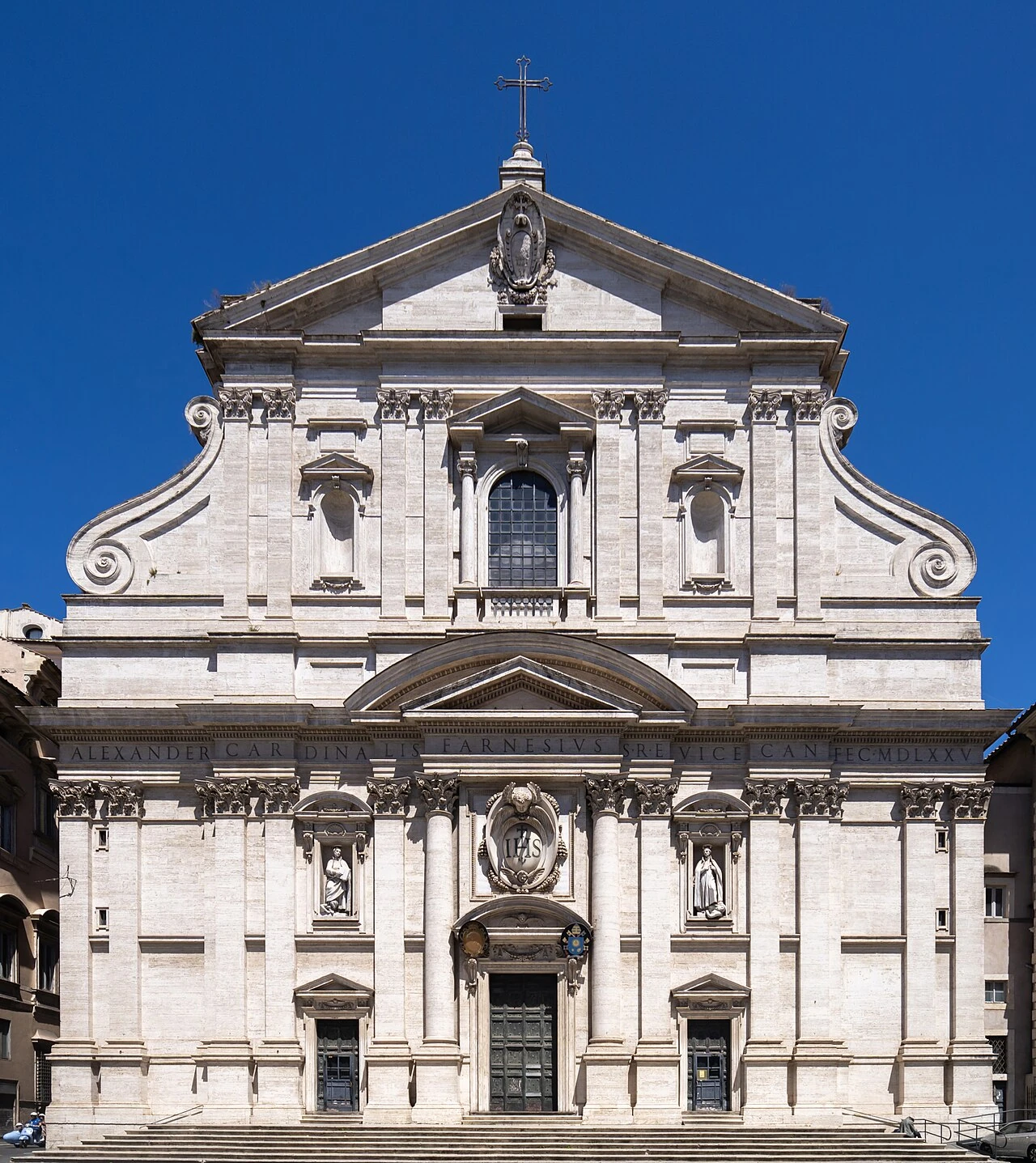
Chiesa di Sant'Ignazio di Loyola
Rome•spiritual
1626 - 1650
41.8992°N, 12.4797°E

Chiesa di Sant'Ignazio di Loyola

Baroque illusionist ceiling fresco by Andrea Pozzo featuring a fake painted dome

Spectacular trompe-l'œil quadratura perspective creating the illusion of soaring heavens.

Teatro di Marcello
Rome•monuments
13 BC
41.8919°N, 12.4797°E

Teatro di Marcello

Ancient open-air Roman theatre that served as the architectural model for the Colosseum

Dedicated by Augustus in 13 BC in memory of his nephew Marcellus.

Parco degli Acquedotti
Rome•parks
312 BC - 52 AD
41.8500°N, 12.5600°E

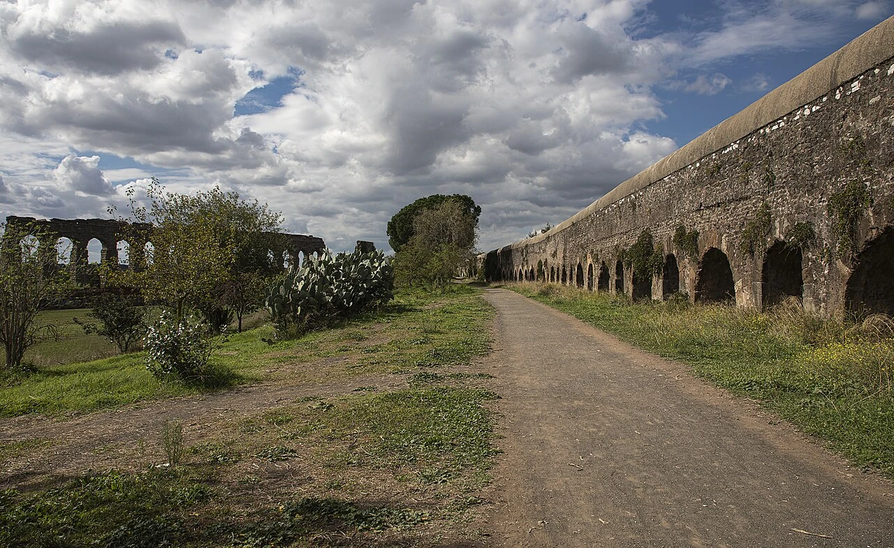
Parco degli Acquedotti

Vast rural park crossed by the soaring stone arches of Aqua Claudia and Aqua Marcia

Preserves 2,000-year-old hydraulic engineering across the Roman countryside.

Santa Sabina all'Aventino
Rome•spiritual
422 AD - 432 AD
41.8844°N, 12.4800°E

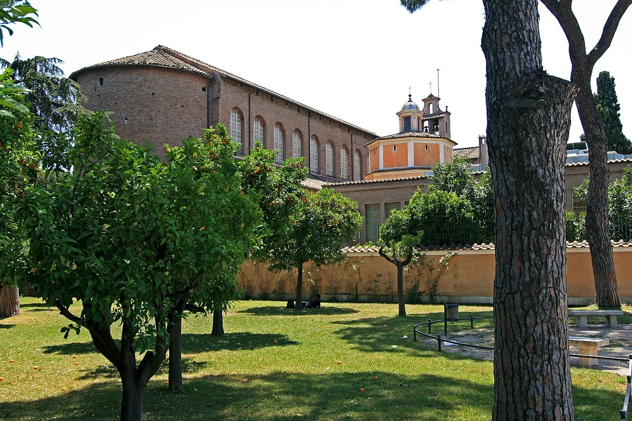
Santa Sabina all'Aventino

5th-century early Christian basilica with original 18-panel carved cypress wood doors

One of the best-preserved early Christian basilicas in the world with Roman marble fluted columns.

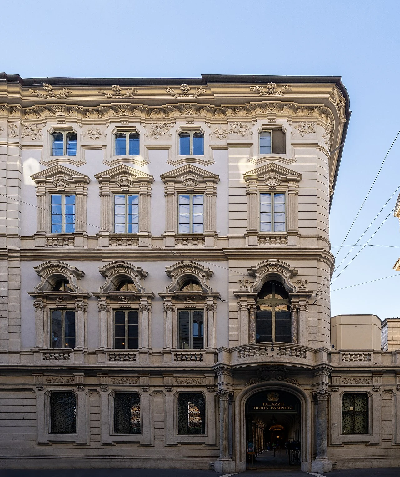
Palazzo Colonna & Great Hall
Rome•museums
14th - 18th Century
41.8969°N, 12.4858°E

Palazzo Colonna & Great Hall

One of the oldest and grandest private palaces in Rome with lavish Baroque Great Hall

Ancestral palace of the Colonna family spanning eight centuries.

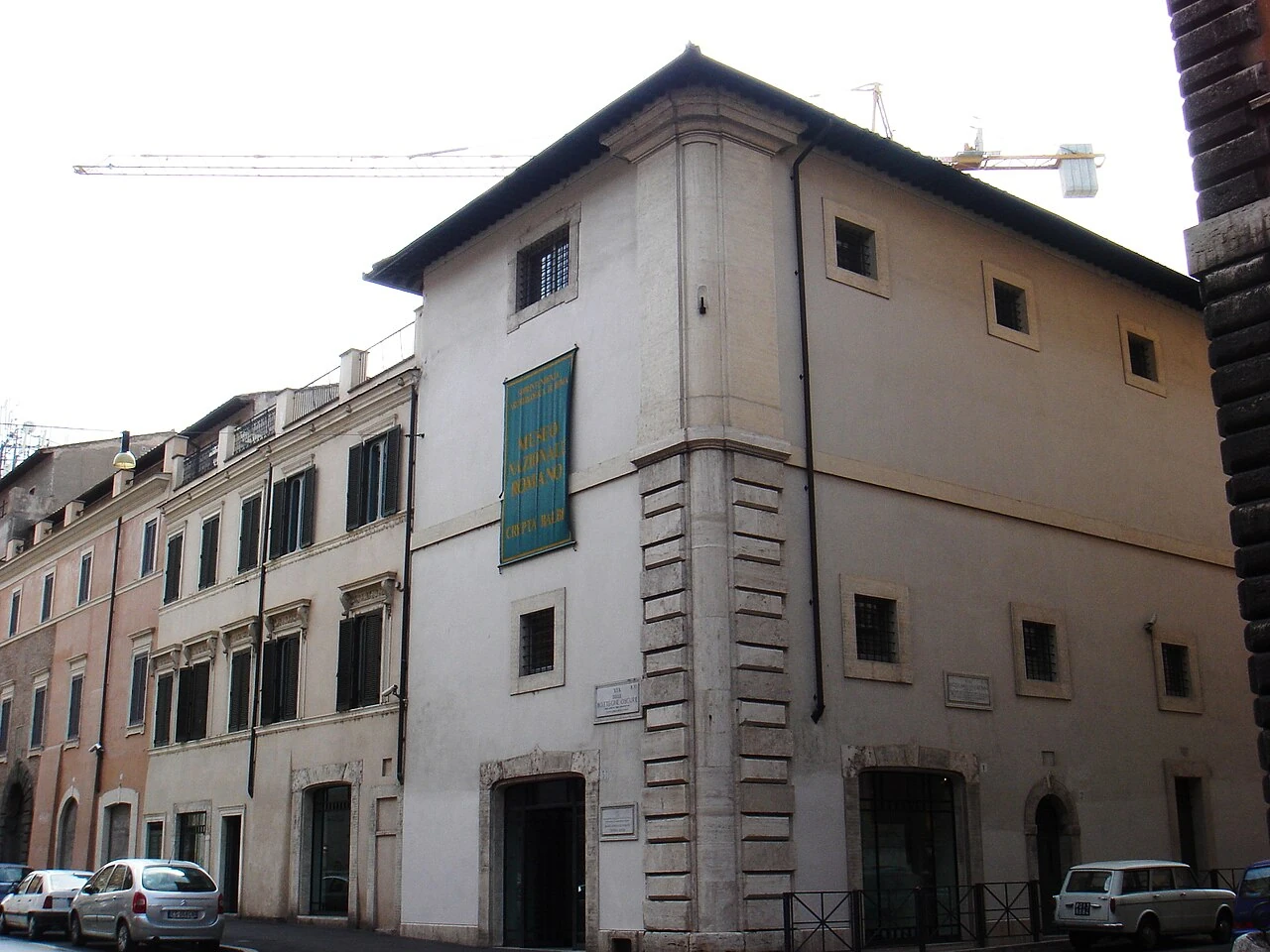
Crypta Balbi (National Roman Museum)
Rome•museums
13 BC - Modern
41.8939°N, 12.4783°E

Crypta Balbi (National Roman Museum)

Archaeological urban layer-cake documenting the transformation of Rome from Antiquity to Middle Ages

Built inside the ancient Roman theatre portico of Lucius Cornelius Balbus.

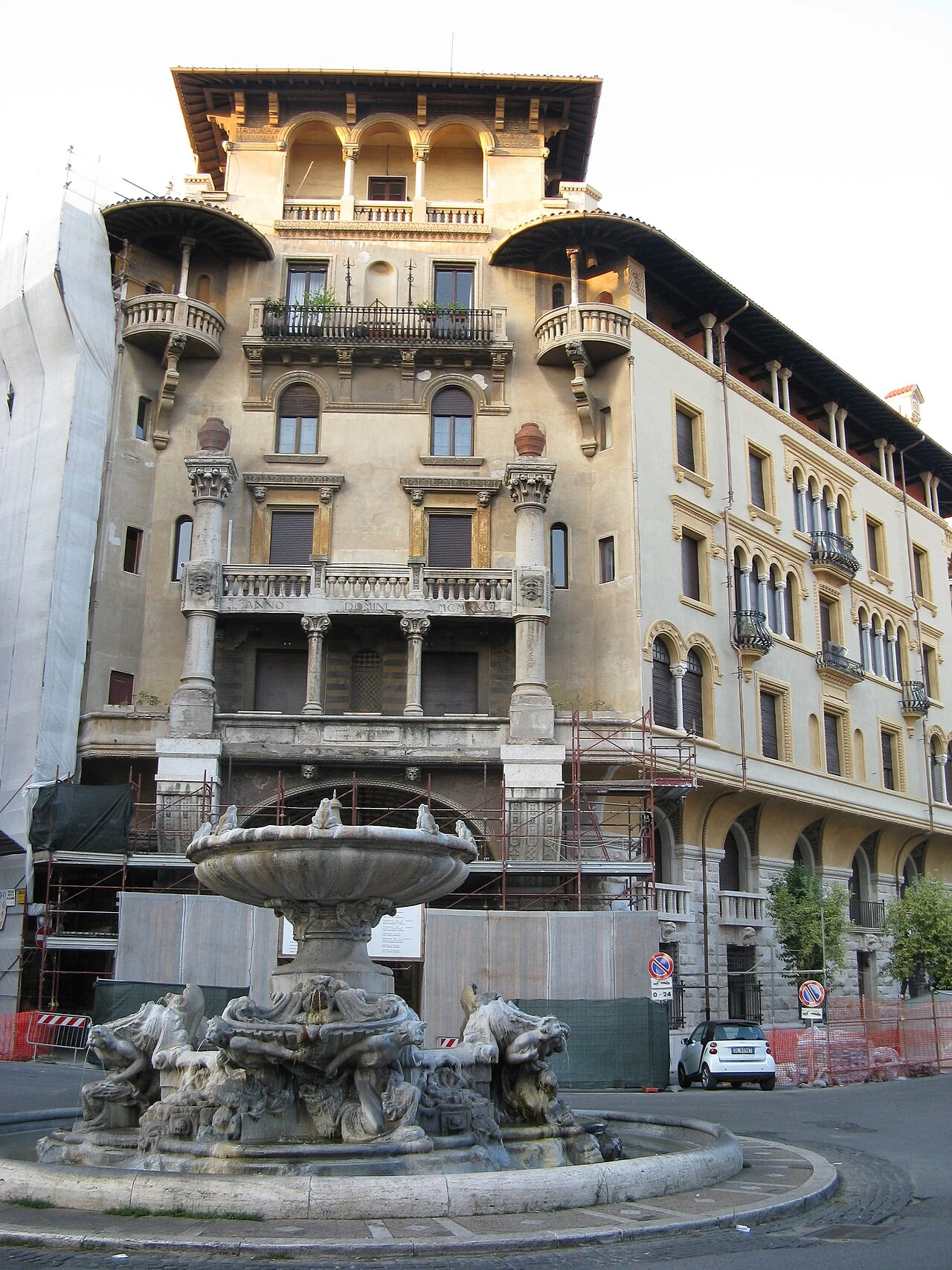
Quartiere Coppedè
Rome•neighborhoods
1913 - 1927
41.9197°N, 12.5028°E

Quartiere Coppedè

Eclectic Art Nouveau and Gothic fairy tale architectural enclave designed by Gino Coppedè

Features the Fountain of the Frogs and fantastical sculpted palace archways.

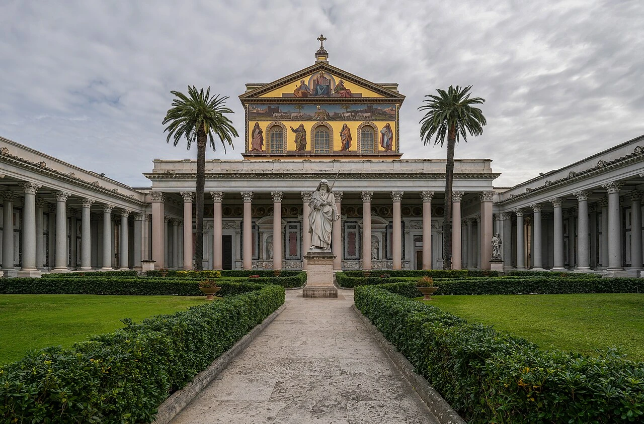
Basilica di San Paolo Fuori le Mura
Rome•spiritual
4th Century - 1854
41.8586°N, 12.4764°E

Basilica di San Paolo Fuori le Mura

One of Rome's four major papal basilicas housing the tomb of Saint Paul

Renowned for its 80 monolithic granite columns, 5th-century mosaics, and continuous medallion portraits of all Popes.

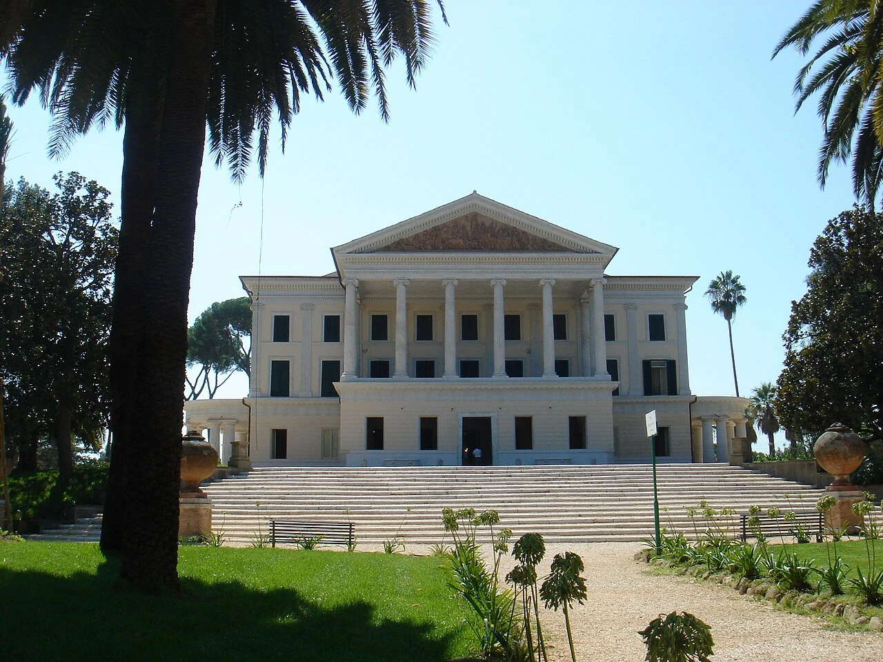
Villa Torlonia & Casina delle Civette
Rome•parks
1806 - 1920
41.9142°N, 12.5117°E

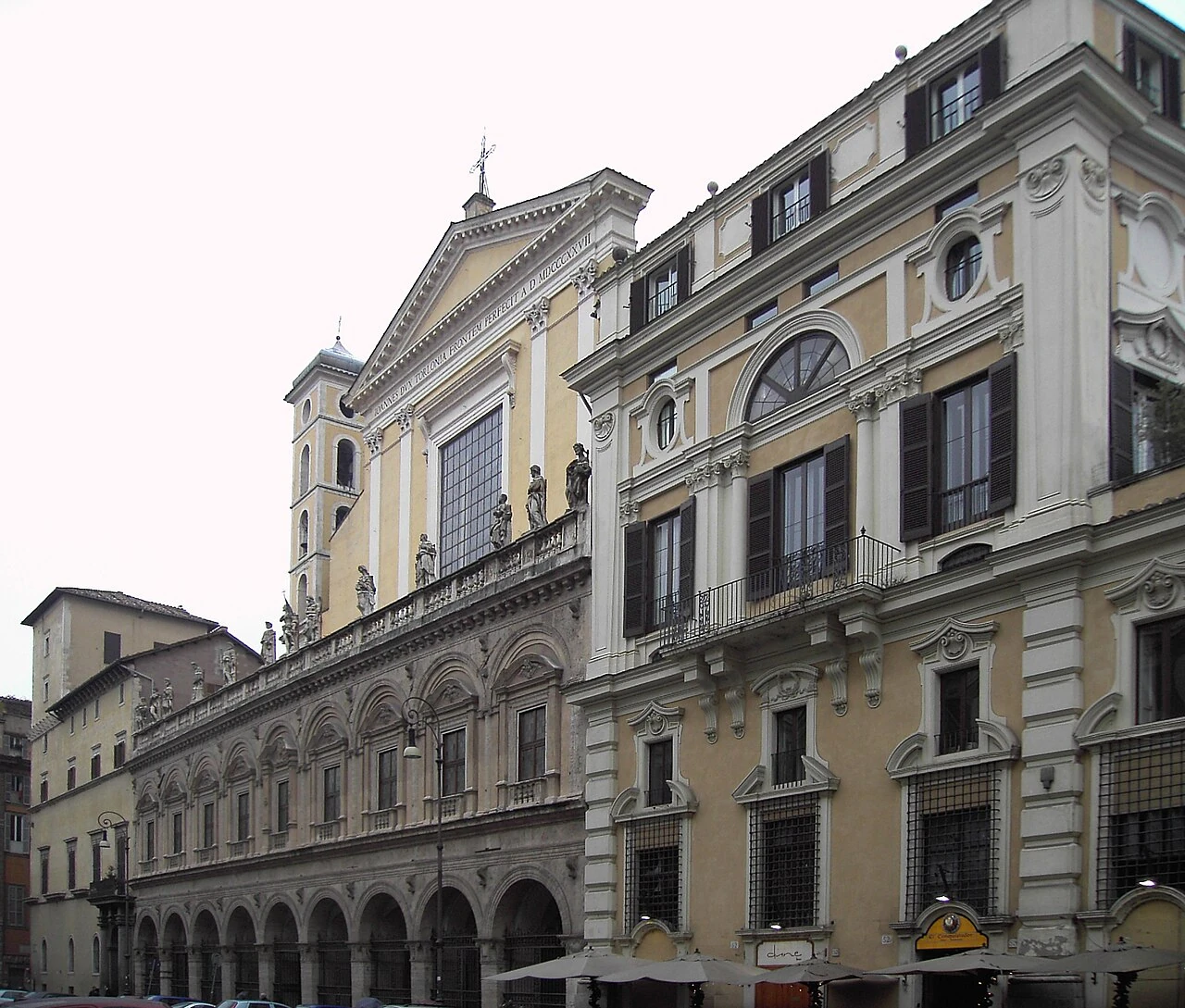
Villa Torlonia & Casina delle Civette

Neoclassical villa estate and fantastical Art Nouveau Owl House with stained glass

Former residence of the Torlonia banking family and Benito Mussolini.

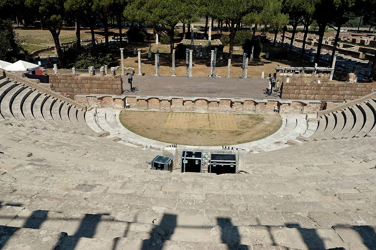
Parco Archeologico di Ostia Antica
Rome•monuments
4th Century BC - 4th Century AD
41.7553°N, 12.2917°E

Parco Archeologico di Ostia Antica

Magnificently preserved ancient Roman port city at the mouth of the Tiber River

Harbors 2,000-year-old Roman apartment blocks (insulae), mosaics, thermal baths, and bakery mills.

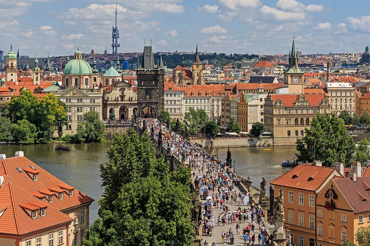
Karlův Most (Charles Bridge)
Prague•monuments
1357 - 1402
50.0865°N, 14.4114°E

Karlův Most (Charles Bridge)

Gothic stone bridge adorned with 30 Baroque statues spanning the Vltava River

Commissioned in 1357 by Holy Roman Emperor Charles IV and designed by Peter Parler. Completed in 1402, spanning 516 meters across 16 stone arches.

Pražský Hrad (Prague Castle Complex)
Prague•monuments
880 AD - Present
50.0911°N, 14.4016°E

Pražský Hrad (Prague Castle Complex)

Largest ancient castle complex in the world and seat of Bohemian kings and Czech presidents

Founded around 880 AD by Prince Bořivoj of the Premyslid dynasty. Covers nearly 70,000 square meters, recognized by Guinness World Records as the largest ancient castle.

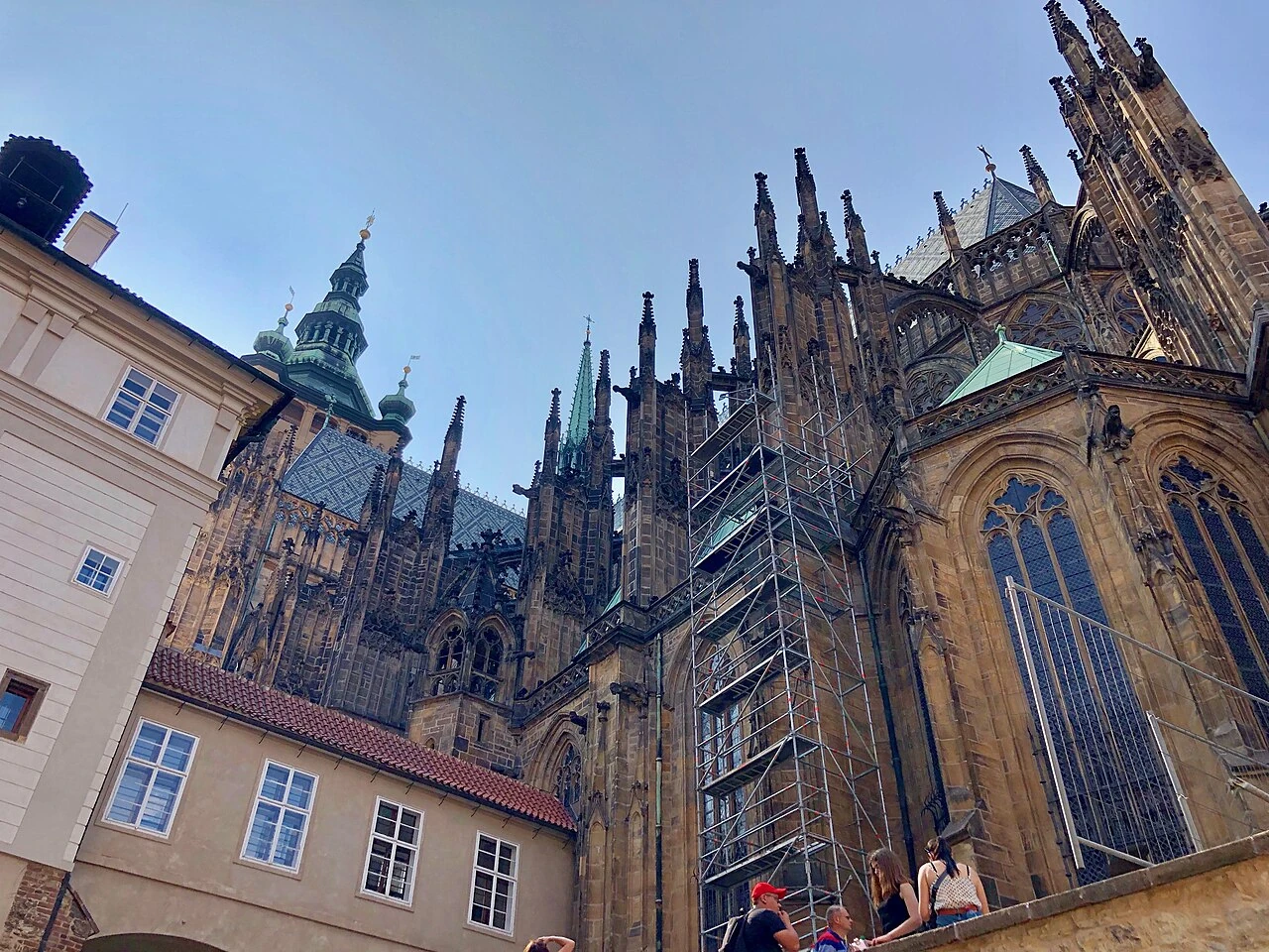
Katedrála svatého Víta
Prague•spiritual
1344 - 1929
50.0909°N, 14.4005°E

Katedrála svatého Víta

High Gothic masterpiece housing the royal Bohemian pantheon and Saint Wenceslas Chapel

Begun in 1344 by Matthias of Arras and Peter Parler under Emperor Charles IV. Completed in 1929 after nearly six centuries of construction.

Pražský orloj (Astronomical Clock)
Prague•monuments
1410 - Present
50.0870°N, 14.4207°E

Pražský orloj (Astronomical Clock)

Oldest operating medieval astronomical clock in the world mounted on Old Town Hall

Installed in 1410 by clockmaker Mikuláš of Kadaň and astronomer Jan Šindel. The moving Apostle figures and calendar dial were added in subsequent centuries.

Staroměstské náměstí (Old Town Square)
Prague•neighborhoods
12th Century - Present
50.0877°N, 14.4211°E

Staroměstské náměstí (Old Town Square)

Historic public square framed by Gothic twin-towered Týn Church and colorful Baroque palaces

Dating back to the 12th century as the central market square of Prague. Site of major historic events including the execution of 27 Protestant leaders in 1621.

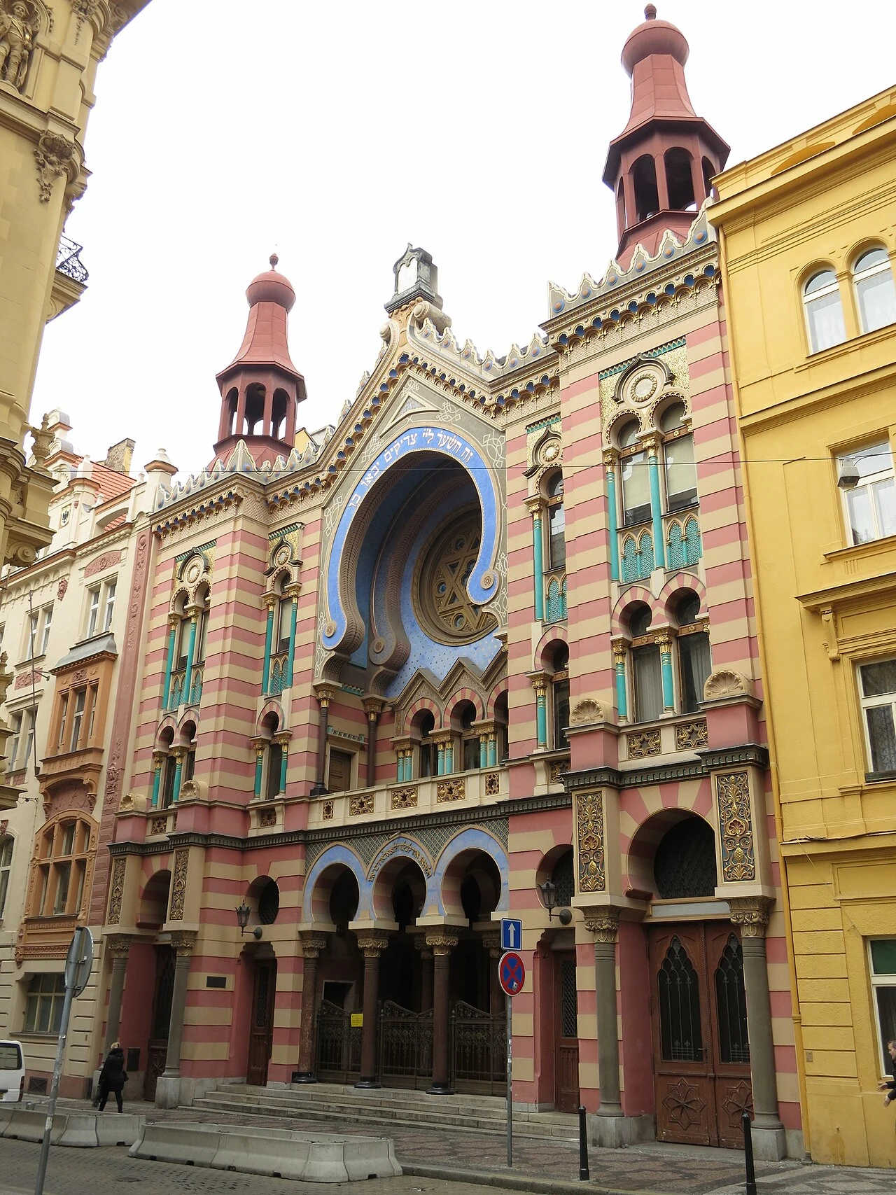
Josefov (Prague Jewish Quarter)
Prague•neighborhoods
13th Century
50.0898°N, 14.4187°E

Josefov (Prague Jewish Quarter)

Historic Jewish ghetto holding the Old-New Synagogue and Golem legends

Preserves 13th-century synagogues and Jewish heritage.

Kostel Matky Boží před Týnem
Prague•spiritual
1365 - 1470
50.0877°N, 14.4227°E

Kostel Matky Boží před Týnem

Soaring 80-meter twin Gothic spires dominating the Old Town Square

Completed in the 15th century, holds the tomb of astronomer Tycho Brahe.

Strahovský klášter & Theological Hall
Prague•spiritual
1143 - 1797
50.0865°N, 14.3892°E

Strahovský klášter & Theological Hall

Premonstratensian abbey holding stunning Baroque and Philosophical library halls

Founded in 1143, houses over 200,000 rare manuscripts and cabinets of curiosities.

Starý židovský hřbitov
Prague•spiritual
1439 - 1787
50.0898°N, 14.4172°E

Starý židovský hřbitov

Historic cemetery with 12,000 layered tomb markers and tomb of Rabbi Loew

Used from the 15th century to 1787; legendary resting place of the Golem creator.

Malá Strana (Lesser Town)
Prague•neighborhoods
16th - 18th Century
50.0872°N, 14.4045°E

Malá Strana (Lesser Town)

Picturesque district of aristocratic Baroque palaces, embassies, and cobblestones

Rebuilt in Baroque style after a devastating fire in 1541.

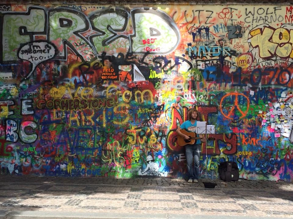
Lennonova zeď (John Lennon Wall)
Prague•monuments
1980 - Present
50.0862°N, 14.4069°E

Lennonova zeď (John Lennon Wall)

Colorful street art wall and global monument to peace and anti-communist resistance

Symbol of freedom of speech painted by youth since the 1980s.

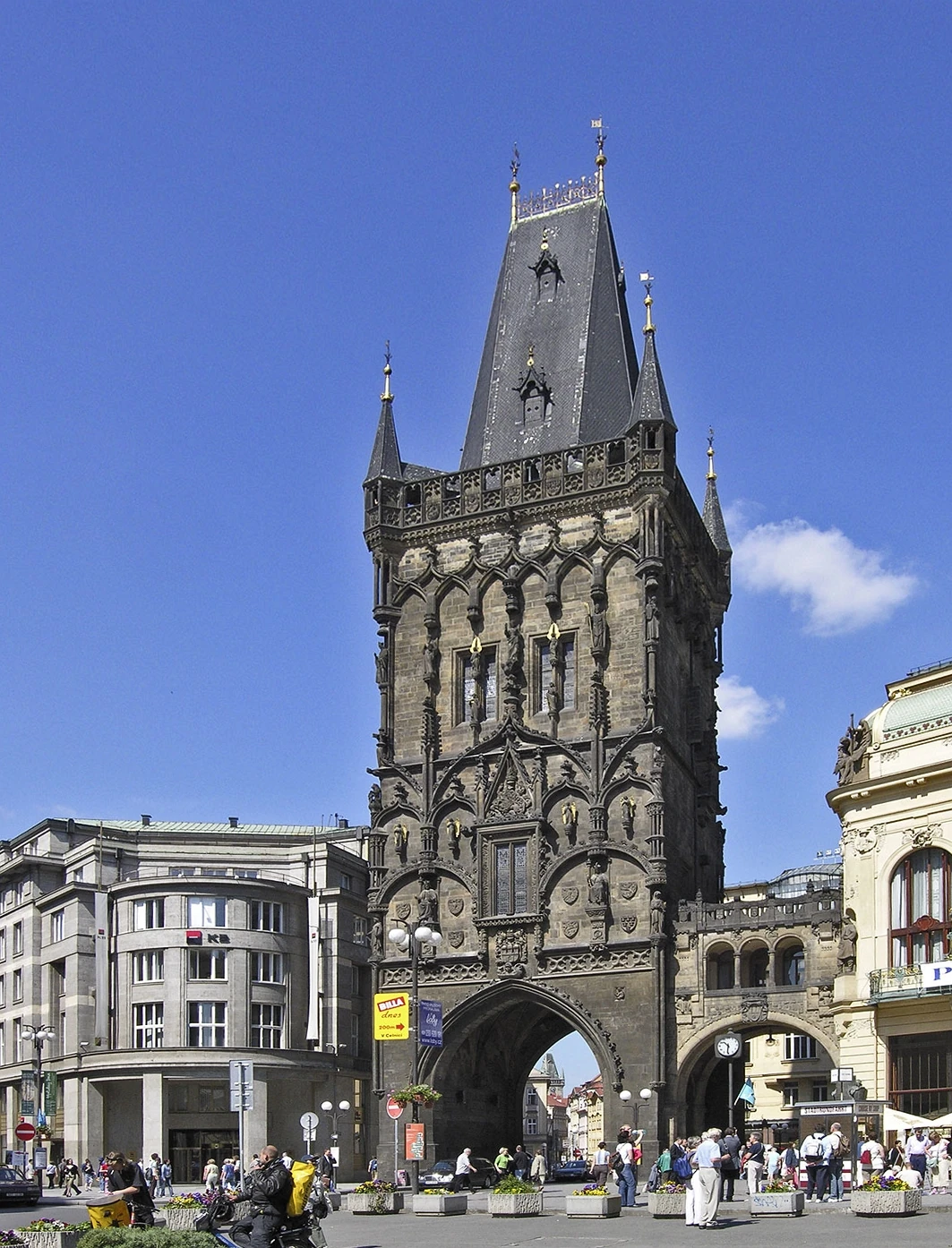
Prašná brána (Powder Tower)
Prague•monuments
1475
50.0873°N, 14.4278°E

Prašná brána (Powder Tower)

Monumental 65-meter 15th-century Gothic gate tower marking the Royal Route

Constructed in 1475 as an official city gate, used as gunpowder storage.

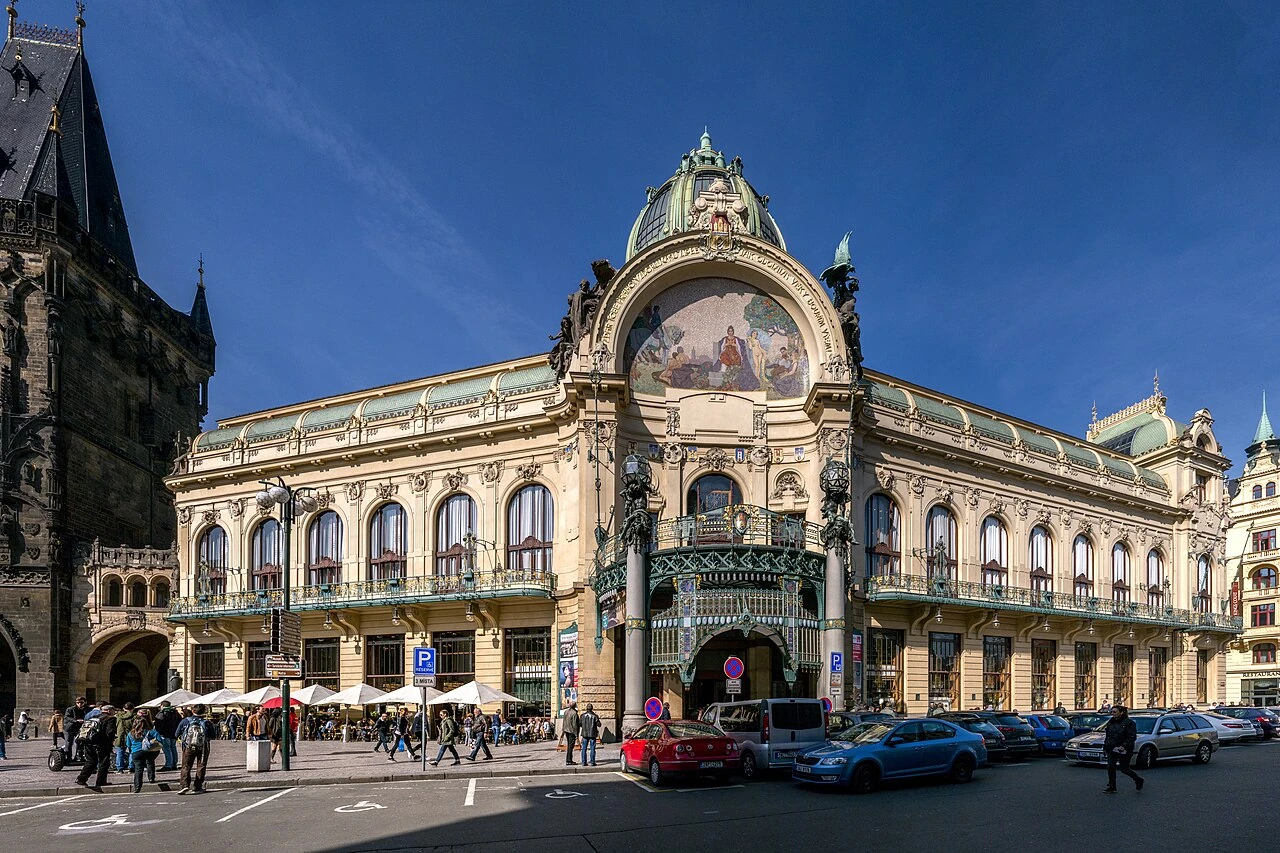
Obecní dům & Smetana Hall
Prague•monuments
1905 - 1912
50.0877°N, 14.4281°E

Obecní dům & Smetana Hall

Prague's supreme Art Nouveau cultural palace decorated by Alfons Mucha

Inaugurated in 1912, site of the 1918 proclamation of Czechoslovak independence.

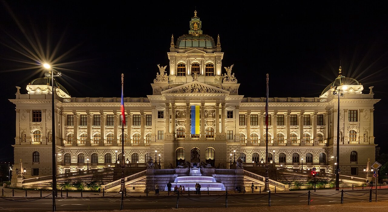
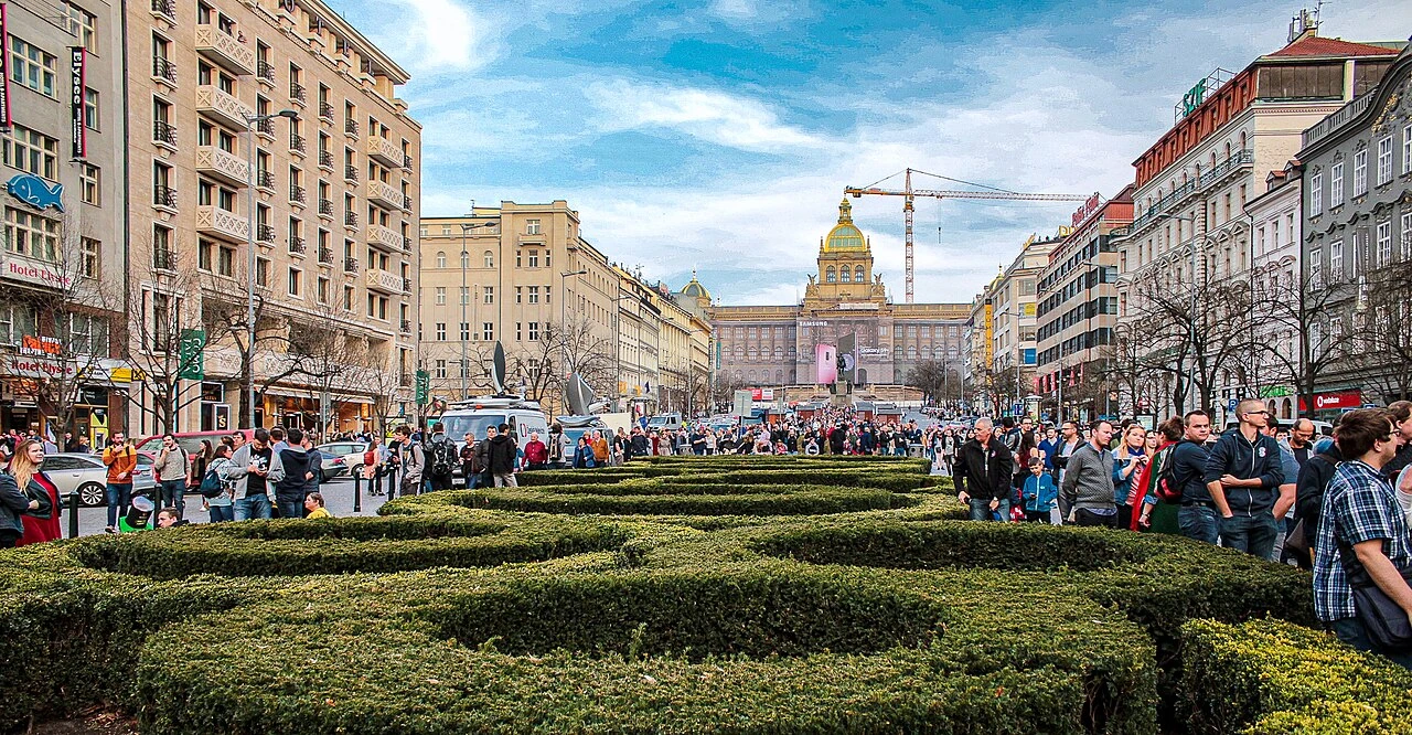
Národní muzeum on Wenceslas Square
Prague•museums
1885 - 1891
50.0792°N, 14.4303°E

Národní muzeum on Wenceslas Square

Monumental Neo-Renaissance national museum dominating Wenceslas Square

Designed by Josef Schulz, houses millions of natural history and cultural artifacts.

Loreta Praha (Holy House & Carillon)
Prague•spiritual
1626 - 1722
50.0894°N, 14.3917°E

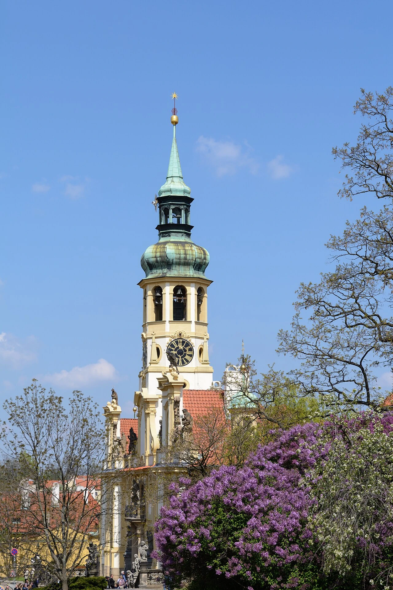
Loreta Praha (Holy House & Carillon)

Baroque Marian pilgrimage shrine featuring a 27-bell carillon and diamond monstrance

Houses the famous Prague Sun monstrance studded with 6,222 diamonds.

Valdštejnská zahrada & Dripstone Wall
Prague•parks
1623 - 1630
50.0903°N, 14.4056°E

Valdštejnská zahrada & Dripstone Wall

Early Baroque palace gardens with peacocks, bronze fountains, and grotto dripstone wall

Created for military commander Albrecht von Wallenstein; now Czech Senate seat.

Letenské sady & Giant Metronome
Prague•parks
19th Century - 1991
50.0961°N, 14.4150°E

Letenské sady & Giant Metronome

Hilltop panoramic park with beer gardens and 75-foot kinetic Metronome

Site of the former giant Stalin monument, now popular viewpoint over the Vltava bridges.

Rudolfinum & Dvořák Concert Hall
Prague•monuments
1876 - 1884
50.0897°N, 14.4156°E

Rudolfinum & Dvořák Concert Hall

Neo-Renaissance concert hall on the Vltava, home of the Czech Philharmonic

Inaugurated in 1885, host to the annual Prague Spring International Music Festival.

Trojský zámek & Habsburg Gardens
Prague•monuments
1679 - 1691
50.1164°N, 14.4131°E

Trojský zámek & Habsburg Gardens

17th-century Baroque villa palace with monumental Giants staircase and French gardens

Built for Count Wenceslas Adalbert of Sternberg with monumental Habsburg frescoes.

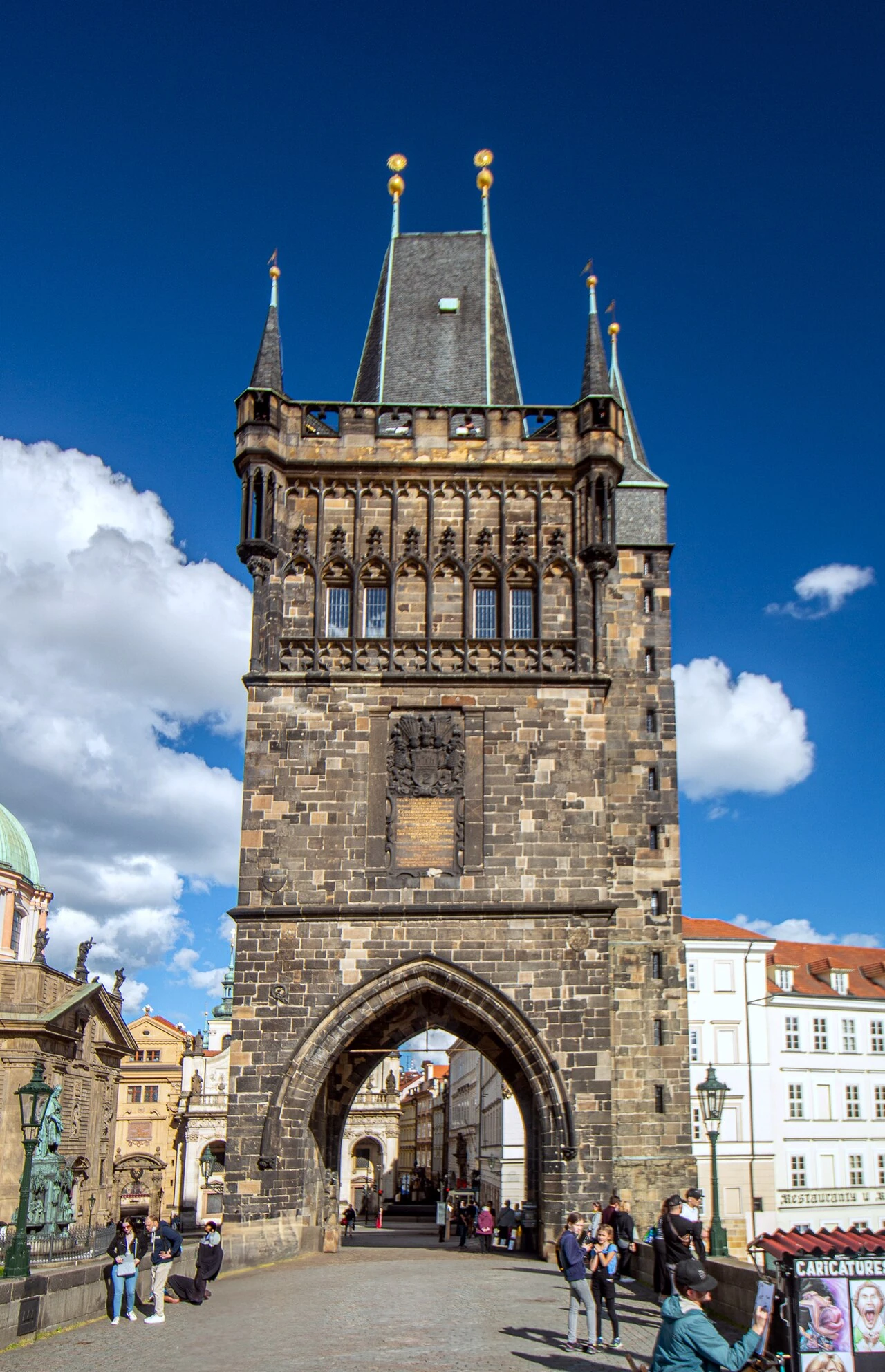
Staroměstská mostecká věž
Prague•monuments
1357 - 1380
50.0864°N, 14.4136°E

Staroměstská mostecká věž

Monumental 14th-century Gothic triumphal gateway at the entrance of Charles Bridge

Peter Parler's architectural masterpiece crowned by statues of Emperor Charles IV.

Kampa Island & Čertovka (Devil's Stream)
Prague•neighborhoods
12th Century - Present
50.0861°N, 14.4083°E

Kampa Island & Čertovka (Devil's Stream)

Romantic island on the Vltava known as Prague's Venice with ancient watermills

Separated from Malá Strana by the historic Čertovka millstream.

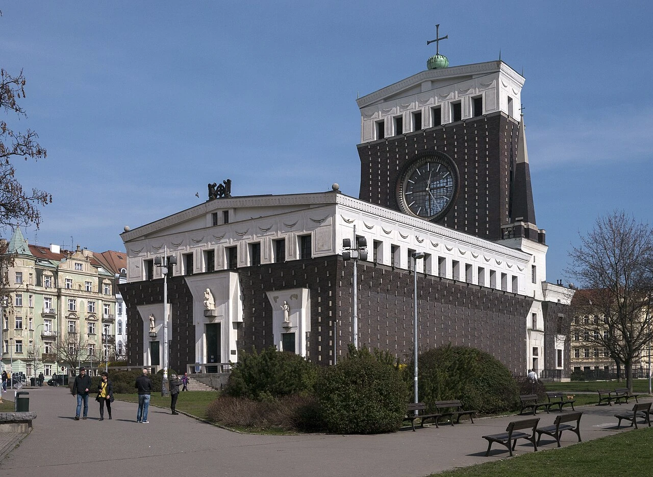
Kostel Nejsvětějšího Srdce Páně
Prague•spiritual
1928 - 1932
50.0778°N, 14.4503°E

Kostel Nejsvětějšího Srdce Páně

Jože Plečnik's modernist masterpiece in Vinohrady featuring a 42-meter glass clock tower

Inspired by ancient Egyptian and early Christian basilicas, built in 1932.

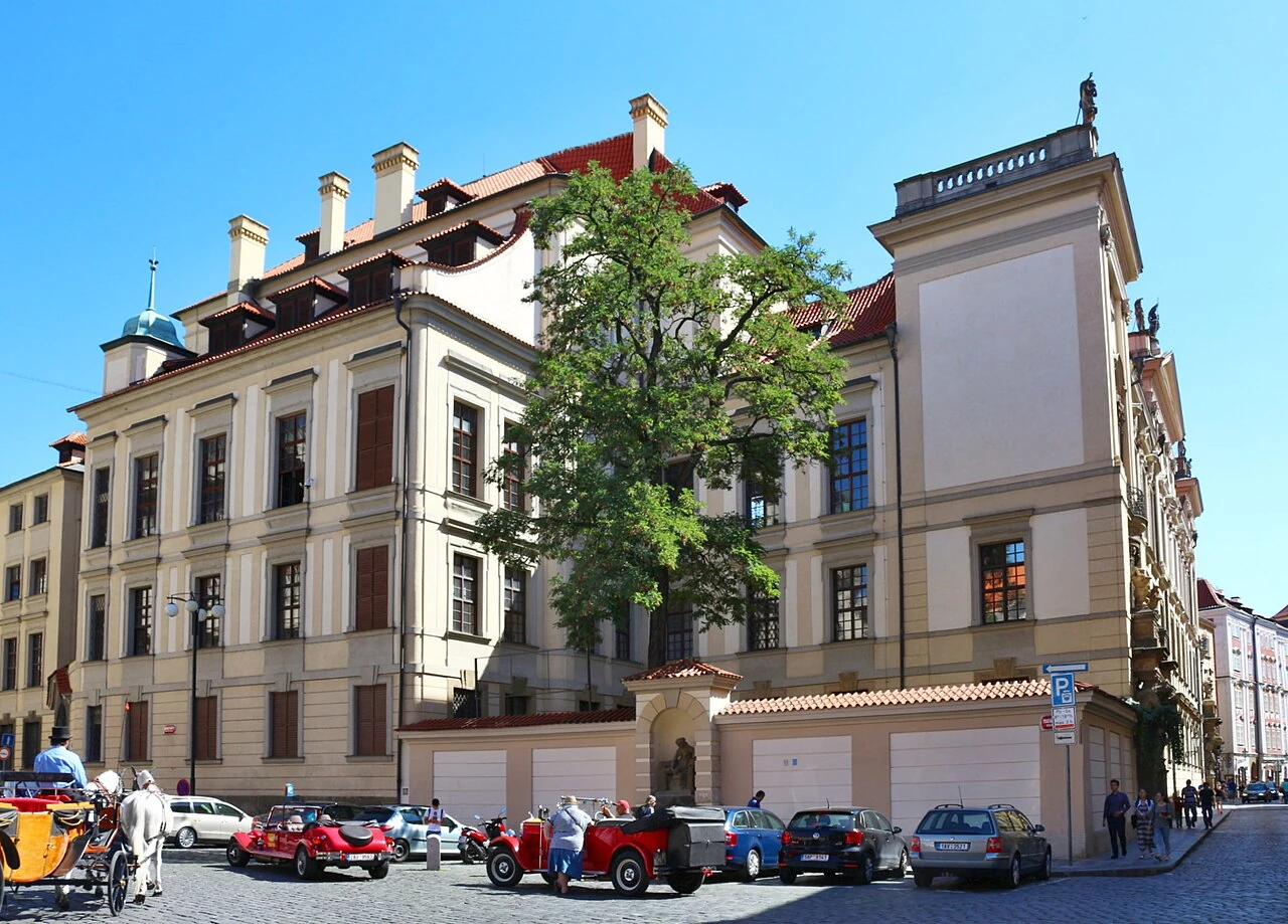
Clam-Gallasův palác
Prague•monuments
1714 - 1718
50.0864°N, 14.4178°E

Clam-Gallasův palác

High Baroque palace designed by Johann Bernhard Fischer von Erlach with Titan portals

Features monumental sculpted stone Atlantes by Matthias Braun.

Havlíčkovy sady (Grébovka Park & Grotto)
Prague•parks
1871 - 1888
50.0697°N, 14.4447°E

Havlíčkovy sady (Grébovka Park & Grotto)

Neo-Renaissance villa estate with working vineyard, artificial grotto, and wine pavilion

Built in the 1870s for industrialist Moritz Gröbe overlooking the Botič stream.

Zrcadlové bludiště na Petříně
Prague•leisure
1891
50.0833°N, 14.3942°E

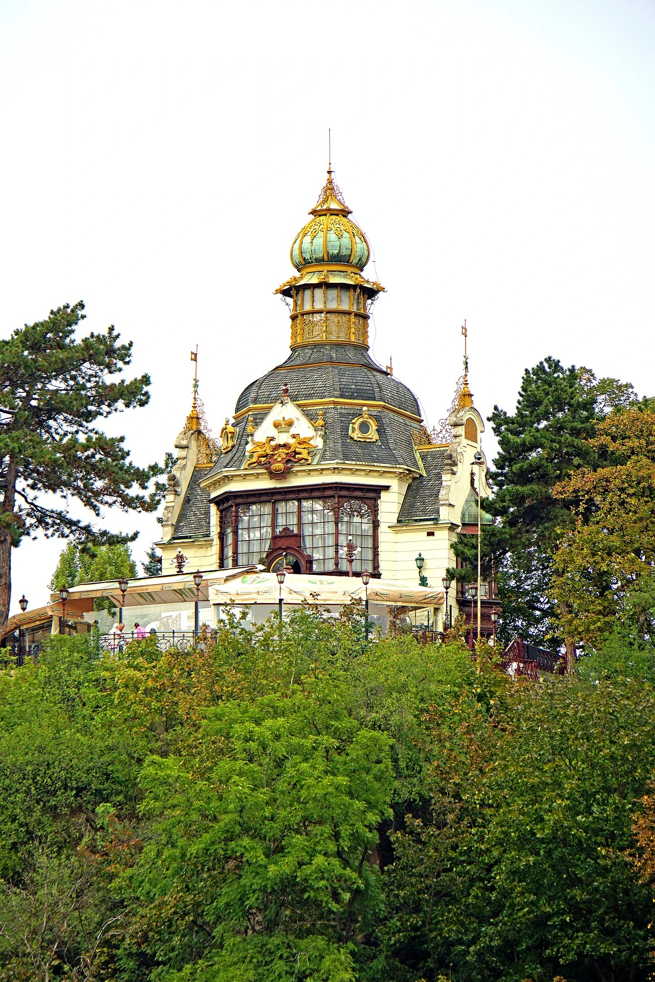
Zrcadlové bludiště na Petříně

Fairytale miniature wooden castle housing an optical labyrinth of curved mirrors

Built for the 1891 Jubilee Exhibition, features diorama of 1648 battle against Swedes.

Stromovka (Royal Game Reserve)
Prague•parks
1268 - Present
50.1061°N, 14.4178°E

Stromovka (Royal Game Reserve)

Prague's largest historical royal park with oak forests, ponds, and Governor's Summer Palace

Created in 1268 by King Ottokar II as a royal hunting reserve.

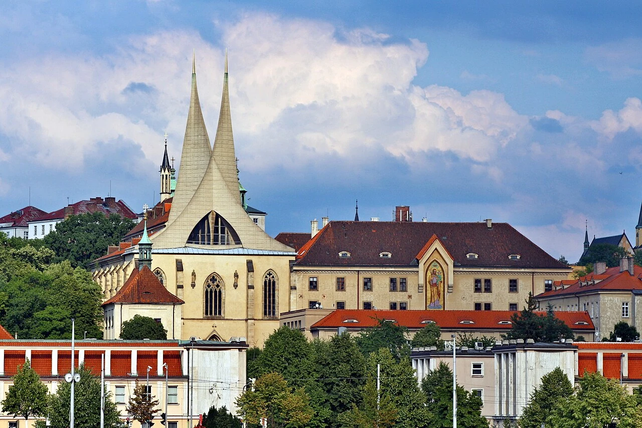
Emauzský klášter (Emmaus Monastery)
Prague•spiritual
1347 - 1968
50.0722°N, 14.4178°E

Emauzský klášter (Emmaus Monastery)

14th-century Slavic Benedictine monastery with striking white concrete soaring spires

Founded in 1347 by Charles IV; reconstructed in 1968 with modernist concrete sails.

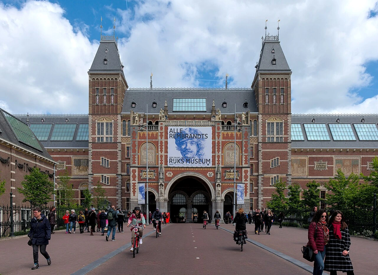
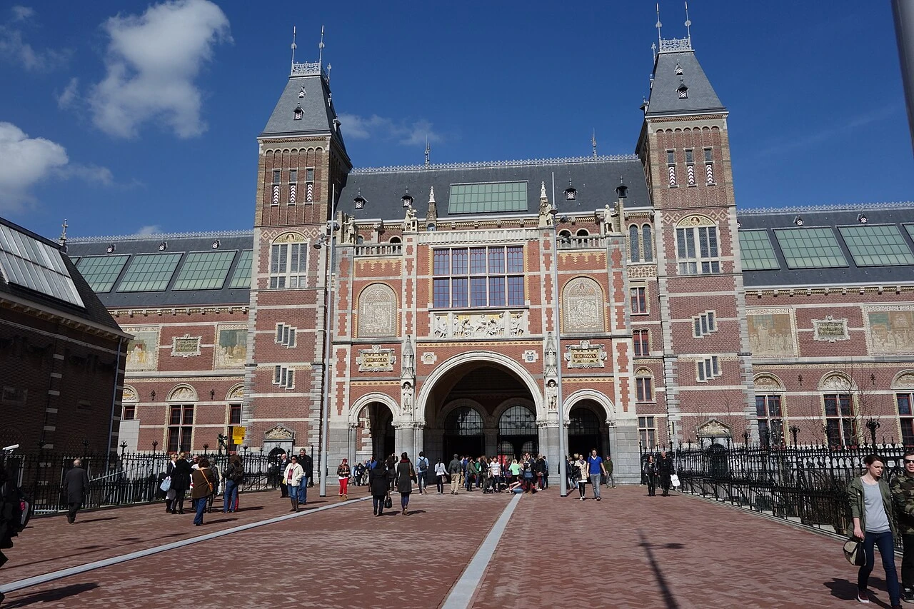
Rijksmuseum
Amsterdam•museums
1876 - 1885 (Restored 2013)
52.3600°N, 4.8852°E

Rijksmuseum

Grand Gothic & Renaissance national museum housing Rembrandt's Night Watch

Designed by Pierre Cuypers and opened in 1885. Holds over 8,000 masterworks illustrating eight centuries of Dutch art and history, including Rembrandt, Vermeer, and Frans Hals.

Van Gogh Museum
Amsterdam•museums
1973 - 1999 (Kurokawa Wing)
52.3584°N, 4.8811°E

Van Gogh Museum

World's largest collection of artworks by Vincent van Gogh on Museumplein

Founded in 1973 based on the collection of Vincent's brother Theo van Gogh. Designed by Gerrit Rietveld with a Kurokawa wing added in 1999.

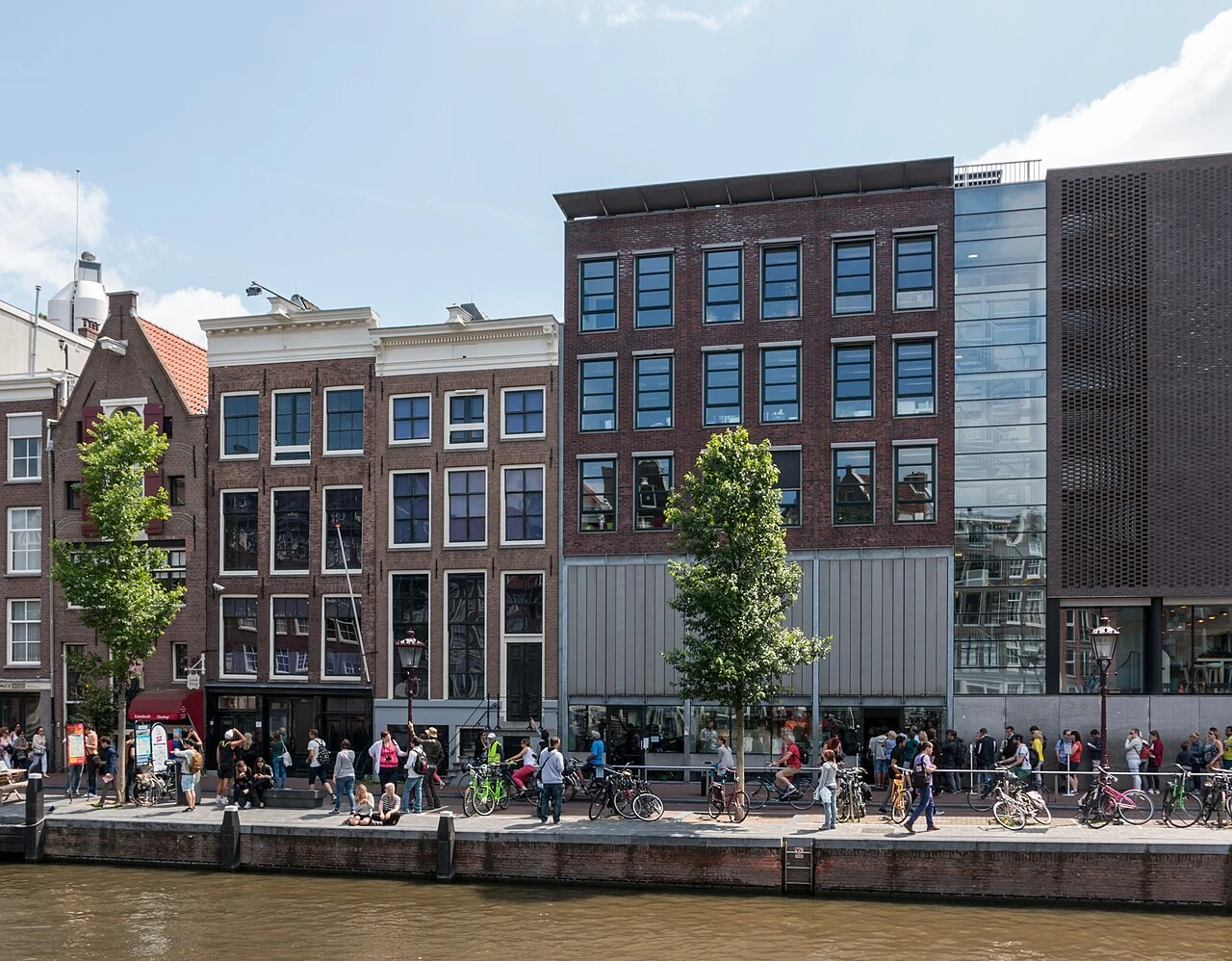
Anne Frank Huis (Anne Frank House)
Amsterdam•monuments
1635 (House) - 1960 (Museum)
52.3752°N, 4.8840°E

Anne Frank Huis (Anne Frank House)

Historic 17th-century canal house and secret annex where Anne Frank wrote her diary

Located on the Prinsengracht where Jewish diarist Anne Frank and seven others hid from Nazi persecution from 1942 to 1944. Preserved as a museum since 1960.

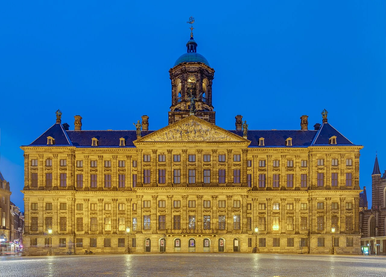
Koninklijk Paleis Amsterdam
Amsterdam•monuments
1648 - 1665
52.3732°N, 4.8913°E

Koninklijk Paleis Amsterdam

Monumental 17th-century Dutch Golden Age City Hall turned official Royal Palace

Designed by Jacob van Campen and inaugurated in 1655 as the City Hall of Amsterdam. Converted into a royal palace in 1808 by King Louis Bonaparte (Napoleon's brother).

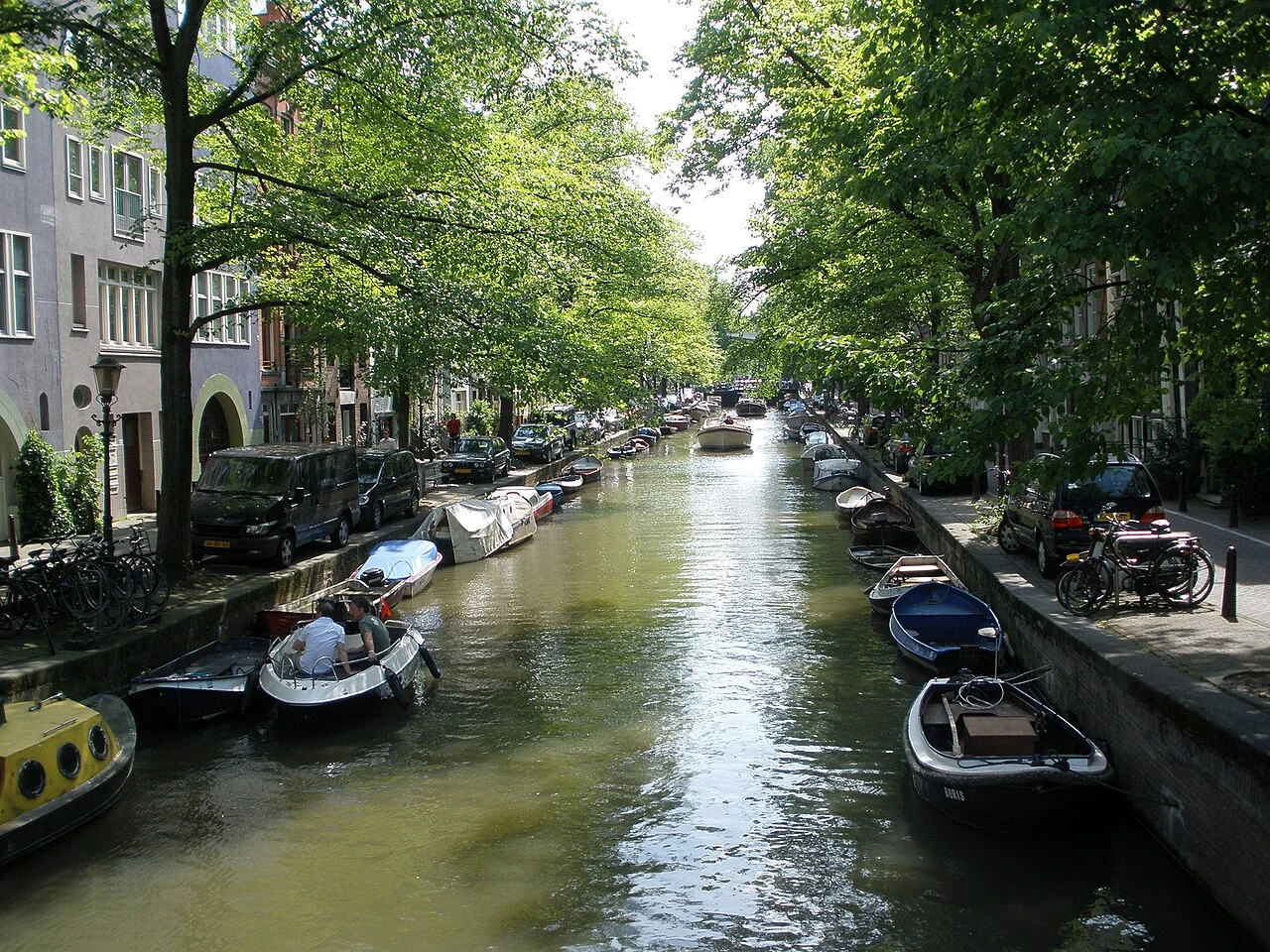
Jordaan District & Prinsengracht Canals
Amsterdam•neighborhoods
1612 - Present
52.3742°N, 4.8812°E

Jordaan District & Prinsengracht Canals

Charming 17th-century working-class district turned bohemian heart of art and cafes

Created during the grand 17th-century canal expansion for working-class laborers and artisans. Today it is Amsterdam's most coveted bohemian neighborhood.

Vondelpark
Amsterdam•parks
1865
52.3578°N, 4.8686°E

Vondelpark

Amsterdam's most famous 120-acre English landscape park with open-air theatre

Opened in 1865, named after 17th-century poet Joost van den Vondel.

Oude Kerk (Old Church)
Amsterdam•spiritual
1306 - 1570
52.3739°N, 4.8981°E

Oude Kerk (Old Church)

Amsterdam's oldest surviving building (1306) and 800-year-old Gothic parish church

Consecrated in 1306 on the Oudezijds Voorburgwal canal.

Begijnhof & Het Houten Huys
Amsterdam•spiritual
14th Century
52.3694°N, 4.8894°E

Begijnhof & Het Houten Huys

Medieval sanctuary of Beguine women holding Amsterdam's oldest wooden house (1420)

A tranquil enclosed medieval courtyard sanctuary founded in the 14th century.

NEMO Science Museum
Amsterdam•museums
1997
52.3742°N, 4.9122°E

NEMO Science Museum

Renzo Piano's green ship-shaped science museum with public stepped rooftop piazza

Interactive hands-on science exhibits with panoramic harbor views.

Stedelijk Museum Amsterdam
Amsterdam•museums
1895 - 2012
52.3581°N, 4.8797°E

Stedelijk Museum Amsterdam

World-renowned modern and contemporary art museum in the iconic 'Bathtub' pavilion

Houses masterworks by Mondrian, Malevich, Warhol, and De Kooning.

Dam Square & National Monument
Amsterdam•neighborhoods
1270 - Present
52.3731°N, 4.8928°E

Dam Square & National Monument

Historic town square where the Amstel river was first dammed in 1270

The civic heart of Amsterdam holding the National Memorial to WWII victims.

Westerkerk & Rembrandt's Memorial
Amsterdam•spiritual
1620 - 1631
52.3744°N, 4.8839°E

Westerkerk & Rembrandt's Memorial

Tallest church spire in Amsterdam (85m) where Rembrandt was laid to rest in 1669

Designed by Hendrick de Keyser, crowned by the blue Imperial Crown of Austria.

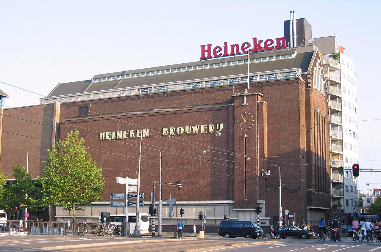
Heineken Experience
Amsterdam•leisure
1867 - 2008
52.3578°N, 4.8919°E

Heineken Experience

Interactive historical brewery tour inside the original 1867 Heineken brewhouse

Historic copper brew kettles, beer brewing science, and rooftop tasting room.

A'DAM Lookout & Over the Edge Swing
Amsterdam•monuments
1971 - 2016
52.3842°N, 4.9006°E

A'DAM Lookout & Over the Edge Swing

Panoramic observation tower across the IJ river featuring Europe's highest swing

360-degree rooftop deck with views across Amsterdam's historical center and ports.

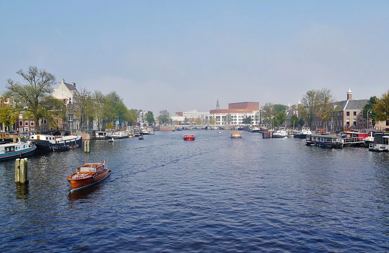
Magere Brug (Skinny Bridge)
Amsterdam•monuments
1691 - 1934
52.3636°N, 4.9025°E

Magere Brug (Skinny Bridge)

Historic white double-leaf wooden bascule bridge spanning the Amstel river

Illuminated by 1,200 golden light bulbs at night reflecting on the river.

ARTIS Royal Zoo & Micropia
Amsterdam•parks
1838
52.3661°N, 4.9167°E

ARTIS Royal Zoo & Micropia

Oldest zoo in the Netherlands (1838) and world's first microbe museum

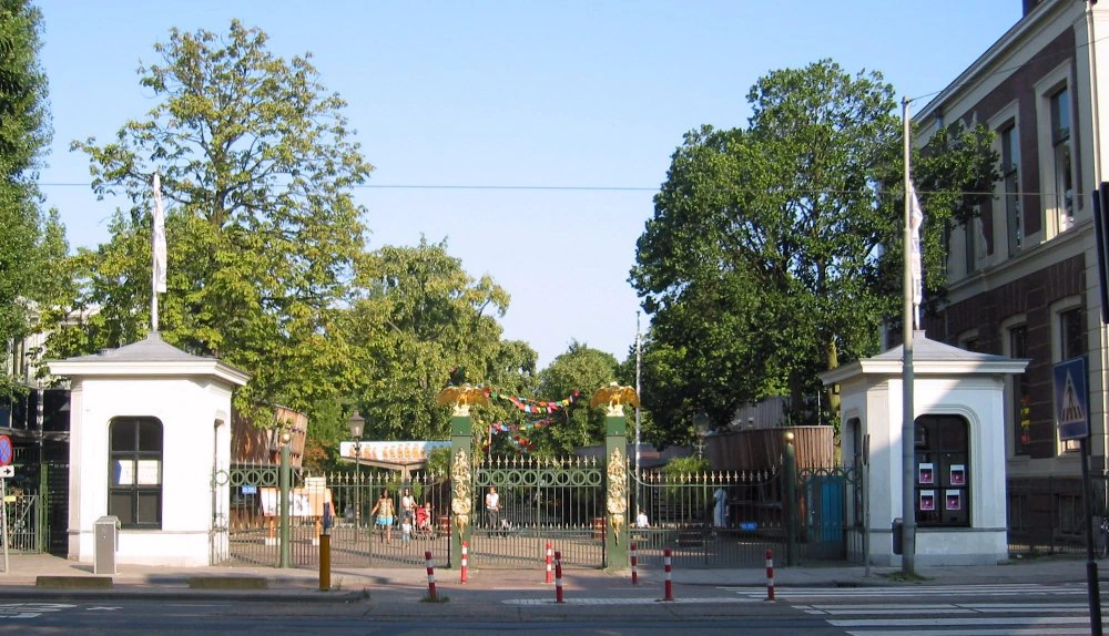
Combines 19th-century botanical gardens, planetarium, and heritage pavilions.
Hortus Botanicus Amsterdam
Amsterdam•botanical
1638
52.3669°N, 4.9078°E

Hortus Botanicus Amsterdam

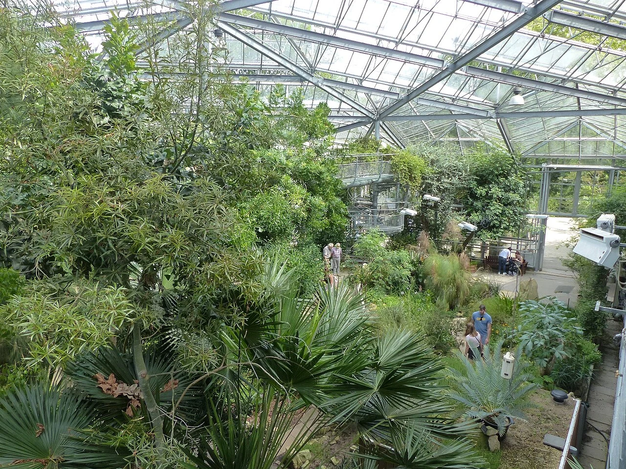
One of the oldest botanical gardens in the world (1638) with historic greenhouses

Supplied coffee plants and medicinal herbs to the entire Western world.

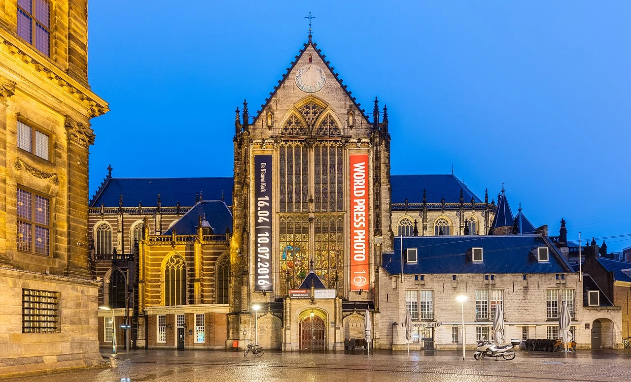
Nieuwe Kerk (New Church)
Amsterdam•spiritual
1408 - 1650
52.3736°N, 4.8917°E

Nieuwe Kerk (New Church)

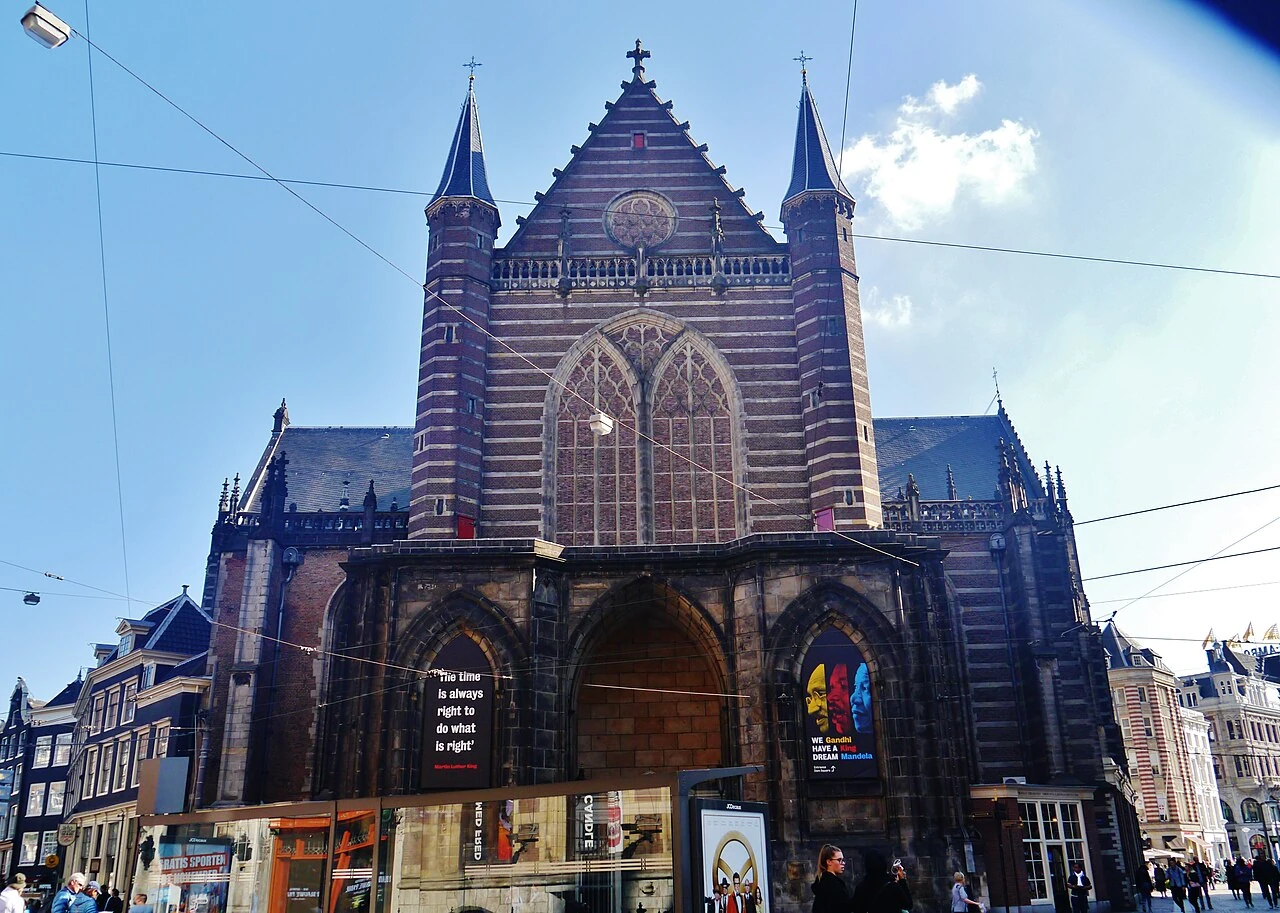
15th-century Gothic church on Dam Square used for Dutch royal inaugurations

Venue for royal weddings, state ceremonies, and major cultural exhibitions.
Museum Ons' Lieve Heer op Solder
Amsterdam•museums
1663
52.3750°N, 4.8989°E

Museum Ons' Lieve Heer op Solder

Secret Catholic church hidden in the attic of a 17th-century canal mansion

Preserved intact since the Protestant Reformation when Catholic worship was clandestine.

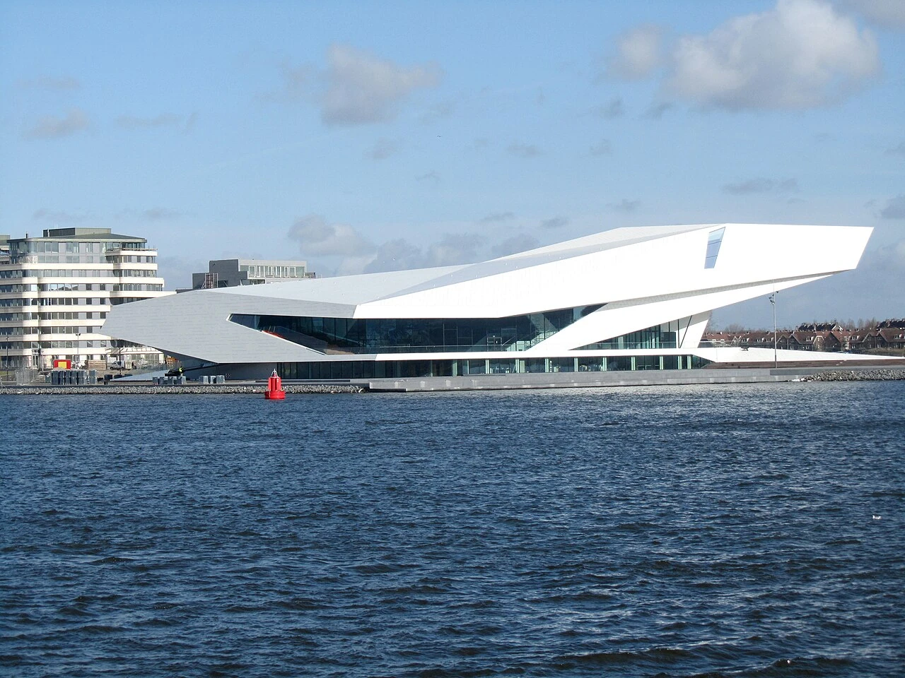
Eye Filmmuseum
Amsterdam•museums
2012
52.3844°N, 4.9003°E

Eye Filmmuseum

Futuristic aerodynamic white waterfront architecture dedicated to cinema history

Designed by Delugan Meissl overlooking the IJ river ferry terminal.

De Waag (Weighing House)
Amsterdam•monuments
1488
52.3728°N, 4.9003°E

De Waag (Weighing House)

Oldest non-religious building in Amsterdam (1488) on Nieuwmarkt square

Originally the St. Anthony gate, site of Rembrandt's Anatomy Lesson of Dr. Tulp.

Moco Museum
Amsterdam•museums
2016
52.3583°N, 4.8828°E

Moco Museum

Boutique contemporary art museum inside Villa Alsberg featuring Banksy and Kusama

Specializes in iconic street art, modern pop art, and immersive digital installations.
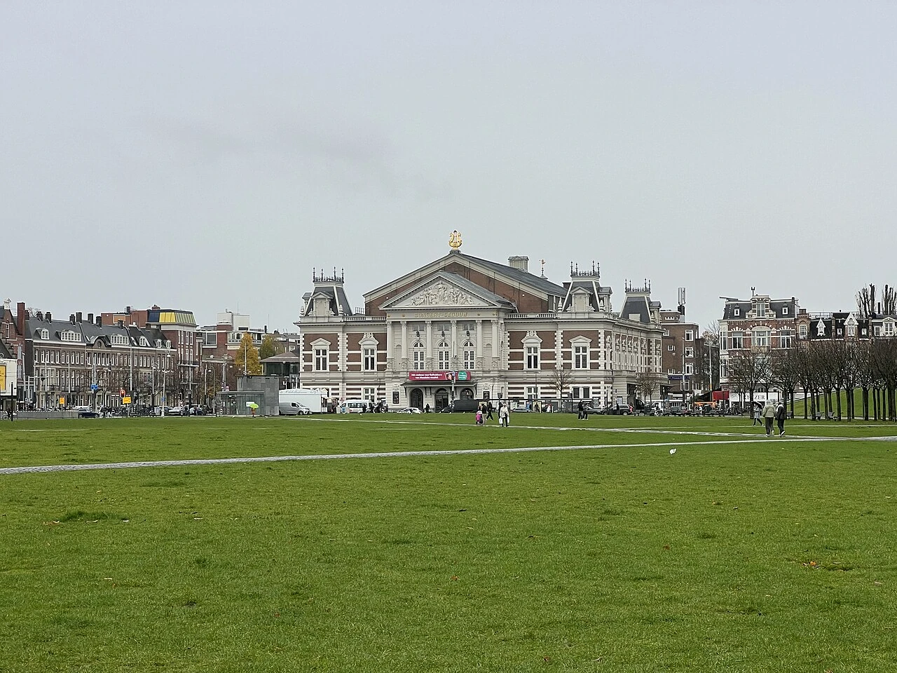
Koninklijk Concertgebouw
Amsterdam•monuments
1888
52.3564°N, 4.8792°E

Koninklijk Concertgebouw

Neoclassical concert hall world-renowned for peerless acoustic warmth

Home to the Royal Concertgebouw Orchestra since 1888.
Westergas (Cultuurpark Westergasfabriek)
Amsterdam•leisure
1883 - 2003
52.3858°N, 4.8703°E

Westergas (Cultuurpark Westergasfabriek)

19th-century red-brick industrial gasworks transformed into a vibrant cultural hub

Art galleries, independent cinema, craft breweries, and expansive park lawns.
H'ART Museum (Former Hermitage Amsterdam)
Amsterdam•museums
1681 - 2009
52.3653°N, 4.9025°E

H'ART Museum (Former Hermitage Amsterdam)

Grand 17th-century Amstelhof building on the river hosting international fine arts

Historic classical building with extensive serene interior courtyard gardens.
NDSM Wharf (STRAAT & Cultural Shipyard)
Amsterdam•neighborhoods
1920 - Present
52.3992°N, 4.8936°E

NDSM Wharf (STRAAT & Cultural Shipyard)

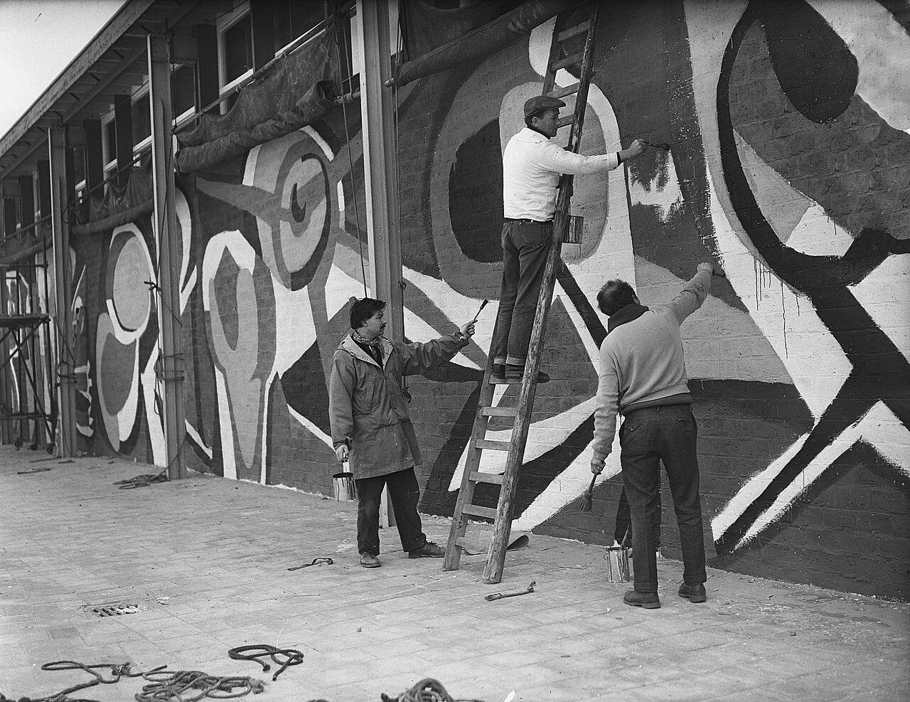
Sprawling post-industrial shipyard across the IJ with world-famous street art murals

Accessible by free scenic ferry from Centraal Station, creative cultural epicenter.
Museum Van Loon
Amsterdam•museums
1672
52.3636°N, 4.8939°E

Museum Van Loon

Aristocratic double-canal palace on the Keizersgracht with formal French garden

Built in 1672 for painter Ferdinand Bol; preserves authentic 18th-century noble rooms.

Tropenmuseum (Wereldmuseum Amsterdam)
Amsterdam•museums
1926
52.3625°N, 4.9228°E

Tropenmuseum (Wereldmuseum Amsterdam)

Monumental Neo-Renaissance palace showcasing world cultures and ethnography

Features a vast vaulted central Great Hall in the leafy Plantage district.

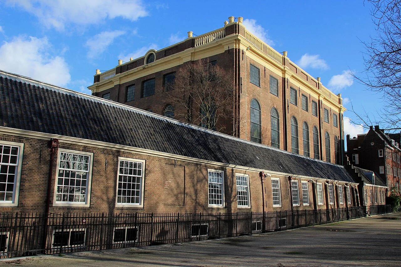
Portuguese Synagogue (Esnoga)
Amsterdam•spiritual
1671 - 1675
52.3672°N, 4.9047°E

Portuguese Synagogue (Esnoga)

1675 Sephardic synagogue lit entirely by hundreds of brass candle chandeliers

Once the largest synagogue in the world, with sand-covered wooden floors.

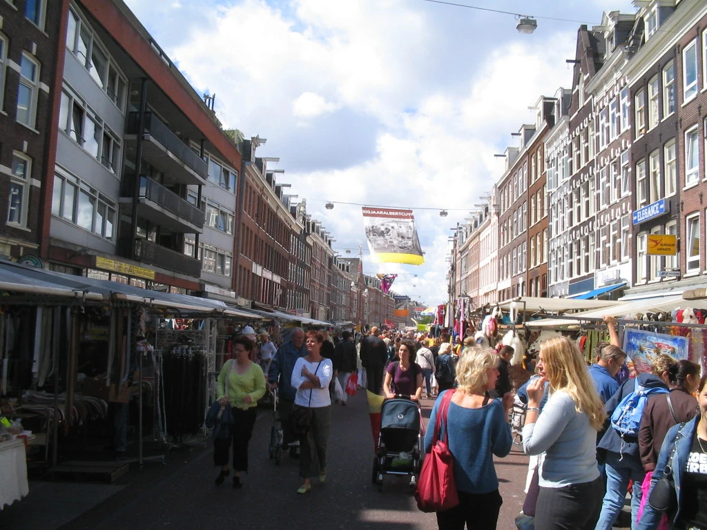
Albert Cuypmarkt (De Pijp)
Amsterdam•neighborhoods
1905 - Present
52.3558°N, 4.8950°E

Albert Cuypmarkt (De Pijp)

Amsterdam's most famous and largest daily street market with 260 stalls

Iconic spot to taste fresh warm stroopwafels, raw herring, and Dutch cheeses.

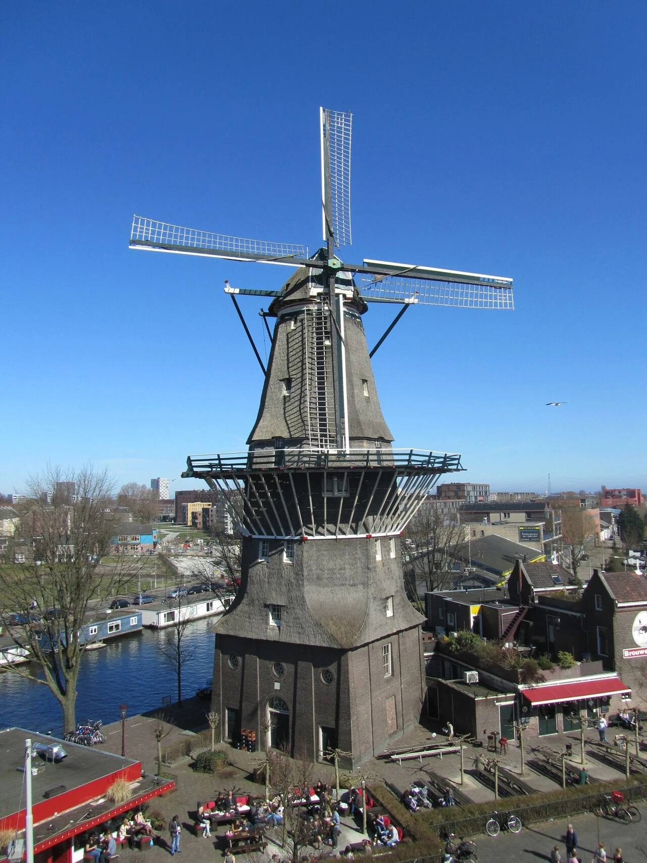
De Gooyer Windmill & Brouwerij 't IJ
Amsterdam•monuments
1725
52.3669°N, 4.9264°E

De Gooyer Windmill & Brouwerij 't IJ

Tallest wooden windmill in the Netherlands (1725) next to an organic craft brewery

Historic eight-sided corn mill standing on the Singelgracht.

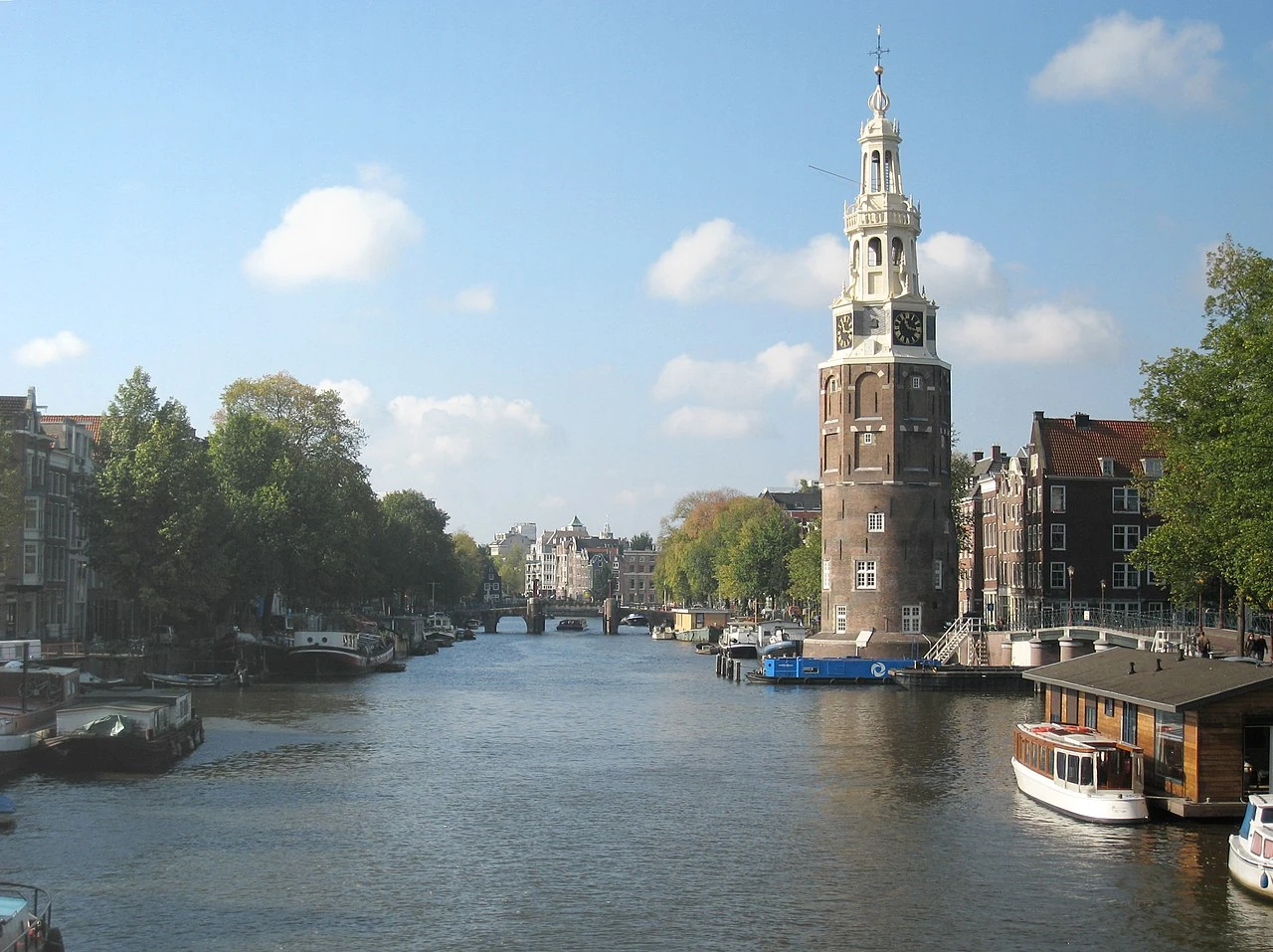
Munttoren (Mint Tower)
Amsterdam•monuments
1480 - 1620
52.3672°N, 4.8933°E

Munttoren (Mint Tower)

15th-century medieval watchtower with Hendrick de Keyser carillon on the Singel

Where Dutch coins were minted in 1672 during the French invasion.

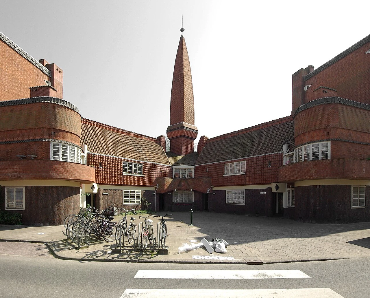
Museum Het Schip
Amsterdam•museums
1919 - 1921
52.3906°N, 4.8736°E

Museum Het Schip

Masterwork of Amsterdam School Expressionist brick architecture in the Spaarndammerbuurt

Designed by Michel de Klerk in 1920 as a 'Palace for the Working Class'.

Zuiderkerk (Southern Church)
Amsterdam•spiritual
1603 - 1611
52.3703°N, 4.8994°E

Zuiderkerk (Southern Church)

First Protestant church built in Amsterdam (1611) immortalized by Claude Monet

Features a graceful 68-meter clock spire overlooking Nieuwmarkt.

Montelbaanstoren
Amsterdam•monuments
1516 - 1606
52.3719°N, 4.9056°E

Montelbaanstoren

1516 defensive canal watchtower on Oudezijds Achterburgwal nicknamed Malle Jaap

Preserves medieval canal defenses where sailor fleets assembled.

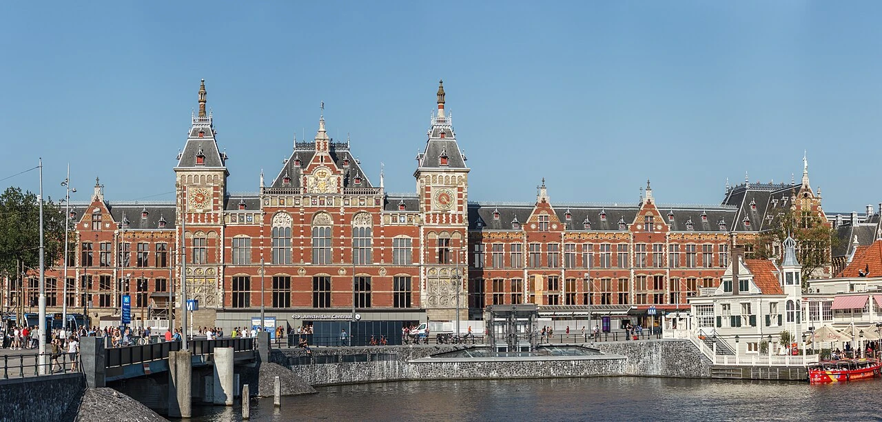
Amsterdam Centraal Station
Amsterdam•monuments
1881 - 1889
52.3791°N, 4.9003°E

Amsterdam Centraal Station

Pierre Cuypers' Neo-Renaissance waterfront railway terminal on 8,600 wooden piles

Monumental railway palace connecting all international rail and canal routes.

Sarphatipark
Amsterdam•parks
1885
52.3542°N, 4.8967°E

Sarphatipark

Picturesque English landscape park in the heart of the trendy De Pijp district

Designed in 1885 with winding ponds, weeping willows, and grassy lawns.

Museum Willet-Holthuysen
Amsterdam•museums
1687
52.3653°N, 4.8986°E

Museum Willet-Holthuysen

Exquisite 17th-century canal palace on the Herengracht with symmetry garden

Bequeathed with all original period furniture, silver, and ballroom decor.

Amsterdamse Bos
Amsterdam•parks
1934 - Present
52.3167°N, 4.8333°E

Amsterdamse Bos

Massive 2,000-acre man-made urban forest, lakes, and Olympic rowing course

Three times larger than Central Park in New York, created in the 1930s.

De Hallen Amsterdam & Foodhallen
Amsterdam•neighborhoods
1902 - 2014
52.3683°N, 4.8694°E

De Hallen Amsterdam & Foodhallen

Repurposed 1902 historic tram depot converted into a trendy culinary and cultural hub

Artisan indoor food market, indie cinema, library, and designer craft studios.

Zuiderbad (1912 Heritage Bathhouse)
Amsterdam•leisure
1912
52.3592°N, 4.8867°E

Zuiderbad (1912 Heritage Bathhouse)

Monumental 1912 Art Nouveau indoor swimming palace near the Museumplein

Preserves original tiled balconies, stained glass, and barrel-vaulted skylights.

Cobra Museum of Modern Art
Amsterdam•museums
1995
52.3042°N, 4.8583°E

Cobra Museum of Modern Art

Vibrant museum dedicated to the post-war avant-garde CoBrA art movement

Showcases spontaneous, colorful, and expressive works by Karel Appel and Corneille.

Pathé Tuschinski Theater
Amsterdam•monuments
1921
52.3661°N, 4.8958°E

Pathé Tuschinski Theater

World's most beautiful cinema blending Art Deco, Art Nouveau, and Jugendstil splendor

Inaugurated in 1921 by Abraham Tuschinski with hand-painted silk wall murals.

House of Bols & Genever Heritage
Amsterdam•leisure
1575 - 2007
52.3589°N, 4.8817°E

House of Bols & Genever Heritage

World's oldest distilled spirits brand (1575) cocktail experience on Museumplein

Interactive sensory tour through 42 liqueurs and authentic Dutch genever.

STRAAT Museum (NDSM Wharf)
Amsterdam•museums
2020
52.3997°N, 4.8931°E

STRAAT Museum (NDSM Wharf)

World's largest museum for graffiti and street art inside an 8,000 m² shipyard hall

Features 180+ monumental street art murals created on-site by international artists.

Zaanse Schans Historic Windmill Village
Amsterdam•monuments
18th Century - Present
52.4731°N, 4.8197°E

Zaanse Schans Historic Windmill Village

Open-air heritage reserve of functioning 18th-century industrial windmills and craft shops

Preserves authentic oil, paint, mustard, and sawmill windmills along the Zaan river.